
General Information
| Other name(s): | La Provencale |
|---|---|
| Status: | in use |
Project Type
| Function / usage: |
Motorway / Freeway / Interstate |
|---|
Location
| km | Name |
Technical Information
Dimensions
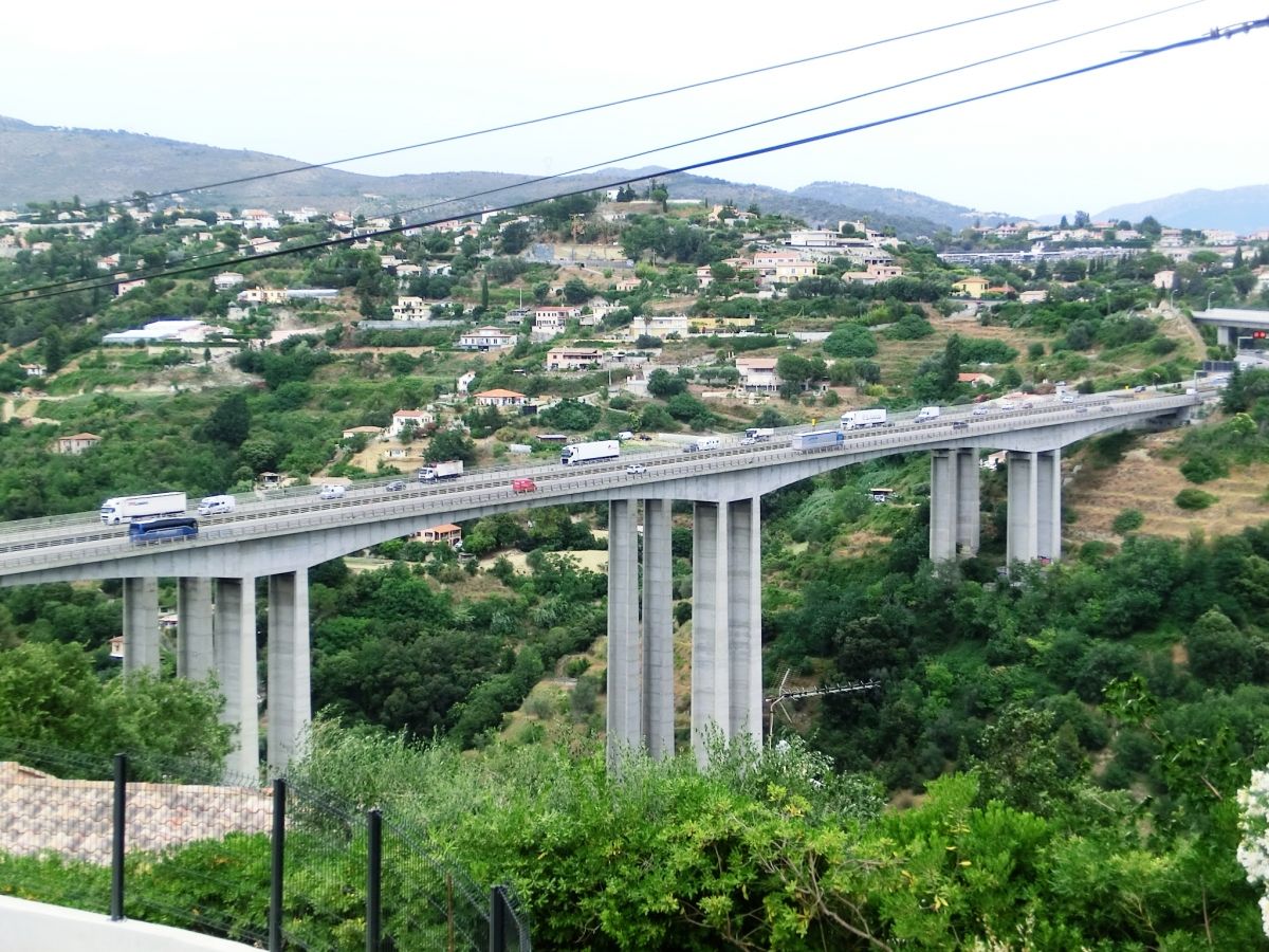
| Lot Nice | length | 10.3 km |
| length of viaducts | 1 053 m | |
| Lot Nice-La Turbie | length | 8.7 km |
| length of viaducts | 1 716 m |
Chronology
| December 1976 | Opening of the 1st section, the Nice Ring Road. |
|---|---|
| 10 February 1978 | Opening of the 2nd section between Nice and La Turbie. |
Excerpt from Wikipedia
The A8 autoroute, also known as La Provençale, is a 224-kilometer (139 mi)-long highway in France that runs between Aix-en-Provence and the A7 to the Côte d'Azur.
Route
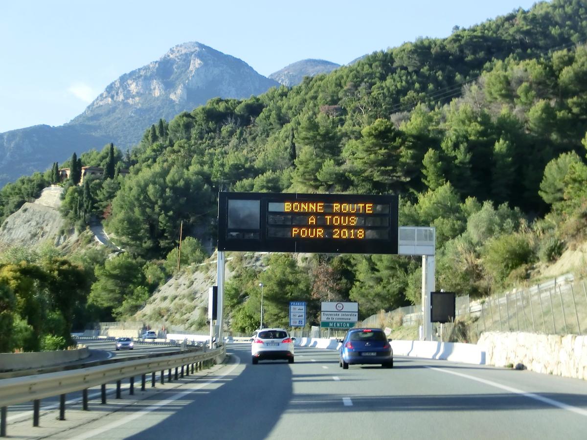
The A8 is an extension of the A7 starting to the west of Aix-en-Provence at La Fare-les-Oliviers. The road passes through the Departments of Bouches-du-Rhône, Var and Alpes-Maritimes. It serves the towns of Aix-en-Provence, Fréjus, Saint-Raphaël, Mandelieu-la-Napoule, Cannes, Antibes, Nice, Monaco and Menton before crossing the border where it becomes the A10 in Italy. It crosses the mountain ranges of Sainte-Baume and of Maures between Aix-en-Provence and Fréjus and the Massif de l'Esterel between Saint-Raphaël and Cannes. Following the Grande Corniche the road offers panoramas of the sea between Nice and Menton.
Capacity
- 2x3 lanes from Coudoux (the junction with the A7 to La Barque (junction with the A52).
- 2x2 lanes from La Barque to Saint-Maximin-la-Sainte-Baume (being expanded to 2x3 lanes) increases to 2x3 lanes at Cagnes-sur-Mer.
- 2x4 lanes from Cagnes-sur-Mer to Saint-Laurent-du-Var (the road enters the Nice conurbation).
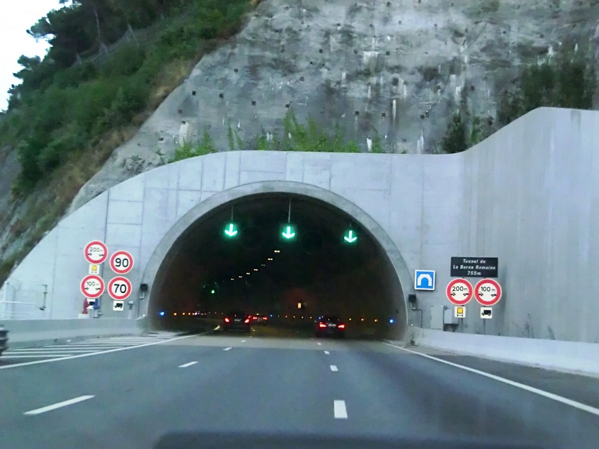
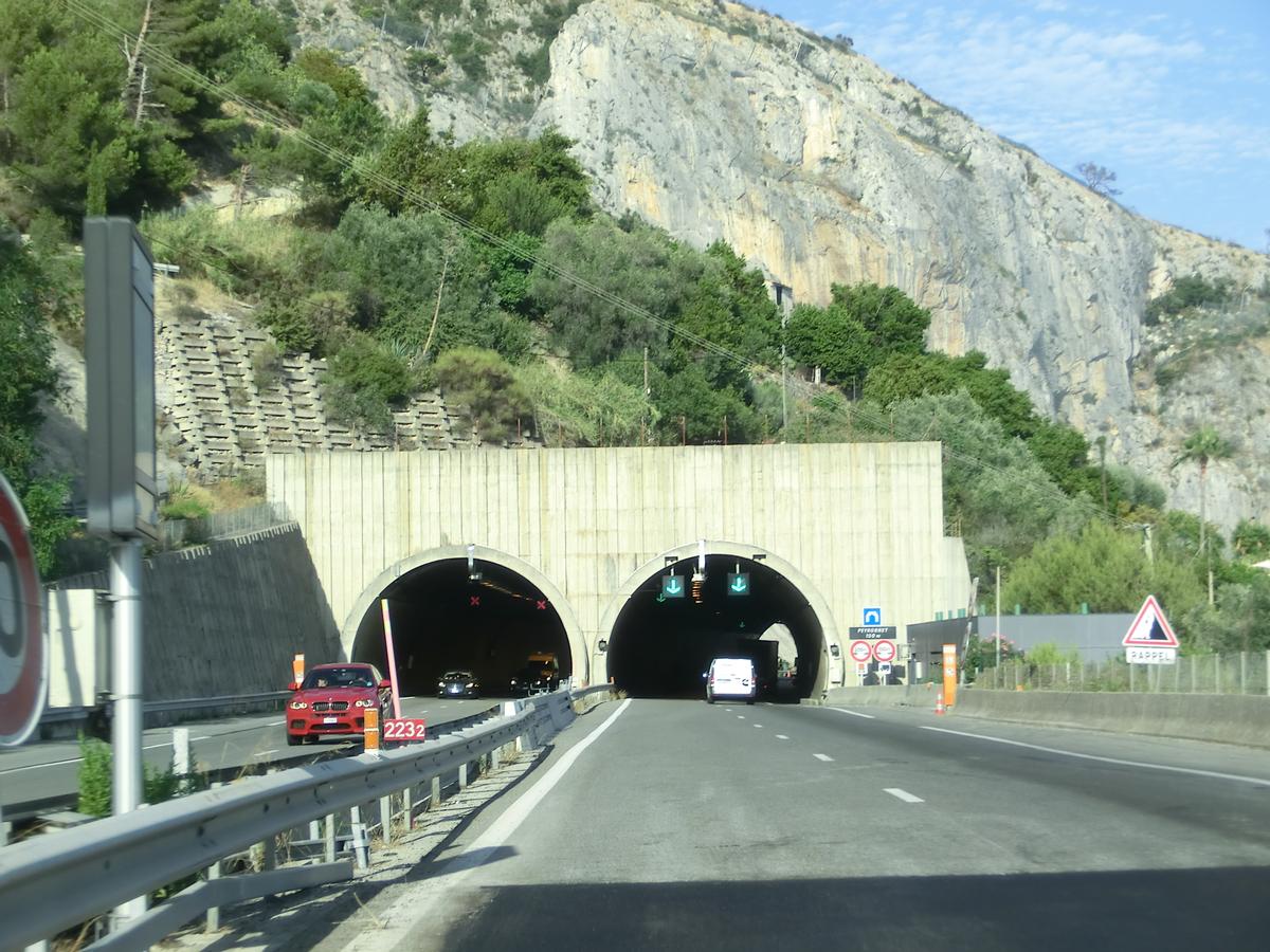
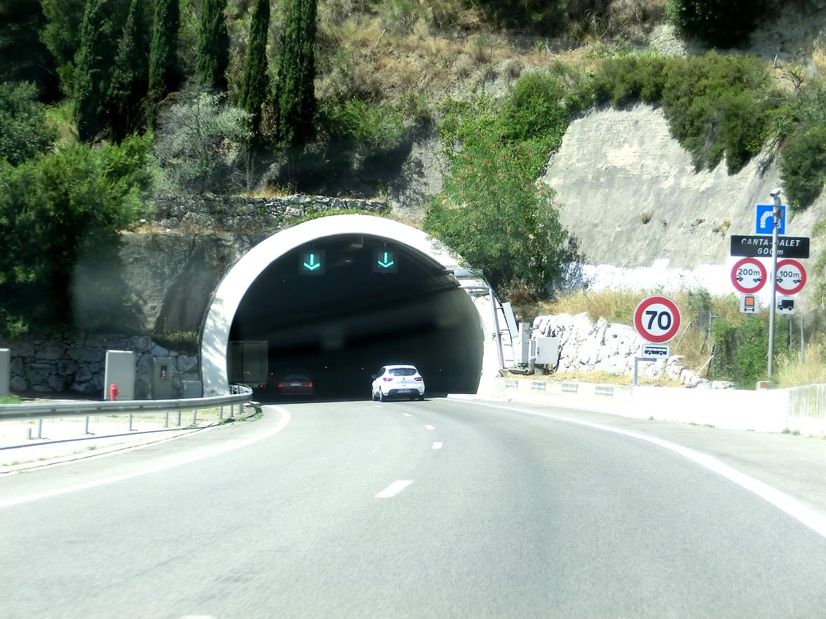
- 2x2 lanes in the section through the southern Alps from Nice Saint-Augustin to the frontier with Italy, this section has 15 tunnels. There is a speed limit of 90 km/h in the tunnels (70 km/h for large vehicles).
Traffic
The road has heavy traffic all year round and is especially congested in July and August (in particular around Antibes and Nice. As a result, traffic-management schemes have been adopted between Var to Nice-West similar to those on the Péripherique in Paris. The autoroute is regularly closed on the Nice-Menton section as a result of rock falls onto the carriageways. The sections crossing the Maures and L'Esterel mountains are at risk from forest fires in summer.
Interchanges
- 28 : A7 autoroute, Coudoux
- Aires de repos: Ventabren
- 29 18 km: Aix-en-Provence (ouest)
- 28 : A51 autoroute
- 30 19 km: Aix-en-Provence (pont de l'Arc)
- 31 21 km: Aix-en-Provence (est)
- 32 27 km: N7 Châteauneuf-le-Rouge
- Péage de La Barque
- : A52 autoroute
- Aires de service: Rousset (eastbound) L'Arc (westbound)
- 33 47 km: Pourrières
- Aires de repos: Saint-Hilaire (eastbound) Barcelone (westbound)
- 34 58 km: Saint-Maximin-la-Sainte-Baume
- Aires de service: Cambarette
- 35 74 km: Brignoles
- Aires de repos: Roudai/Candumy
- : A57 autoroute
- Aires de service: Vidauban
- 36 118 km: Draguignan / Le Muy, Gulf of Saint-Tropez
- Aires de repos: Jas Pellicot
- Aires de service: Canaver
- 37 129 km: Fréjus / Puget-sur-Argens
- Péage de Le Capitou/Fréjus Ouest
- 38 134 km: Fréjus / Saint-Raphaël
- Aires de service: L'Esterel
- 39 145 km: les Adrets-de-l'Esterel
- 40 157 km: Mandelieu-la-Napoule
- 41 159 km: Cannes / Les Tourrades
- 42 165 km: Cannes / Mougins
- Aires de repos: Piccolaret
- Aires de service: Breguieres
- 44 171 km: Antibes Ouest, Sophia Antipolis
- Péage d' Antibes Ouest
- 46 178 km: Villeneuve-Loubet / Bouches du Loup
- 47 179 km: Villeneuve-Loubet Centre
- 48 181 km: Cagnes-sur-Mer
- 49 185 km: Saint-Laurent-du-Var
- 50 186 km: Nice (promenade des Anglais)
- 51 187 km: Nice (Saint-Augustin)
- Péage de Nice Saint-Isidore
- 52 190 km: Nice (Saint-Isidore)
- 54 197 km: Nice (nord)
- 55 199.5 km: Nice (l'Ariane)
- 56 : Monaco (A500 Spur)
- Péage de La Turbie
- 57 208 km: La Turbie
- Aires de service: La Scoperta (eastbound) Beausoleil (westbound)
- 58 214 km: Roquebrune-Cap-Martin
- 59 220 km: Menton
- State border
- 224 km Autostrada A10 (Italy)
Opening dates of the A8
- 1956: Creation of Escota, a company to be in charge of all the sections from Aix-en-Provence to the Italian Frontier.
- 1961: Opening of the toll sections of Fréjus through Mandelieu-la-Napoule to Cagnes-sur-Mer (exit 46).
- 1969: Opening of the toll section from Roquebrune to the Italian frontier (initially only one carriageway and for lightweight vehicles. Then, in 1970, both carriageways were opened).
- 1971–1974: Staged opening of the sections between Aix-en-Provence and Fréjus.
- 1976: Opening of the section between Cagnes-sur-Mer and Roquebrune (partly one carriageway only—the doubling of some tunnels was completed as late as 1988).
Text imported from Wikipedia article "A8 autoroute" and modified on July 22, 2019 according to the CC-BY-SA 4.0 International license.
Participants

Relevant Web Sites


Relevant Publications
- (1974): Autoroute A8 La Provençale - La section Aix - Brignoles a bénéficié d'un effet particulier d'insertion dans le site. In: Travaux (November 1974), pp. 52.
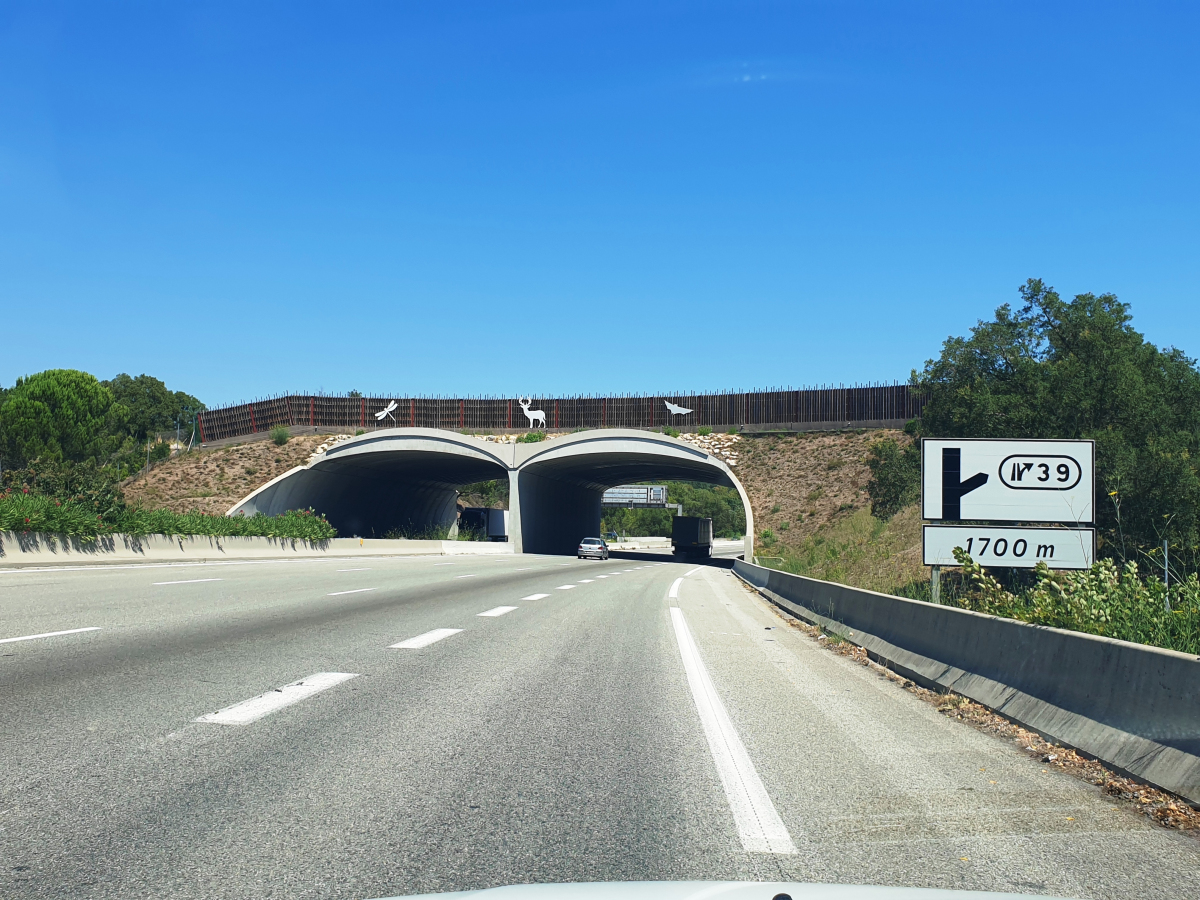
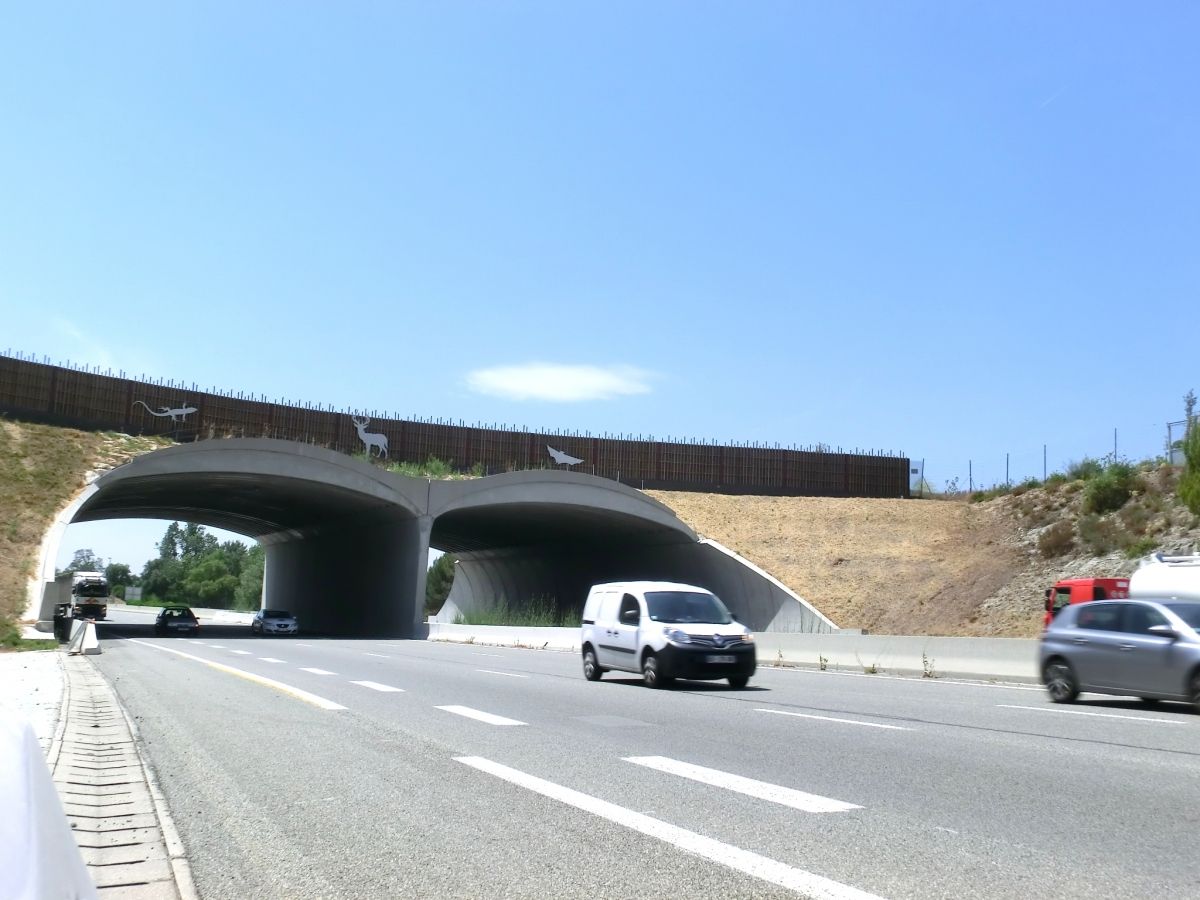
- (2018): Conception-réalisation de l'écopont des Adrets-de-l'Estérel sur l'autoroute A8. In: Travaux, n. 940 (March 2018), pp. 80-87.
- (1974): Contournement de Nice par l'autoroute A8 - Section Saint-Isidore - Le Paillon. In: Travaux (November 1974), pp. 61.
- (1980): Deux exemples d'ouvrages de soutènement en site difficile sur l'autoroute A8, Nice - Roquebrune. In: Travaux, n. 539 (January 1980), pp. 31-40.
- (1989): Echangeur de Cannes-Ouest (A8). Quatre techniques de pointe pour un échangeur. In: Travaux, n. 645 (July - August 1989), pp. 84-93.
- About this
data sheet - Structure-ID
10000142 - Published on:
22/08/2002 - Last updated on:
12/01/2023


