


General Information
| Name in local language: | Jetée du Mont-Saint-Michel |
|---|---|
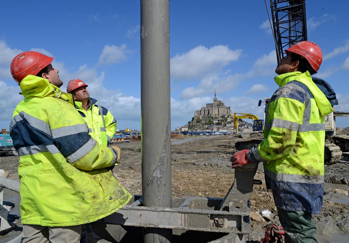
| Beginning of works: | January 2012 |
| Completion: | December 2014 |
| Status: | in use |
Project Type
| Structure: |
Girder bridge |
|---|---|
| Function / usage: |
Road bridge Pedestrian bridge (footbridge) |
| Material: |
Steel-reinforced concrete composite bridge Structurae Plus/Pro - Subscribe Now! |
| Plan view: |
Structurae Plus/Pro - Subscribe Now! |
Awards and Distinctions
| 2015 |
award winner
for registered users |
|---|
Location
| Location: |
Le Mont-Saint-Michel, Manche (50), Normandy, France |
|---|---|
| See also: |
Caserne Dam (2008)
|
| Coordinates: | 48° 37' 55.96" N 1° 30' 32.59" W |
Technical Information
Dimensions
| width | 11.50 m | |
| length | 1 000 m | |
| bridge surface | 10 580 m² | |
| standard span lengths | 12 m |
Materials
| piers |
steel tubes
|
|---|---|
| deck slab |
reinforced concrete
|
| cross beams |
steel
|
| girders |
steel
|
Notes
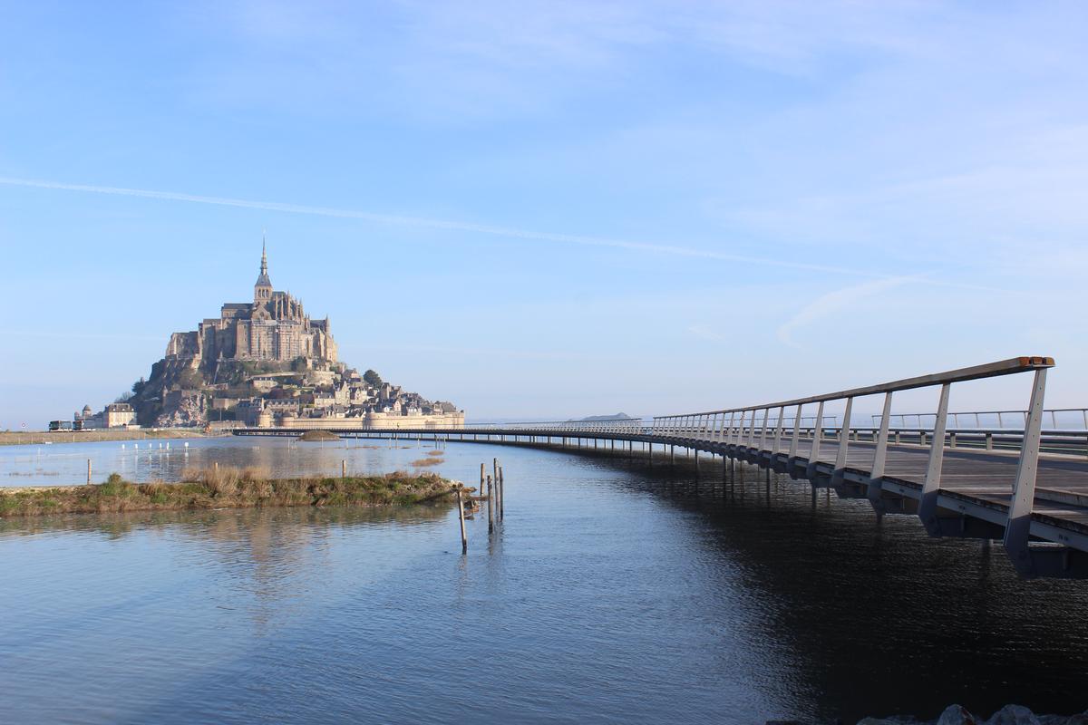
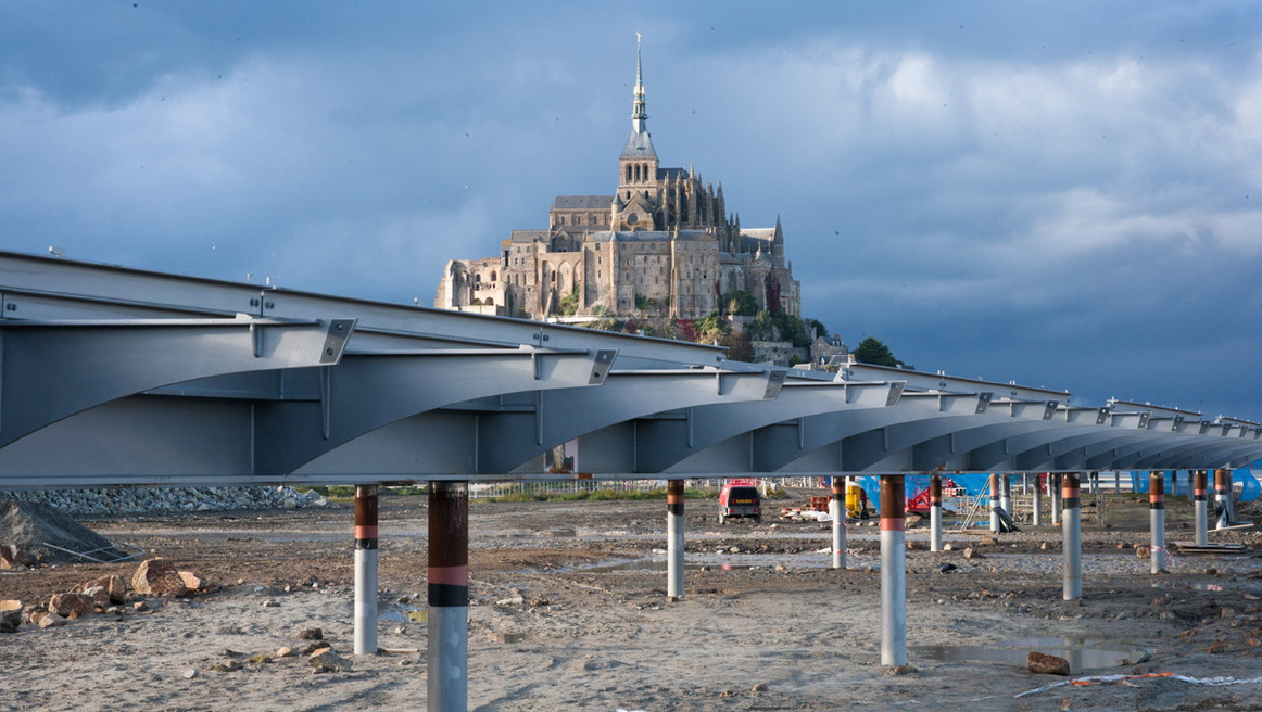
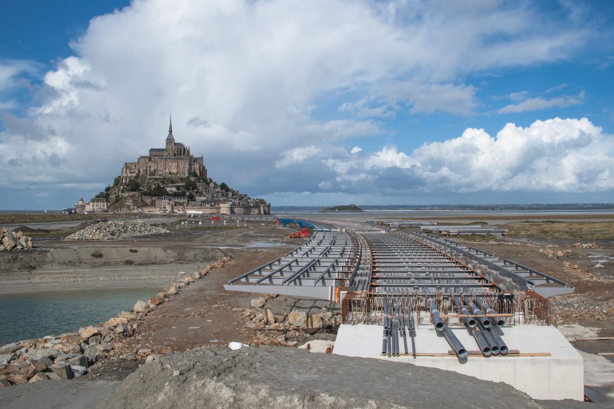
The objective of the project coming out of the competition was to design
a structure that replaces the existing dam, which integrates itself unobtrusively
into the seemingly unending coastal landscape of the world culture
heritage site, and regains the maritime character of Mont Saint Michel.
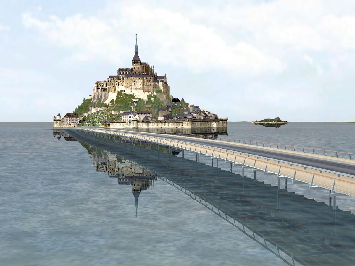
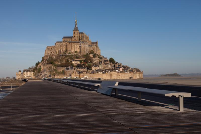
The footbridge leads the pedestrian in a sweeping motion to the mountain,
presenting different perspectives for views along the way. Inspired
by the classical boating dock, thin steel columns that impact the water
flow of the tides only minimally, support the concrete slab. The minimal
column spacing of 12 m allows for a maximized reduction in the slab
cross-section, so that the bridge appears to float above the water. The
transparent wooden pavement of the footpath rests on steel consoles on
each side.
Participants
Owner
Architecture
-
Dietmar Feichtinger Architectes
- Dietmar Feichtinger (architect)
Structural engineering

Checking engineering
Steel construction

Concrete construction
Special foundations
Steel supplier
Construction supervision
Relevant Web Sites


Relevant Publications
- (2007): Une maquette 3D préfigure la remise à flot du Mont-Saint-Michel. In: Le Moniteur des Travaux Publics et du Bâtiment, n. 5423 (2 November 2007), pp. 68.
- (2015): Robustheit durch Flexibilität - Die Brücke zum Mont-Saint-Michel. In: (2015): Ingenieurbaukunst 2016. Ernst & Sohn, Berlin (Germany), ISBN 9783433031261, pp. 84-91.
- About this
data sheet - Structure-ID
20015243 - Published on:
23/02/2005 - Last updated on:
06/07/2017
Structurae cooperates with


