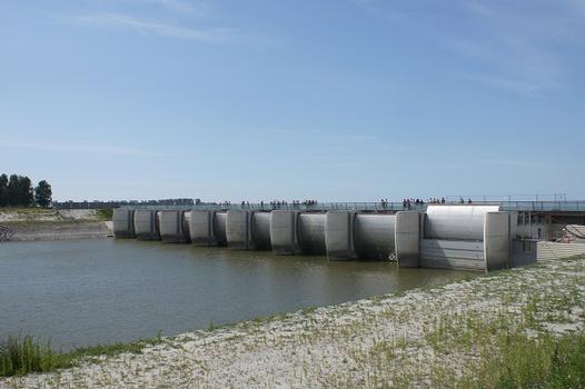
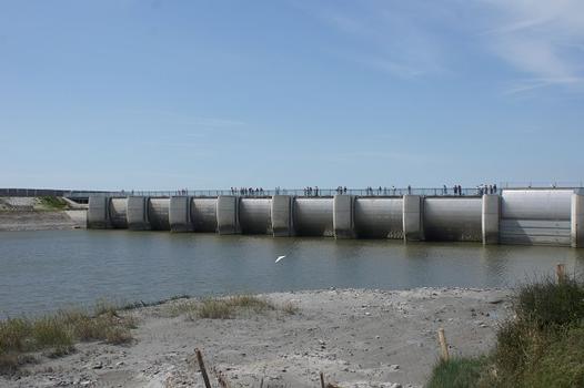
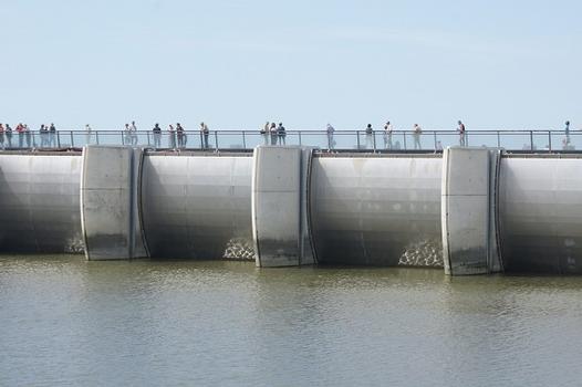
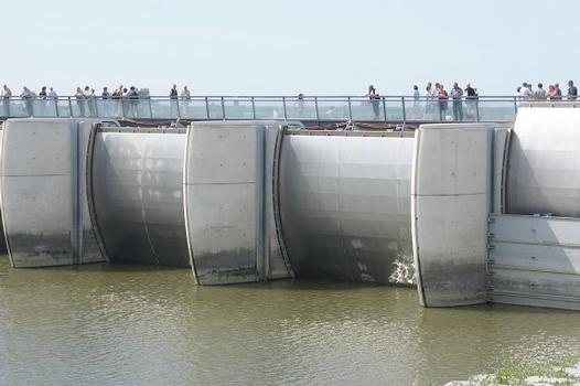
General Information
Project Type
| Function / usage: |
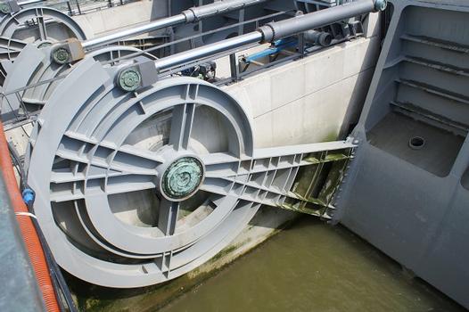
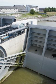
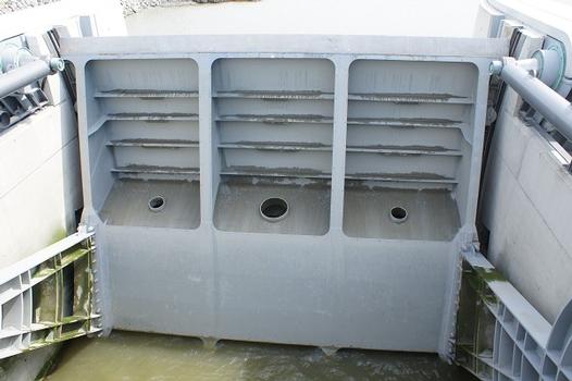
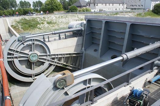
Flood-control dam |
|---|---|
| Structure: |
Mobile barrage |
Awards and Distinctions
| 2010 |
award winner
for registered users |
|---|
Location
| Location: |
Le Mont-Saint-Michel, Manche (50), Normandy, France Beauvoir, Manche (50), Normandy, France |
|---|---|
| Crosses: |
|
| See also: |
Mont-Saint-Michel Pier (2014)
|
| Coordinates: | 48° 37' 3" N 1° 30' 44" W |
Technical Information
Dimensions
| width | 15.60 m | |
| length | 138 m |
Cost
| cost of construction | Euro 37 100 000 |
Participants
Owner
Architecture
- Luc Weizmann (architect)
Landscape architecture
- Bertrand Lanctuit (landscape architect)
Consulting engineers
Civil works
Steel construction
Relevant Web Sites
Relevant Publications
- (2008): Le barrage à mi-parcours. In: Le Moniteur des Travaux Publics et du Bâtiment, n. 5457 (June 2008), pp. 76.
- (2007): Un barrage pour rendre le Mont-Saint-Michel à la mer. In: Chantiers de France, n. 404 (October 2007), pp. 26-28.
- (2008): Construire un barrage pour désensabler la baie. In: Prévention BTP, n. 110 (September 2008), pp. 12-15.
- Des bras de vannes très ouvragés. In: Le Moniteur des Travaux Publics et du Bâtiment, n. 5464 (15 August 2008), pp. 8-9.
- (2007): Une maquette 3D préfigure la remise à flot du Mont-Saint-Michel. In: Le Moniteur des Travaux Publics et du Bâtiment, n. 5423 (2 November 2007), pp. 68.
- About this
data sheet - Structure-ID
20029240 - Published on:
16/07/2007 - Last updated on:
30/07/2014

