General Information
| Completion: | 1992 |
|---|---|
| Status: | in use |
Project Type
| Function / usage: |
Motorway / Freeway / Interstate |
|---|
Location
| km | Name |
Technical Information
Dimensions
| total length | 428 km |
Chronology
| 10 July 1998 | The section Cahors sud - Montauban nord is opened to traffic. |
|---|---|
| 5 February 1999 | Opening to traffic of the section Nespouls (Brive). |
| 13 July 2001 | The section Souillac - Cahors nord is opened to traffic. |
| 30 June 2003 | The section Cahors nord - Cahors sud is opened to traffic. |
Excerpt from Wikipedia
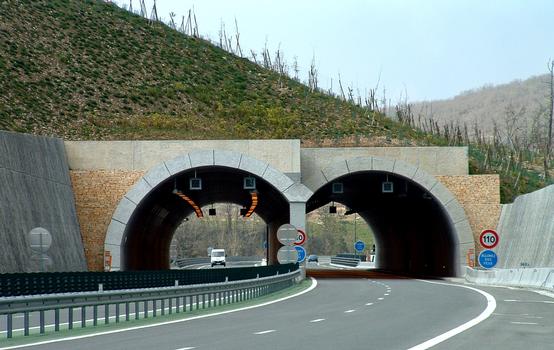
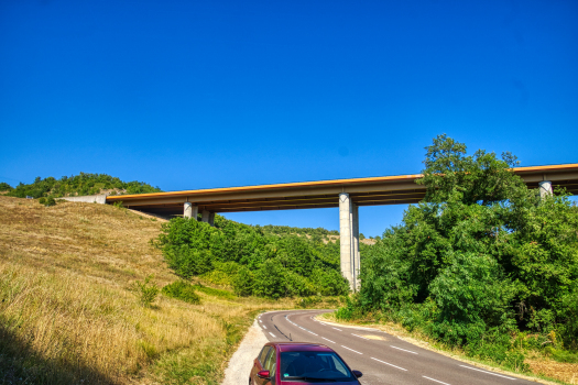
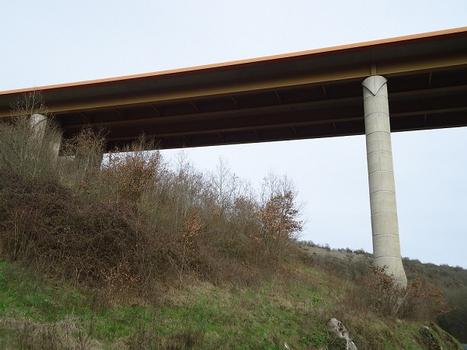
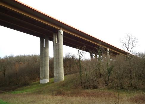
The A20 autoroute or L'Occitane is a highway through central France. A part of France's national network of autoroutes, it is 412 kilometres (256 mi) long.
Regions Crossed
The road travels through the areas of Occitania, Limousin and Midi-Pyrénées. It starts at Vierzon in Cher and finishes in the south at Montauban in Tarn-et-Garonne. However further sections between Orléans and Vierzon (A71) and Montauban-Toulouse (A62) could be renamed the A20 in the not too distant future. L'Occitane is free from Vierzon to Brive-la-Gaillarde via Limoges.
The operating companies are ASF between Cressensac and Montauban, DDE in the department between Vierzon and Nespouls. The road crosses the following departments Cher, Indre, Creuse, Haute-Vienne, Corrèze, Lot, Tarn-et-Garonne
History
The motorway was proposed to reduce the travel time along the RN20 and to avoid congestion during holiday periods at Châteauroux, Argenton-sur-Creuse, Saint-Benoît-du-Sault, Limoges, Uzerche, Brive, Souillac, Cahors and Montauban.
Route
From Vierzon to Martel
The motorway is managed by the respective DDE in Cher, Indre, Creuse, Haute-Vienne, of Corrèze and Lot. It is a free motorway with 2x2 lanes, with certain sections with 2x3 lanes, for example the by-pass of Limoges.
History
- Pre 1992: The Brive and Limoges by-pass.
- 1992 to 2000: creation of the various sections of the motorway
Future
In the long term, a new by-pass for Limoges is proposed (The A20bis project), in order to return the section of the A20 motorway which crosses the Limoges conurbation to its original planned use as a major urban road.
From Martel to Montauban
The motorway is operated by ASF. It is a toll road (closed system) with 2x2 lanes.
History
- 1996 to 2003: Construction of the section.
Deviation of Montauban and Montauban section - A62
This section is managed by the DDE of Tarn-et-Garonne. It is in 2x2 lanes and free. The Montauban by-pass is the last missing link of A20. The link is currently signaled the RN20 which has yet to be upgraded to autoroute standard. To the south of Montauban, the RN20 was upgraded to motorway standard in the Nineties, and has been re-numbered the A62.
History
- 1992: Construction of the Montauban by-pass
- 2007: Upgrade to the motorway standard
Text imported from Wikipedia article "A20 autoroute" and modified on July 22, 2019 according to the CC-BY-SA 4.0 International license.
Participants
- Autoroutes du Sud de la France
- Ministère de l'Equipement, des Transports, du Logement, du Tourisme et de la Mer
Relevant Web Sites
Relevant Publications
- (1994): A20 (deux nouvelles sections). Les terrassements généraux. In: Travaux, n. 704 (December 1994), pp. 14-18.
- (2002): A20 - Cahors Sud / Cahors Nord (Lot / Cahors Nord). Hauts déblais, grands remblais. In: Travaux, n. 787 (June 2002), pp. 39-42.
- (1991): A20 - Déviation de Limoges: vecteur du futur. In: Travaux, n. 663 (March 1991), pp. 15-20.
- (2003): A20 - Le viaduc du Lot et la tranchée couverte de la Garenne. La construction de deux ouvrages contigus. In: Travaux, n. 803 (December 2003), pp. 34-46.
- (1999): A20 - Montauban - Brive. Section Cahors Nord - Souillac. Minage et respect du milieu naturel. In: Travaux, n. 756 (September 1999), pp. 46-49.
- About this
data sheet - Structure-ID
10000174 - Published on:
09/12/2002 - Last updated on:
10/02/2023

