
General Information
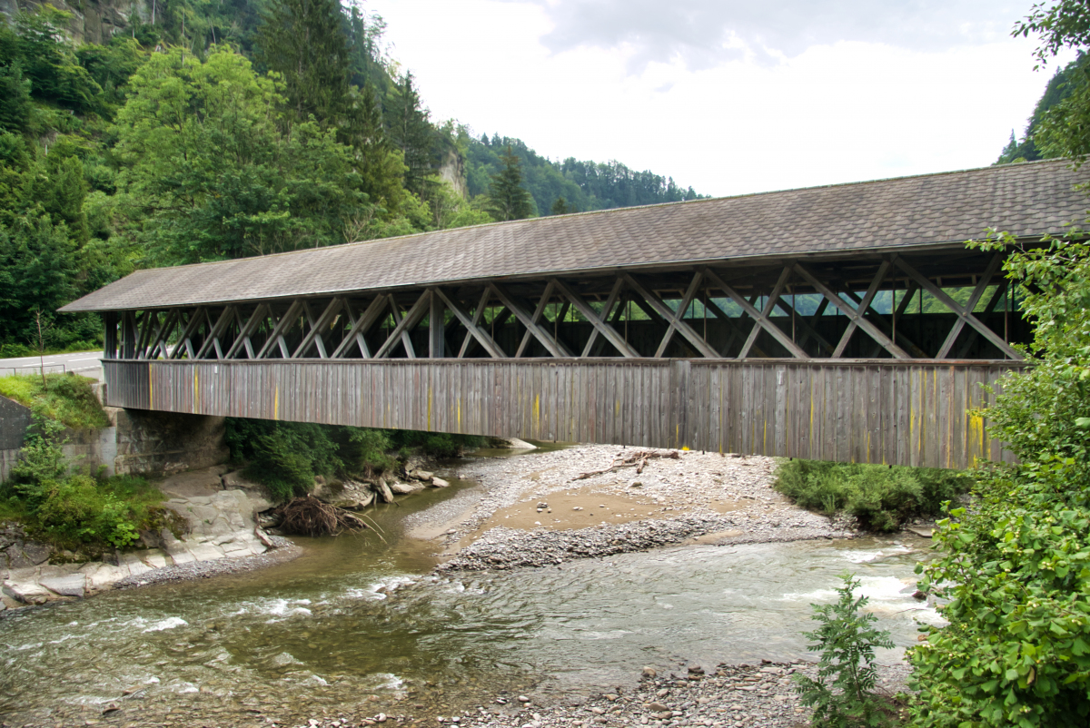
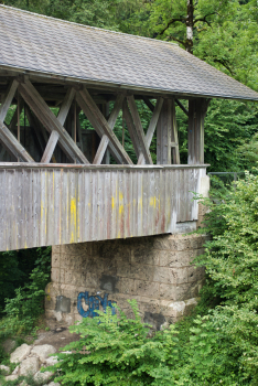
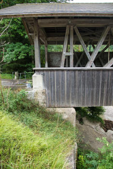
| Name in local language: | Alte Sodbachbrücke |
|---|---|
| Completion: | 1876 |
| Status: | in use |
Project Type
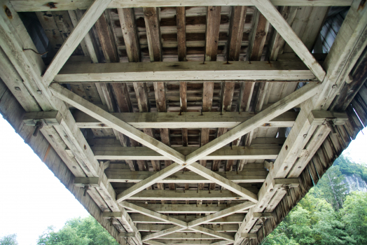
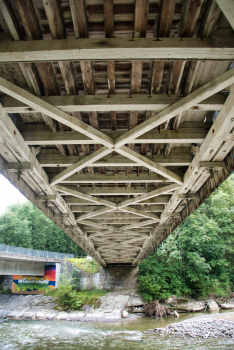
| Structure: |
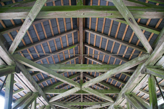
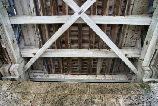
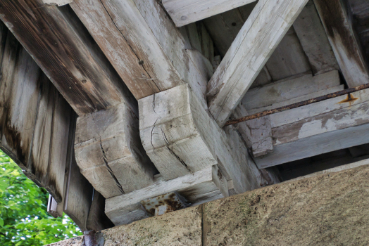
Covered bridge |
|---|---|
| Material: |
Timber bridge |
| Structure: |
Through truss bridge Howe type truss bridge |
| Function / usage: |
original use: Road bridge current use: Bicycle and pedestrian bridge |
Location
| Location: |
Heitenried, Fribourg, Switzerland Wahlern, Bern, Switzerland |
|---|---|
| Crosses: |
|
| Next to: |
Sodbach Bridge
|
| Coordinates: | 46° 49' 30.56" N 7° 19' 11.32" E |
Technical Information
Dimensions
| length | 43.0 m | |
| roadway / carriageway width | 3.0 m |
Participants
Currently there is no information available about persons or companies having participated in this project.
Relevant Web Sites
There currently are no relevant websites listed.
- About this
data sheet - Structure-ID
20020499 - Published on:
19/04/2006 - Last updated on:
21/08/2021
Structurae cooperates with


