
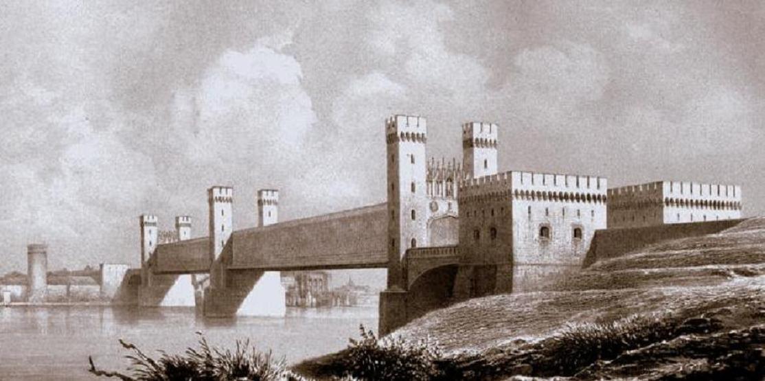
General Information
| Other name(s): | Stary most na Nogacie w Malborka |
|---|---|
| Beginning of works: | 1850 |
| Completion: | 1857 |
| Status: | destroyed (9 March 1945) |
Project Type
| Structure: |
Town lattice truss bridge |
|---|---|
| Function / usage: |
Road bridge Railroad (railway) bridge |
| Material: |
Metal bridge |
Location
| Location: |
Malbork, Pomeranian Voivodeship, Poland |
|---|---|
| Crossed: |
|
| Next to: |
Second Nogat River Bridge at Malbork (1891)
|
| Coordinates: | 54° 2' 38.90" N 19° 1' 47.12" E |
Technical Information
Dimensions
| total length | 279.50 m | |
| span lengths | 2 x 103.00 m | |
| number of spans | 2 |
Materials
| truss |
metal
|
|---|
Participants
Design
- Carl Lentze (designer)
Architecture
- Friedrich August Stüler (architect)
Structural engineering
- Rudolph Eduard Schinz (structural engineer)
Relevant Web Sites
There currently are no relevant websites listed.
Relevant Publications
- (1988): Die ersten preussischen Eisenbahnbrücken. Dirschau, Marienburg, Köln. Verschwundene Zeugnisse für Fortschrittsglauben u. Geschichtsbewusstsein. Begleitbuch zur Ausstellung d. Ostpreuss. Landesmuseums Lüneburg. pp. 88.
- : Zeugin der Geschichte. Die Alte Weichselbrücke in Dirschau. Kaiserslautern (Germany).
- About this
data sheet - Structure-ID
20008447 - Published on:
03/03/2003 - Last updated on:
28/02/2018
Structurae cooperates with


