
General Information
Project Type
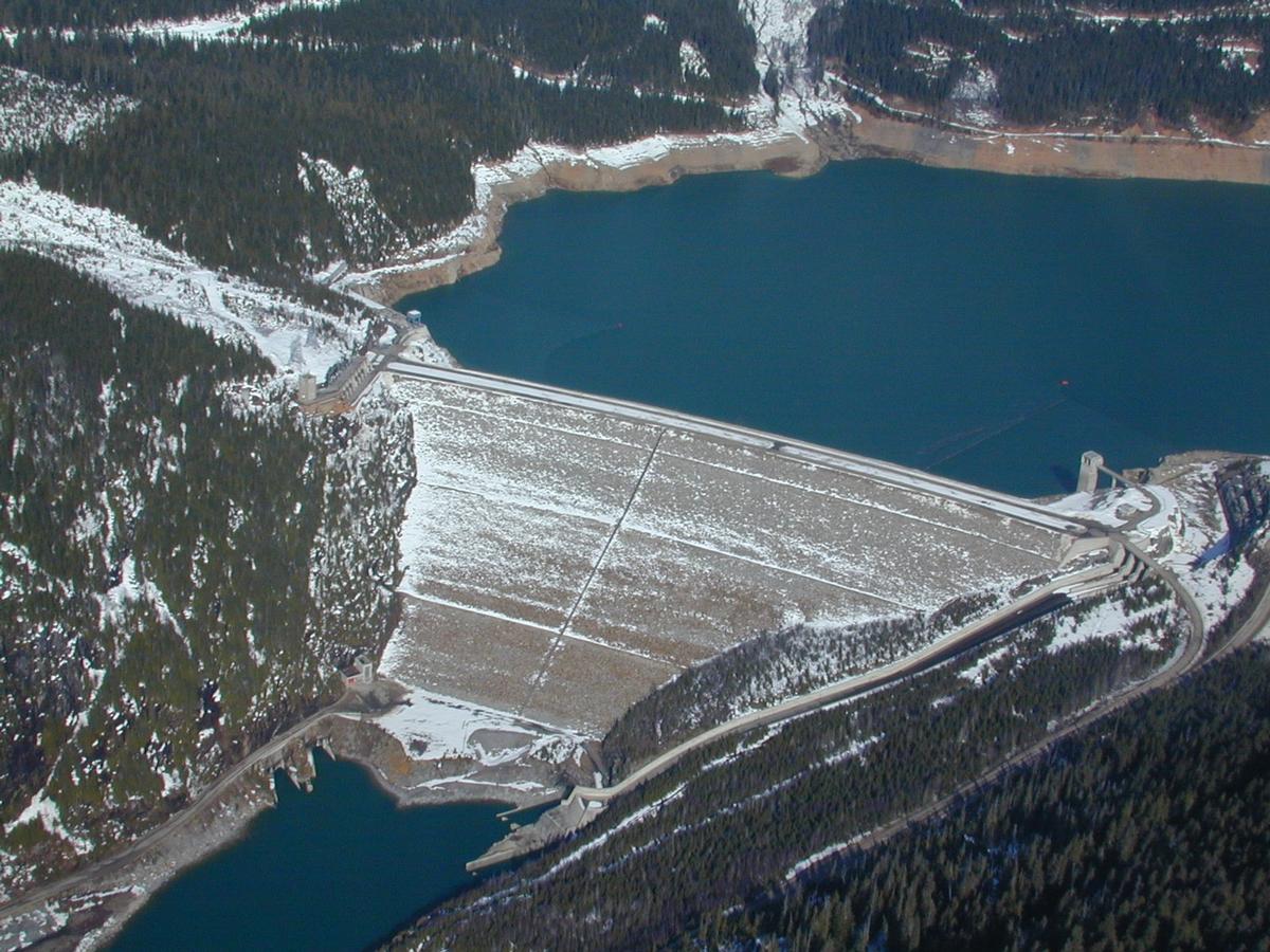
| Function / usage: |
Hydroelectric dam / plant |
|---|---|
| Structure: |
Rockfill dam |
Location
| Location: |
British Columbia, Canada |
|---|---|
| Impounds: |
|
| Coordinates: | 52° 4' 37.20" N 118° 33' 56.55" W |
Technical Information
Dimensions
| height | 240 m | |
| crest length | 792 m | |
| capacity for electric power generation | 1 805 MW |
Participants
Currently there is no information available about persons or companies having participated in this project.
Relevant Web Sites

- About this
data sheet - Structure-ID
20023901 - Published on:
19/10/2006 - Last updated on:
19/04/2016
Structurae cooperates with


