

General Information
| Completion: | 20 December 2010 |
|---|---|
| Status: | in use |
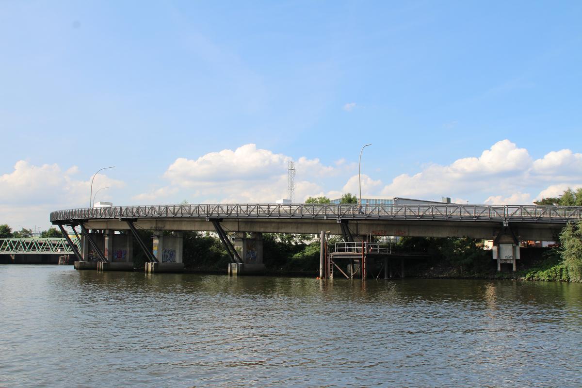
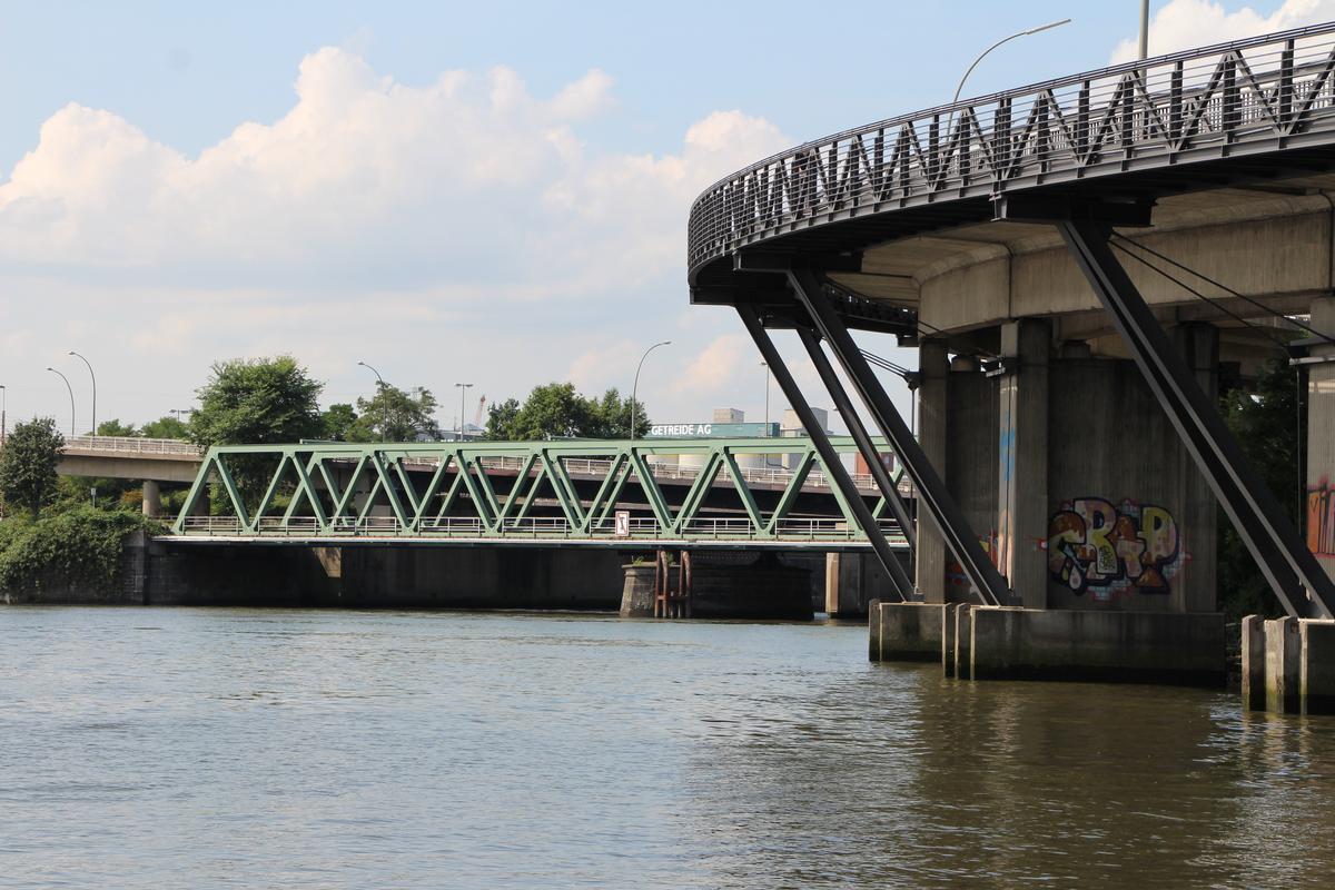
Project Type
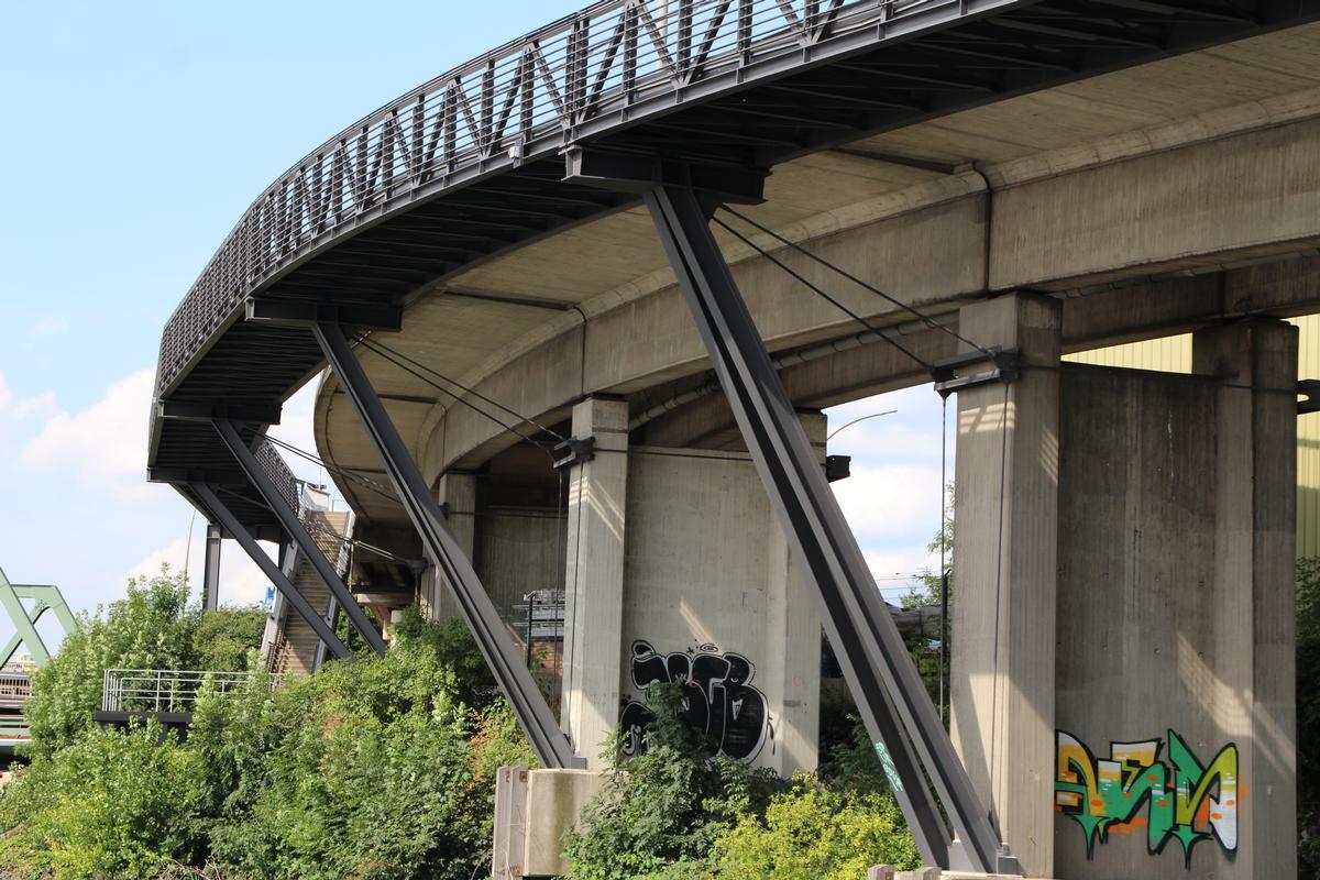
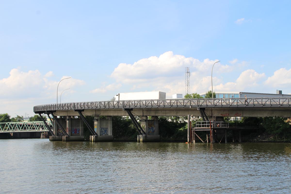
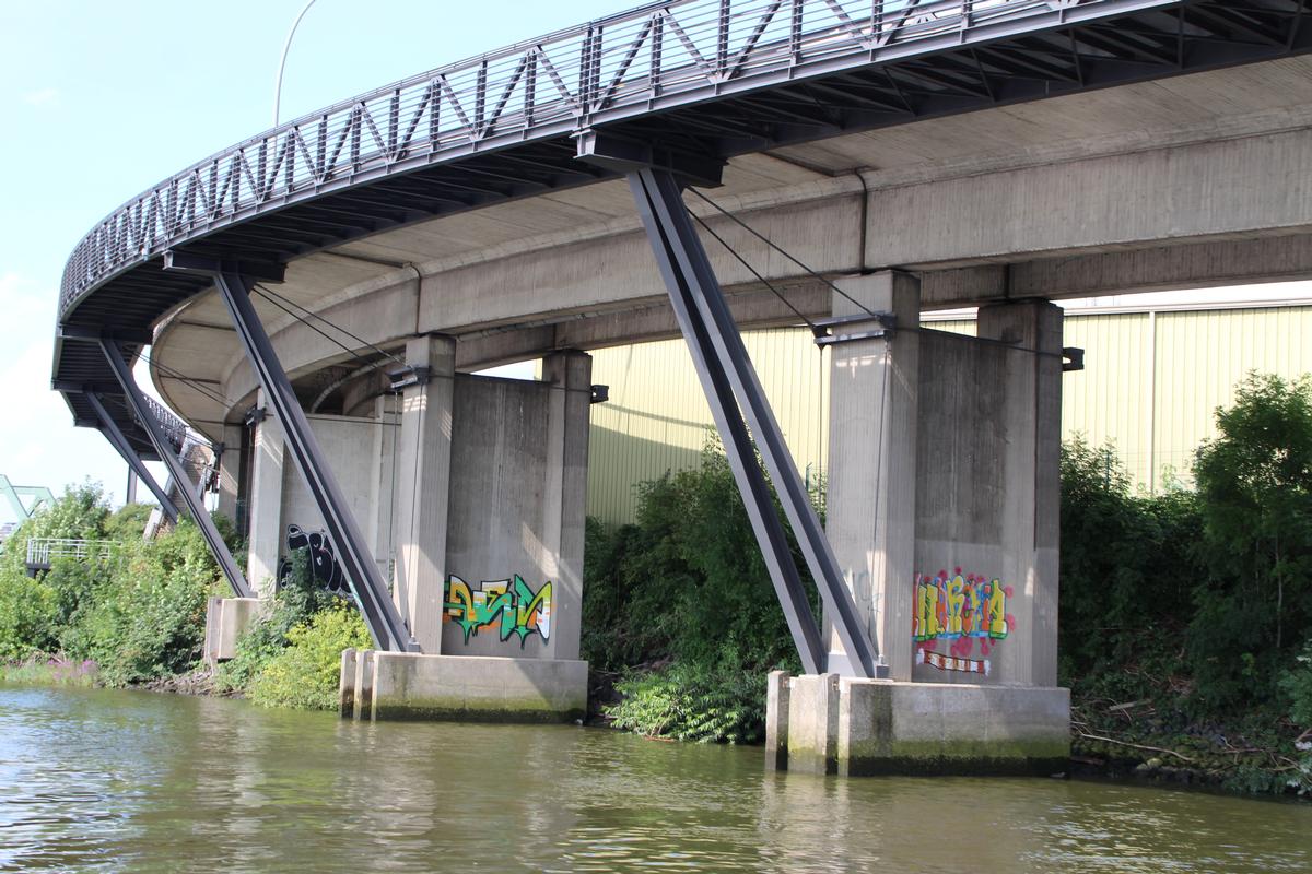
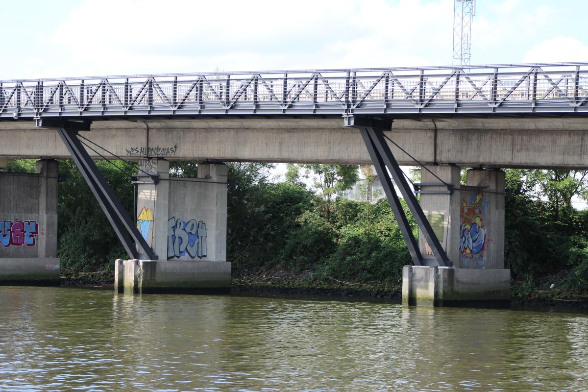
| Function / usage: |
Bicycle and pedestrian bridge |
|---|---|
| Structure: |
Pony truss bridge Subdivided Warren truss bridge |
| Support conditions: |
Structurae Plus/Pro - Subscribe Now! |
| Structure: |
Warren type truss bridge |
Location
| Location: |
Hamburg-Kleiner Grasbrook, Hamburg, Germany |
|---|---|
| Along: |
Klütjenfelder Elevated Road Bridge
|
| Coordinates: | 53° 31' 38.58" N 9° 58' 38.91" E |
| Coordinates: | 53° 31' 34.49" N 9° 58' 48.10" E |
Technical Information
There currently is no technical data available.
Participants
Owner
Structural engineering
Contractor
Steel construction

Relevant Web Sites

- About this
data sheet - Structure-ID
20066357 - Published on:
12/08/2014 - Last updated on:
05/02/2016
Structurae cooperates with


