

General Information
Project Type
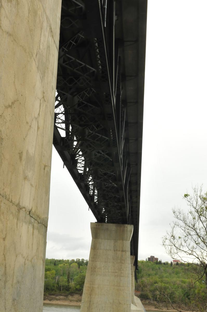
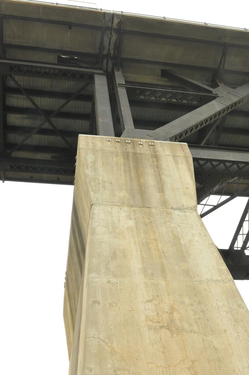
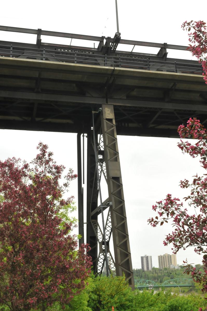
| Structure: |
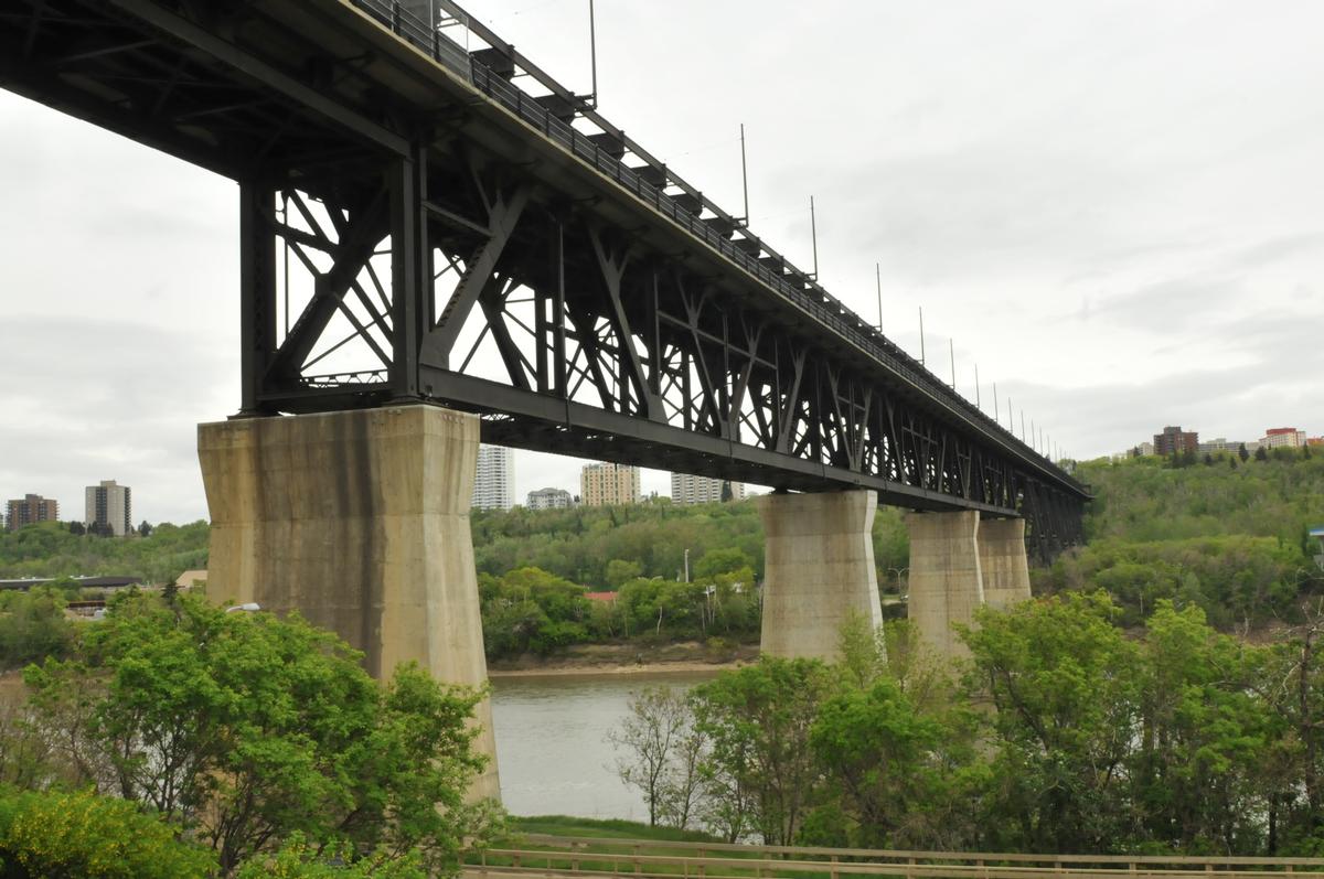
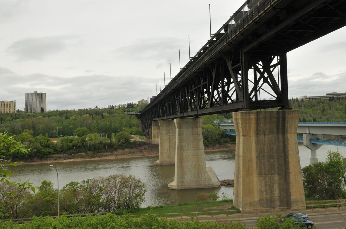
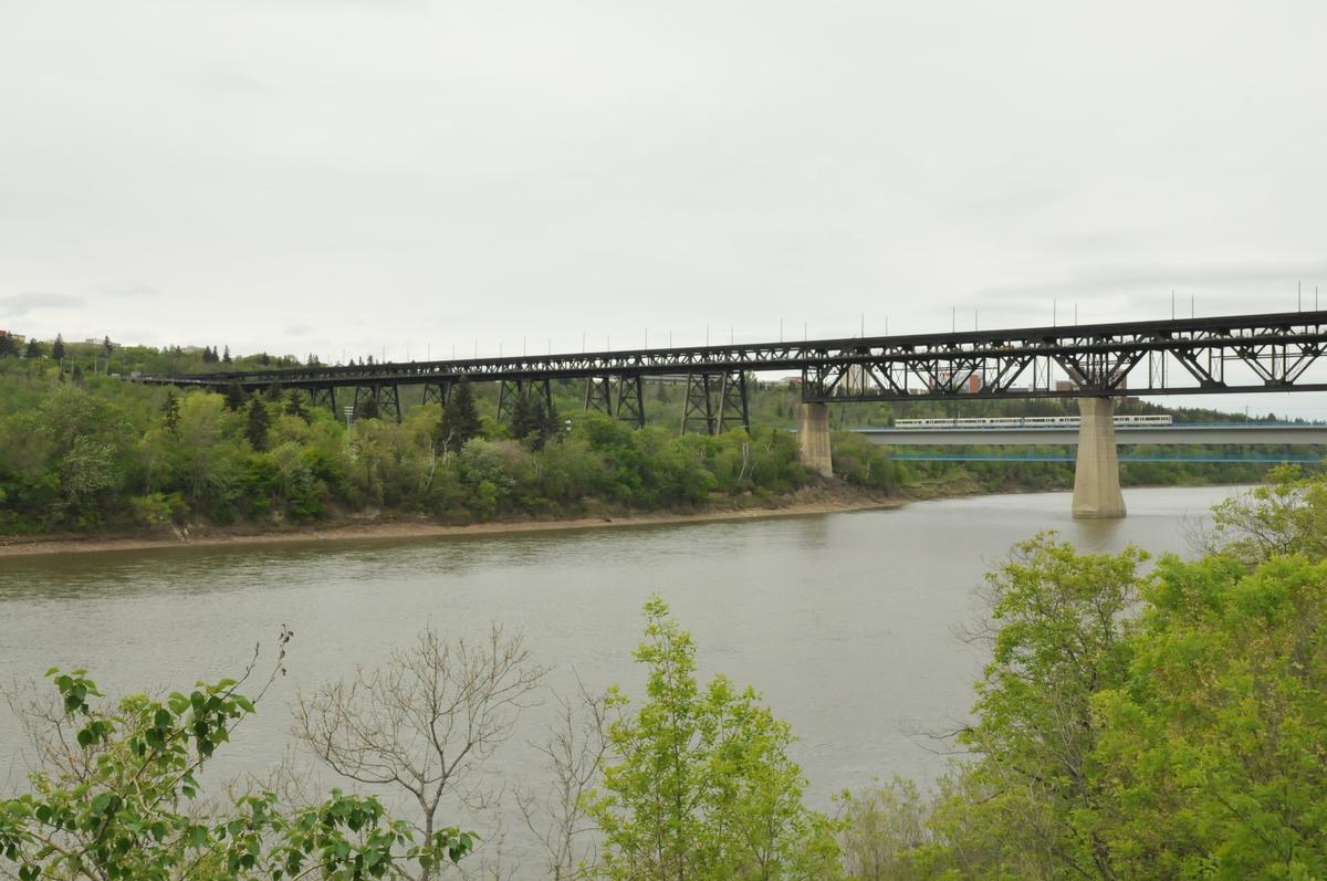
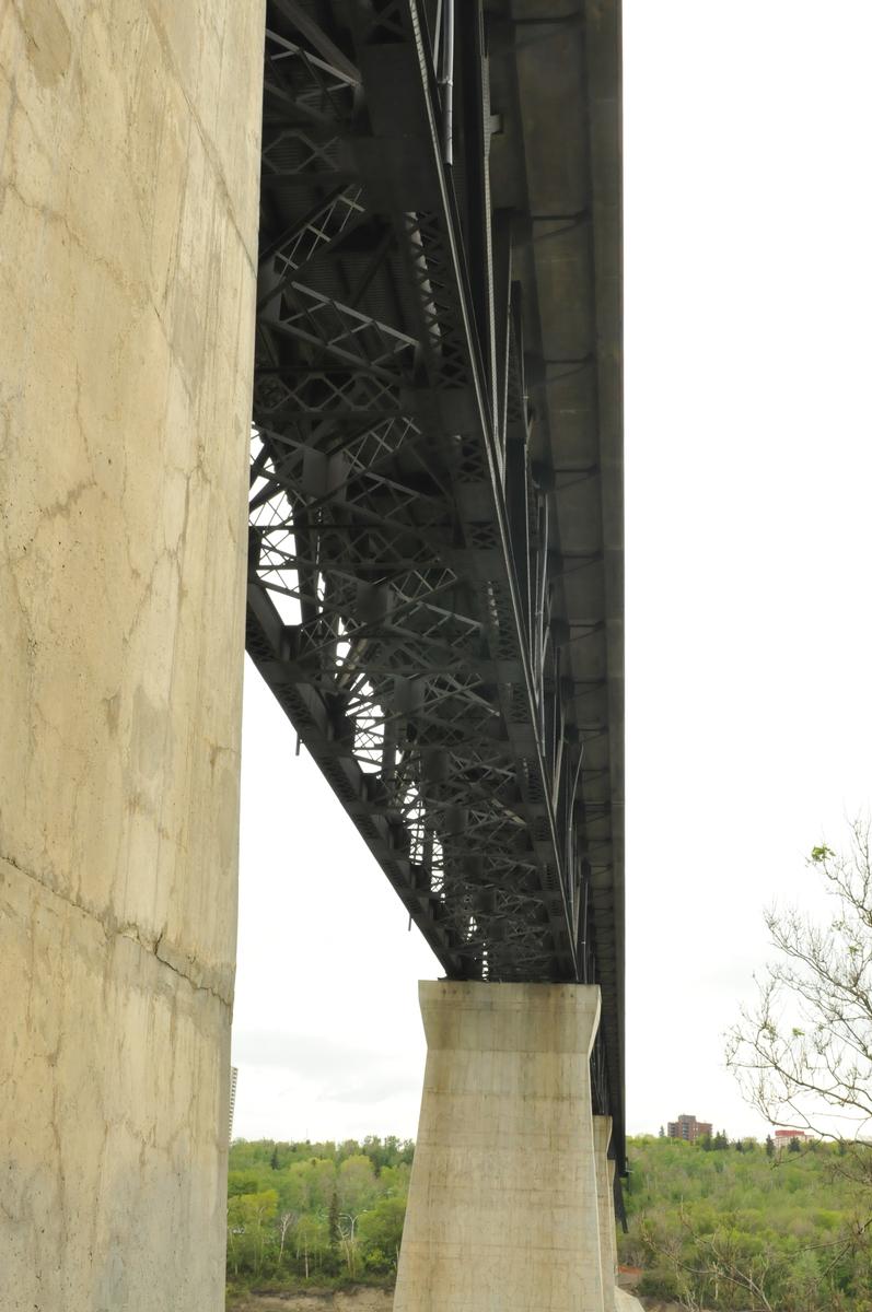
Deck truss bridge |
|---|---|
| Function / usage: |
original use: Railroad (railway) bridge original use: Tramway, light or metro rail bridge original use: Road bridge current use: Road bridge |
Location
| Location: |
Edmonton, Alberta, Canada |
|---|---|
| Crosses: |
|
| Next to: |
Dudley B. Menzies Bridge (1992)
|
| Coordinates: | 53° 31' 49" N 113° 30' 39" W |
Technical Information
Dimensions
| width | 13.11 m | |
| total length | 755.29 m | |
| height above valley floor or water | 47.85 m |
Chronology
| 11 August 1911 | Opens to street car service. |
|---|---|
| 15 June 1913 | Opens to regular train service. |
| 31 August 1913 | Opened to pedestrians. |
| 1954 | Streetcars are removed. |
| 1980s | Railroad services end. |
Notes
Currently, the rail track is used for a tourist historic streetcar line in the summer, and plans are to pedestrianize the top deck. The bridge has two lanes for road traffic on the lower deck which included Trolley bus services until the power cables were removed.
There is a manmade waterfall that is turned on for special events, spraying fresh treated water. The design was done by artist Peter Lewis.
Participants
Relevant Web Sites


- About this
data sheet - Structure-ID
20007331 - Published on:
01/01/2003 - Last updated on:
05/02/2016
Structurae cooperates with


