General Information
| Completion: | 29 June 1963 |
|---|---|
| Status: | in use |
Project Type
| Structure: |
Multi-span continuous girder bridge |
|---|---|
| Function / usage: |
Road bridge |
| Structure: |
Quadruple girder bridge |
| Support conditions: |
for registered users for registered users |
| Material: |
Steel-reinforced concrete composite bridge Structurae Plus/Pro - Subscribe Now! |
| Secondary structure(s): |
Structurae Plus/Pro - Subscribe Now! |
Location
| Location: |
Hamilton, Waikato, New Zealand |
|---|---|
| Crosses: |
|
| Coordinates: | 37° 48' 20.08" S 175° 17' 41.56" E |
Technical Information
Dimensions
| main span | 39.6 m | |
| width | 9.14 m | |
| total length | 143.26 m | |
| number of spans | 4 | |
| number of lanes | 2 | |
| abutments | number | 2 |
| deck | number of longitudinal girders | 4 |
| piers | number | 3 |
Materials
| piers |
reinforced concrete
|
|---|---|
| deck slab |
reinforced concrete
|
| abutments |
reinforced concrete
|
| girders |
steel
|
Excerpt from Wikipedia
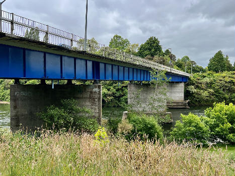
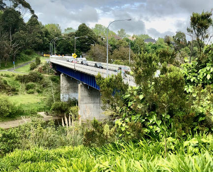
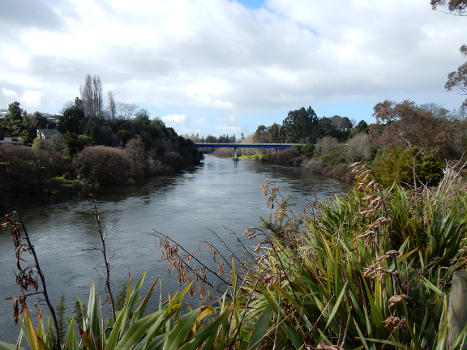
Cobham Bridge is a 143.3 m (470 ft) long girder bridge in Hamilton, New Zealand, on Cobham Drive, which is part of SH1C.
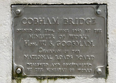
It spans the Waikato River. The Ministry of Works plaque at the southern end of the bridge says they designed it and it was opened on 29 June 1963. Its deck is 28 m (92 ft) above sea level. The river bed is 3.5 m (11 ft) above sea level.
Like the 1962 Cobham Bridge over the Whanganui River, it was opened when Lord Cobham was Governor General, though not opened by him. Mrs Adams-Schneider, Mayor Denis Rogers and Minister of Works, Stan Goosman, were at the opening.
Text imported from Wikipedia article "Cobham Bridge" and modified on November 29, 2024 according to the CC-BY-SA 4.0 International license.
Participants
Relevant Web Sites
- About this
data sheet - Structure-ID
20089820 - Published on:
28/11/2024 - Last updated on:
28/11/2024


