
General Information
| Completion: | 1959 |
|---|---|
| Status: | in use |
Project Type
| Structure: |
Gravity dam |
|---|---|
| Material: |
Concrete dam |
| Function / usage: |
Hydroelectric dam / plant |
Location
| Location: |
Concrete, Skagit County, Washington, USA |
|---|---|
| Impounds: |
|
| Coordinates: | 48° 38' 56.43" N 121° 41' 26.50" W |
Technical Information
Dimensions
| height | 95 m | |
| retained water volume | 352 000 000 m³ | |
| crest length | 370 m |
Excerpt from Wikipedia
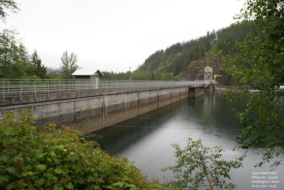
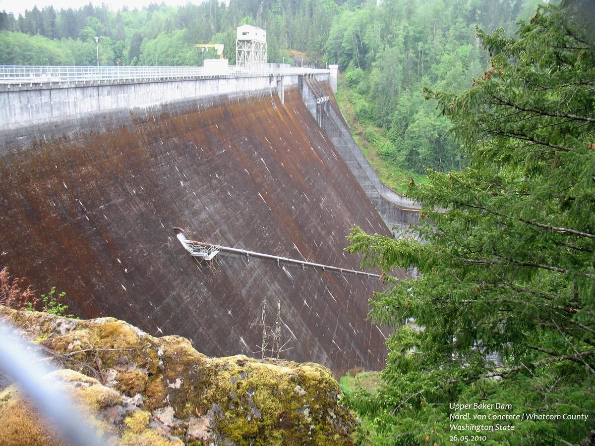
Upper Baker Dam is a dam spanning the Baker River in northern Washington in the United States of America. It is one of two dams on the river, the other one being the Lower Baker Dam a few miles downstream. The dam is used to generate hydroelectricity and provide flood control.
Construction of the dam was finished in 1959 by Puget Sound Energy as part of a power generating scheme, the Baker River Hydroelectric Project. The dam is a concrete gravity structure 312 feet (95 m) high and 1,200 feet (370 m) long, and is capable of producing 91 MW. Its reservoir stretches 9 miles (14 km) upstream and contains 285,000 acre feet (352,000,000 m³) of water.
Text imported from Wikipedia article "Upper Baker Dam" and modified on September 13, 2020 according to the CC-BY-SA 4.0 International license.
Participants
Currently there is no information available about persons or companies having participated in this project.
Relevant Web Sites

- About this
data sheet - Structure-ID
20058880 - Published on:
03/11/2010 - Last updated on:
10/09/2020


