
General Information
Project Type
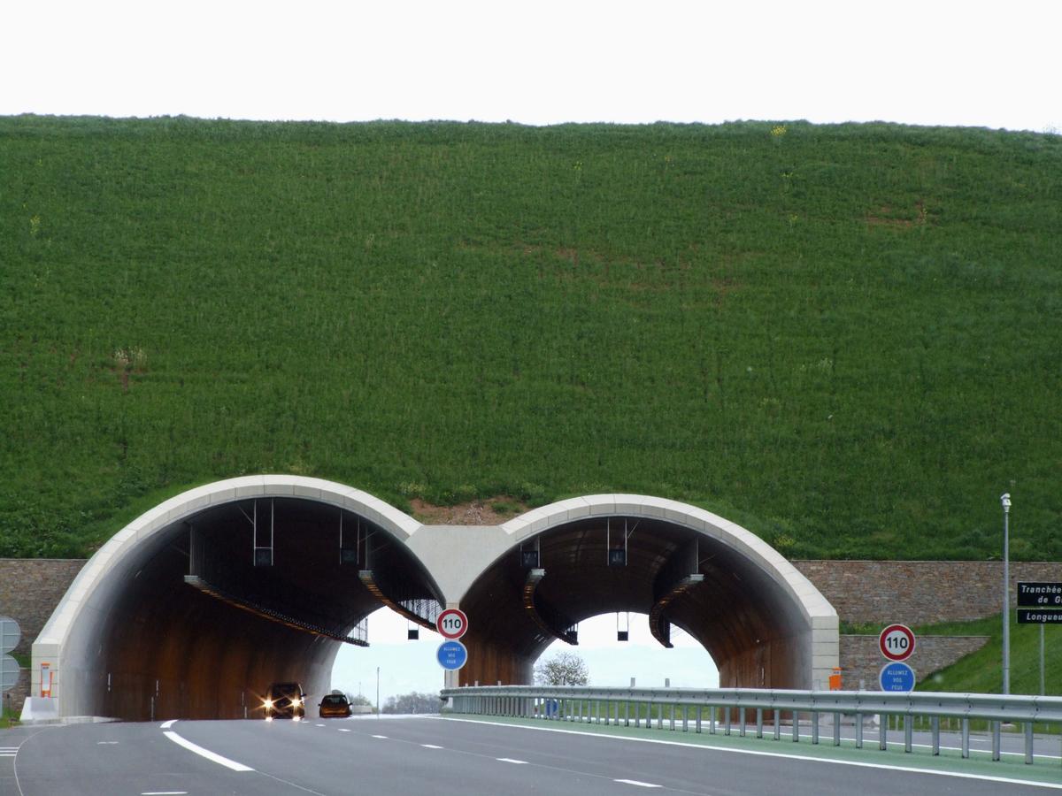
| Construction method: |
Cut-and-cover method |
|---|---|
| Function / usage: |
Road tunnel |
| Structure: |
Tunnel |
Location
| Location: |
Saint-Pantaléon-de-Larche, Corrèze (19), Nouvelle-Aquitaine, France |
|---|---|
| For: |
|
| Part of: | |
| Coordinates: | 45° 9' 53.46" N 1° 24' 57.14" E |
| Coordinates: | 45° 9' 53.79" N 1° 24' 49.38" E |
Technical Information
Dimensions
| width | 13.75 m + 14.75 m | |
| length | 169 m |
Participants
Owner
Contractor
Subcontractor

Relevant Web Sites
There currently are no relevant websites listed.
- About this
data sheet - Structure-ID
20012359 - Published on:
01/07/2004 - Last updated on:
11/01/2015
Structurae cooperates with


