General Information
| Other name(s): | Topock Bridge |
|---|---|
| Completion: | 20 February 1916 |
| Status: | in use |
Project Type
| Structure: |
Half-through arch bridge |
|---|---|
| Material: |
Steel bridge |
| Structure: |
Truss arch bridge Two-hinged arch bridge |
| Function / usage: |
original use: Road bridge current use: Pipeline bridge |
Location
| Location: |
Topock, Mohave County, Arizona, USA Needles, San Bernardino County, California, USA |
|---|---|
| Crosses: |
|
| Next to: |
Topock BNSF Rail Bridge (1945)
Topock Pipeline Bridge I (1957) |
| Replaced by: |
I-40 Topock Bridge (1966)
|
| Near: |
Red Rock Bridge (1890)
|
| Coordinates: | 34° 42' 54.66" N 114° 29' 5.36" W |
Technical Information
Dimensions
| arch span | 180.56 m |
Materials
| deck |
steel
|
|---|---|
| arch |
steel
|
Excerpt from Wikipedia
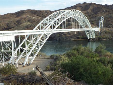
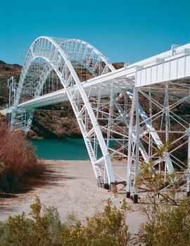
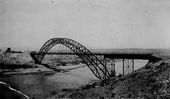
The Old Trails Bridge over the Colorado River, brought a now-abandoned portion of U.S. Route 66 across from Needles, California to Topock, Arizona. It is a brace-ribbed through arch bridge that was built in 1915-1916. It served as a highway bridge until 1947 when the Red Rock Bridge, formerly a railroad bridge, was modified for highway use. The Old Trails Bridge was later converted to a pipeline bridge.
It has also been known as Topock Bridge and as Needles Bridge. It was listed on the National Register of Historic Places in 1988.
Text imported from Wikipedia article "Old Trails Bridge" and modified on July 22, 2019 according to the CC-BY-SA 4.0 International license.
Participants
Relevant Web Sites
Relevant Publications
- (1984): Great American Bridges and Dams. A National Trust Guide. John Wiley & Sons, New York (USA), pp. 249.
- About this
data sheet - Structure-ID
20001395 - Published on:
27/03/2001 - Last updated on:
06/04/2021


