
General Information
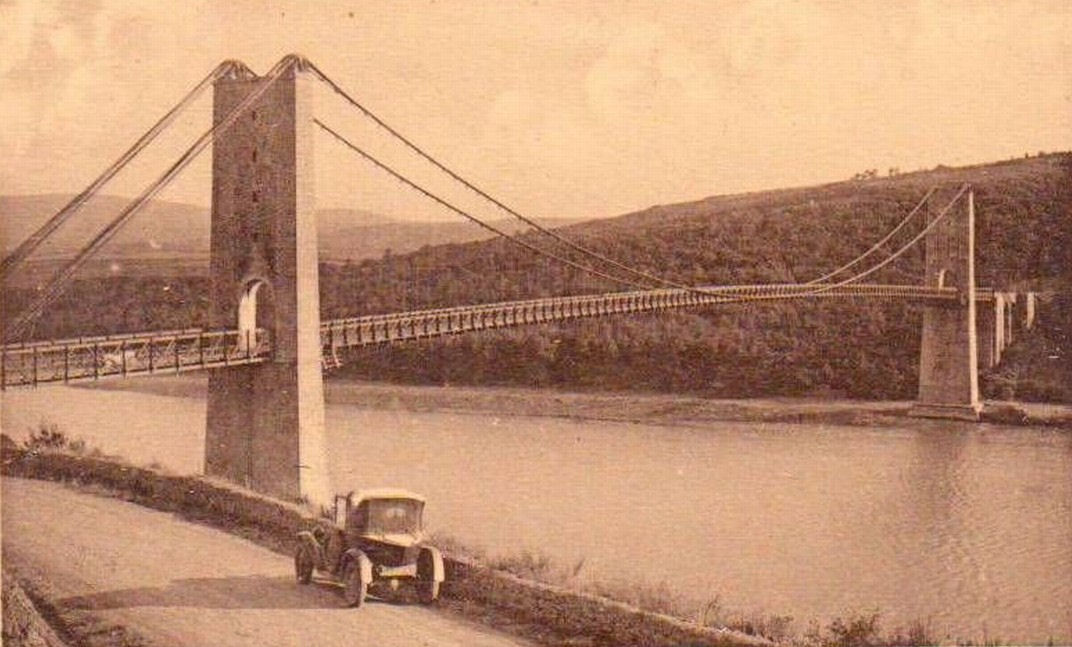
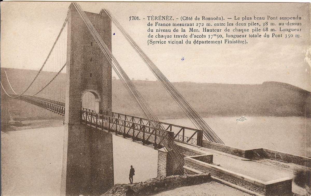
| Name in local language: | Pont de Térénez |
|---|---|
| Beginning of works: | 1913 |
| Completion: | 1925 |
| Status: | destroyed (24 August 1944) |
Project Type
| Structure: |
Suspension bridge |
|---|---|
| Function / usage: |
Road bridge |
| Material: |
Steel bridge |
| Material: |
Structurae Plus/Pro - Subscribe Now! |
Location
| Location: |
Rosnoën, Finistère (29), Bretagne, France Argol, Finistère (29), Bretagne, France |
|---|---|
| Replaced by: |
Térénez Bridge (1951)
|
| Coordinates: | 48° 16' 7.49" N 4° 15' 44.93" W |
Technical Information
Dimensions
| main span | 272 m | |
| tower height | 62 m |
Materials
| superstructure |
steel
|
|---|---|
| pylons |
masonry
|
Chronology
| 24 August 1944 | Destroyed by the German army |
|---|
Participants
Currently there is no information available about persons or companies having participated in this project.
Relevant Web Sites

Relevant Publications
- (1995): Les ponts modernes - vingtième siècle. Picard Éditeur, Paris (France), pp. 102-103.
- About this
data sheet - Structure-ID
20000495 - Published on:
14/11/1999 - Last updated on:
01/08/2020
Structurae cooperates with


