General Information
| Other name(s): | Tunnel de Schirmeck |
|---|---|
| Beginning of works: | 7 November 2003 |
| Completion: | 28 January 2007 |
| Status: | in use |
Project Type
| Structure: |
Tunnel |
|---|---|
| Function / usage: |
Road tunnel |
| Construction method: |
Drilling and blasting |
Location
| Location: |
Schirmeck, Bas-Rhin (67), Grand-Est, France |
|---|---|
| Coordinates: | 48° 28' 39" N 7° 13' 12.58" E |
| Coordinates: | 48° 28' 18.72" N 7° 13' 5.94" E |
Technical Information
Dimensions
| clearance | 4.30 m | |
| horizontal radius of curvature | 900 m | |
| tunnel length | 610 m | |
| tunnel section area | 95 m² | |
| length of bored tunnels | 529 m | |
| number of lanes | 2 | |
| roadway / carriageway width | 9.00 m | |
| security tunnel | length | 150 m |
| tunnel section area | 9 m² |
Materials
| tunnel |
reinforced concrete
(B 35)
|
|---|
Chronology
| 7 November 2003 | Beginning of construction. |
|---|
Notes
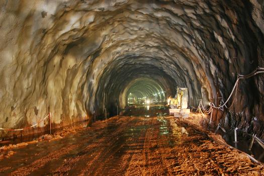
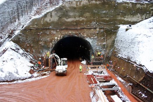
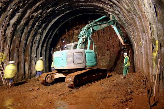
The tunnel is located on the ring road around Schirmeck, part of the RN 420 connection Strasbourg and Saint-Dié.
Participants
Owner
Client
Main contractor
Co-contractor
Relevant Web Sites
There currently are no relevant websites listed.
Relevant Publications
- (2005): Le tunnel de la déviation de Schirmeck dans le massif vosgien. In: Travaux, n. 822 (September 2005), pp. 46-50.
- (2005): Tunnel de Schirmeck, percement sous hautes contraintes. In: Chantiers de France, n. 378 (March 2005), pp. 24-25.
- About this
data sheet - Structure-ID
20011569 - Published on:
12/03/2004 - Last updated on:
28/05/2021

