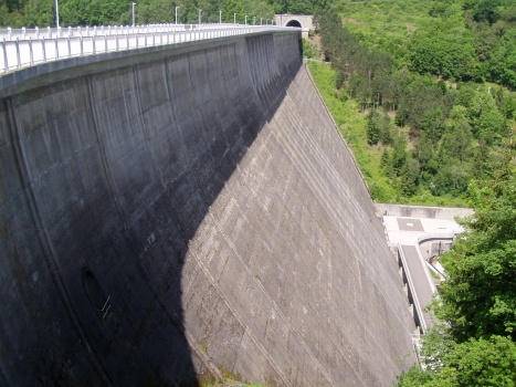
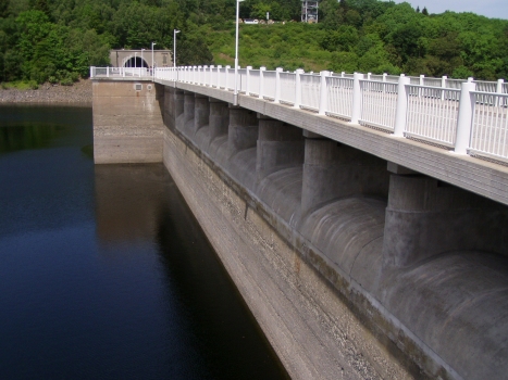
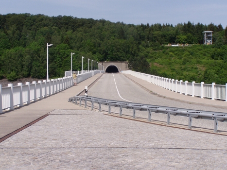
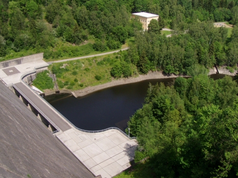
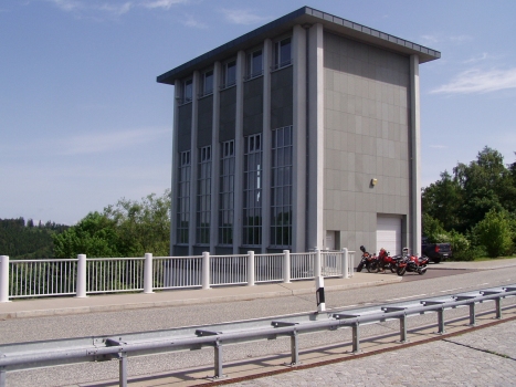
General Information
| Other name(s): | Rappbodetalsperre |
|---|---|
| Beginning of works: | 1 September 1938 |
| Completion: | 1959 |
| Status: | in use |
Project Type
| Structure: |
Gravity dam |
|---|---|
| Function / usage: |
Hydroelectric dam / plant Fresh water dam Flood-control dam |
| Material: |
Concrete dam |
Location
| Location: |
Altenbrak, Thale, Harz, Saxony-Anhalt, Germany |
|---|---|
| Next to: |
TitanRT (2017)
|
| See also: |
Hassel Dam (1960)
Rappbode Predam (1961) |
| Coordinates: | 51° 44' 24.08" N 10° 53' 35.14" E |
Technical Information
Dimensions
| height | 106.00 m | |
| retained water volume | 109 800 000 m³ |
Quantities
| concrete volume | 860 000 m³ |
Materials
| dam structure |
concrete
|
|---|
Chronology
| 1938 | Preparation of the construction site. |
|---|---|
| 1942 | All construction works on dams in the area are stopped during WWII. |
| 1 September 1952 | Ceremony for the laying of the first stone. |
Participants
Currently there is no information available about persons or companies having participated in this project.
Relevant Web Sites
Relevant Publications
- (2000): Außergewöhnliche Wasserbauwerke im Osten Deutschlands (1945-1980) (Teil 3). Teil 3: Das Talsperrensystem des Bodewerks im Harz. In: Bautechnik, v. 77, n. 1 (January 2000), pp. 75-84.
- (2018): Das Messsystem der Rappbodetalsperre 15 Jahre nach Abschluss seiner Sanierung. In: Wasserwirtschaft, v. 108, n. 6 (June 2018), pp. 95-97.
- : The Rappbode dam's measuring system 15 years after rehabilitation was completed. In: Wasserwirtschaft, n. 2018, pp. 92-94.
- About this
data sheet - Structure-ID
20002524 - Published on:
15/12/2001 - Last updated on:
12/04/2016

