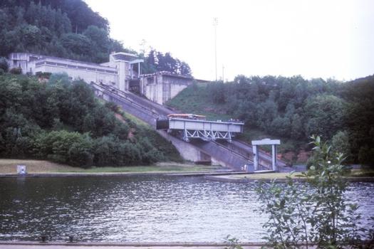
General Information
| Completion: | 1969 |
|---|---|
| Status: | in use |
Project Type
| Structure: |
Trough / U-shaped retaining structure |
|---|---|
| Function / usage: |
Lift lock |
Location
| Location: |
Arzviller, Moselle (57), Grand-Est, France Saint-Louis, Moselle (57), Grand-Est, France |
|---|---|
| Part of: | |
| Coordinates: | 48° 42' 57.23" N 7° 13' 5.72" E |
Technical Information
Dimensions
| height difference | 44.55 m | |
| slope of channel | 41 % |
Participants
Currently there is no information available about persons or companies having participated in this project.
Relevant Web Sites
Relevant Publications
- La France au fil de l'eau. Guides Gallimard, Paris (France), 1996, pp. 272.
- Le "plan incliné transversal" de Saint-Louis-Arzviller (France). In: La Technique des Travaux, v. 45, n. 1-2 (January 1969), pp. 43-46.
- (2004): Les voies navigables en Lorraine. Editions Serpenoise, Metz (France), pp. 190.
- About this
data sheet - Structure-ID
20011528 - Published on:
08/03/2004 - Last updated on:
28/05/2021


