
General Information
Project Type
| Function / usage: |
Flood-control dam Fresh water dam Hydroelectric dam / plant |
|---|---|
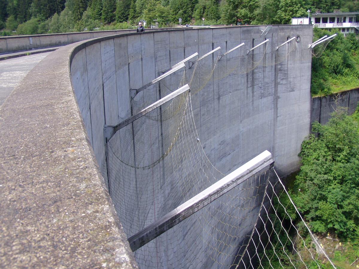
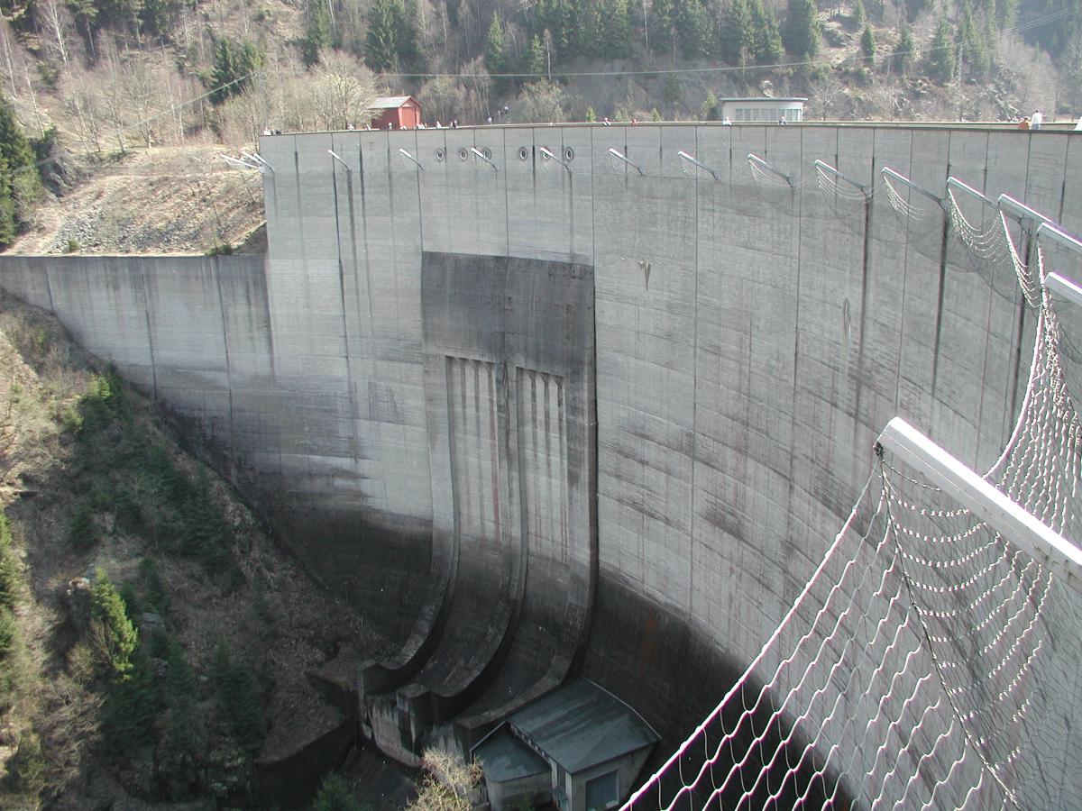
| Structure: |
Curved gravity dam |
Location
| Location: |
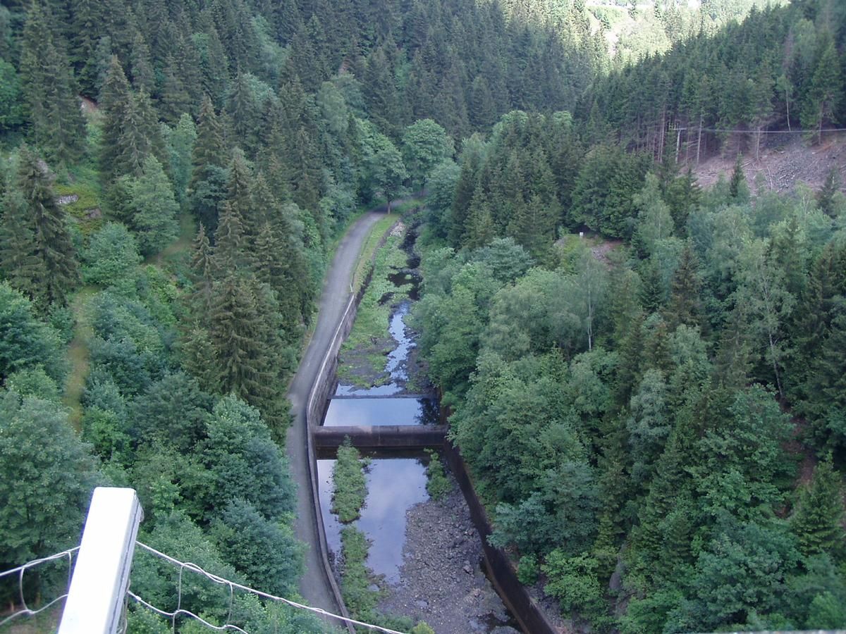
Schulenberg im Oberharz, Goslar (Kreis), Lower Saxony, Germany |
|---|---|
| Impounds: |
|
| Connects to: |
Grane Dam (1969)
|
| Coordinates: | 51° 51' 3.40" N 10° 27' 30.51" E |
Technical Information
Dimensions
| height | 75.00 m | |
| retained water volume | 47 000 000 m³ | |
| crest length | 260 m |
Participants
Currently there is no information available about persons or companies having participated in this project.
Relevant Web Sites

- About this
data sheet - Structure-ID
20020775 - Published on:
21/04/2006 - Last updated on:
27/11/2018
Structurae cooperates with


