
General Information
Project Type
| Structure: |
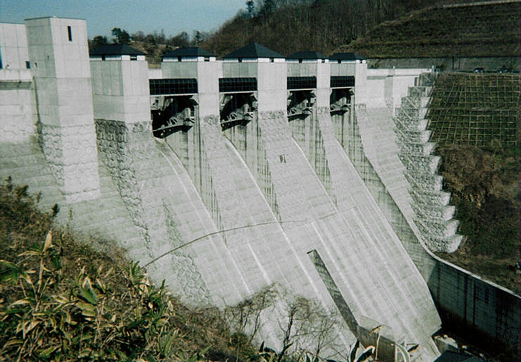
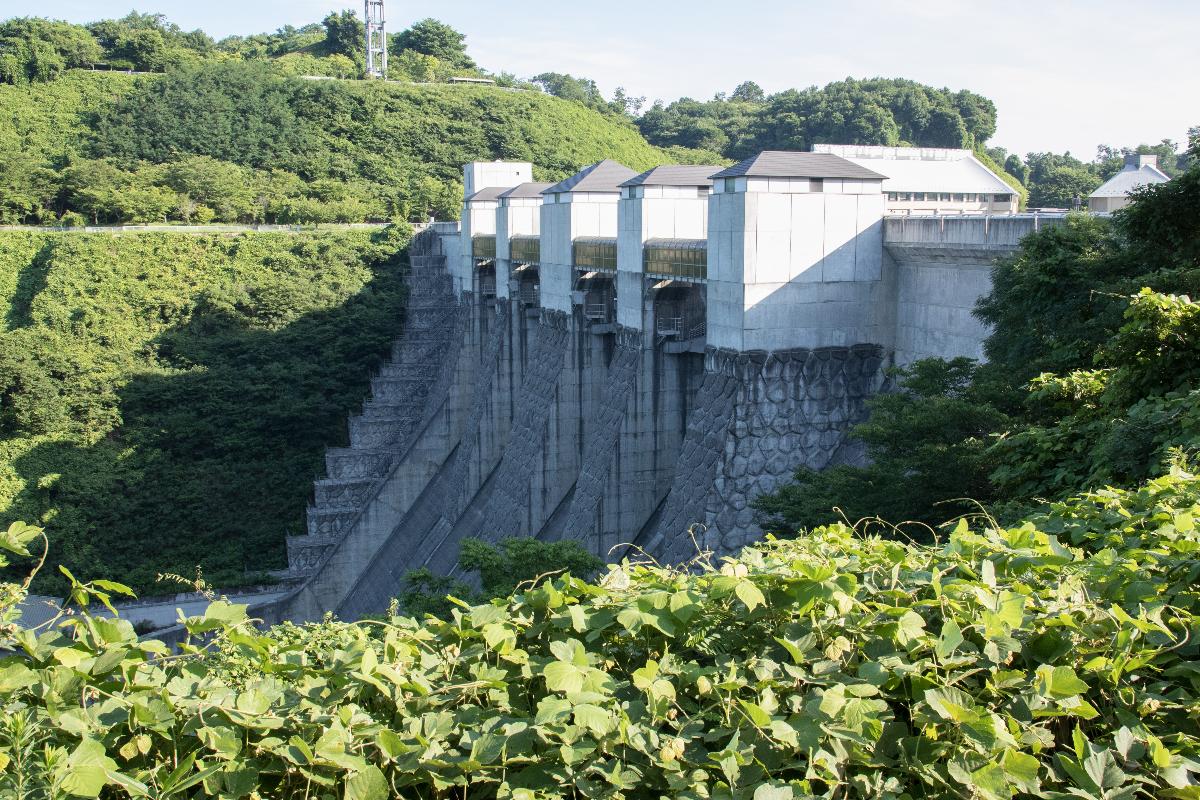
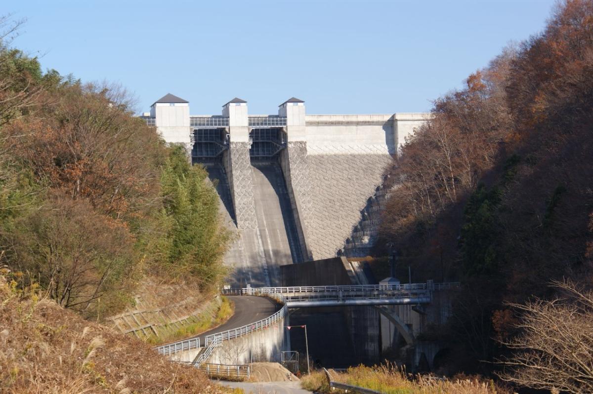
Gravity dam |
|---|---|
| Function / usage: |
Flood-control dam Fresh water dam |
| Material: |
Concrete dam |
| Function / usage: |
Irrigation & industrial water dam |
Location
Technical Information
Dimensions
| height | 65 m | |
| retained water volume | 42 800 000 m³ | |
| crest length | 174 m | |
| dam volume | 195 000 m³ |
Excerpt from Wikipedia
Miharu Dam (三春ダム) is a concrete gravity dam on the Ōtakine River, a branch of the Abukuma River in the town of Miharu, Fukushima in the Tōhoku region of Japan. The dam was completed in 1997.
Geography
The Miharu Dam is a multipurpose dam directly controlled by the Japanese Ministry of Land, Infrastructure, Transport and Tourism. It is aimed at flood control on the middle reaches of the Abukuma River and to provide a content source of water for central Fukushima Prefecture, including the city of Koriyama. It was initially called Ōtakine Dam, but was renamed Miharu Dam at the request of the local inhabitants. Also, in consideration of the landscape, the dam body was decorated like a stone wall, reflecting Miharu's status as a castle town. The reservoir created by the dam is called Lake Sakura, and has become a local tourist destination. There is a museum (Miharu Dam Museum} located next to the dam.
Text imported from Wikipedia article "Miharu Dam" and modified on July 23, 2019 according to the CC-BY-SA 4.0 International license.
Participants
Currently there is no information available about persons or companies having participated in this project.
Relevant Web Sites

Relevant Publications
- (2019): Reasons of expansion for Sicyos angukatus at lower than normal water levels along the Miharu dam reservoir shoreline and possibility of prevention.. In: Ecology and Civil Engineering, v. 21, n. 2 (January 2019), pp. 159-170.
- (2017): 三春ダムにおける付着藻類の剥離に効果的なフラッシュ放流のタイミングの検討事例 (A consideration of timing of flushing flow effective to promote detachment of attached algae in the Miharu Dam). In: Ecology and Civil Engineering, v. 19, n. 2 ( 2017), pp. 203-210.
- About this
data sheet - Structure-ID
20041472 - Published on:
18/12/2008 - Last updated on:
07/08/2023


