
General Information
| Other name(s): | Middle Dnieper Hydroelectric Power Plant |
|---|---|
| Beginning of works: | 1956 |
| Completion: | 1963 |
| Status: | in use |
Project Type
| Function / usage: |
Run-of-the-river hydroelectric dam |
|---|---|
| Structure: |
Earthfill dam Gravity dam |
| Function / usage: |
Causeway (rail) Causeway (road) |
Location
| Location: |
Kamianske, Dnipropetrovsk Oblast, Ukraine |
|---|---|
| Impounds: |
|
| See also: |
Dniprodzerzhynsk Lock (1956)
|
| Coordinates: | 48° 32' 59.49" N 34° 32' 30.15" E |
Technical Information
Dimensions
| height | 15.5 m | |
| crest length | 7 490 m | |
| reservoir capacity | 2 450 000 000 m² | |
| capacity for electric power generation | 352 MW | |
| water surface area | 567 km² | |
| annual power generation | 1 400 GWh |
Excerpt from Wikipedia
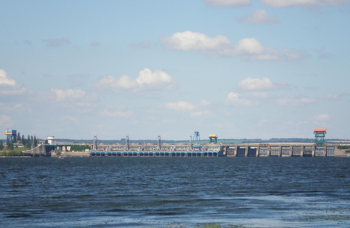
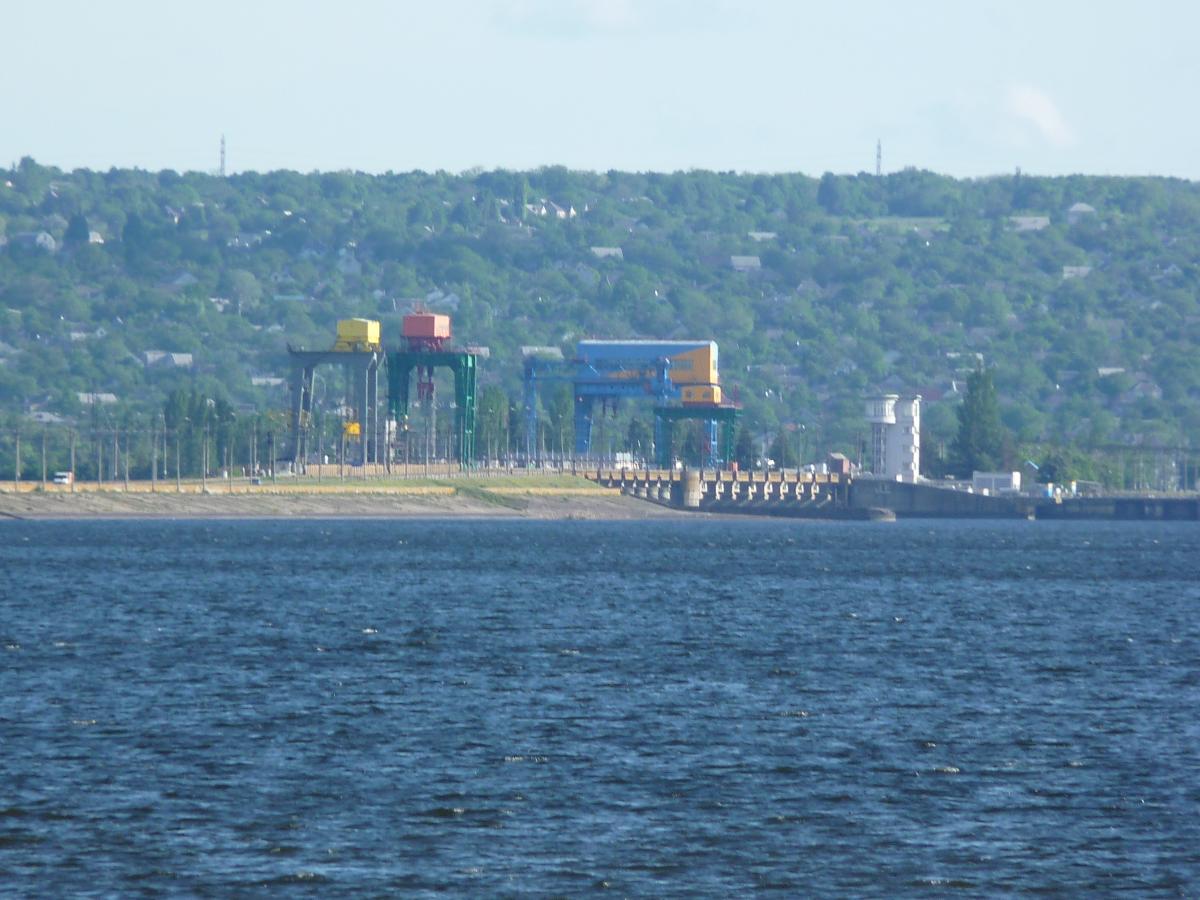
The Middle Dnieper Hydroelectric Station is a run-of-river power plant on the Dnieper River in Kamianske, Ukraine. (On 19 May 2016 the Ukrainian parliament voted to rename the city of Dniprodzerzhynsk into Kamianske to comply with decommunization laws.) The primary purpose of the dam is hydroelectric power generation and navigation. It is the fourth dam in the Dnieper cascade. The dam has an associated lock and a power station with an installed capacity of 352 MW. Construction on the dam began in 1956 and the last generator was commissioned in 1964. It is operated by Ukrhydroenergo.
Text imported from Wikipedia article "Middle Dnieper Hydroelectric Station" and modified on April 4, 2022 according to the CC-BY-SA 4.0 International license.
Participants
Currently there is no information available about persons or companies having participated in this project.
Relevant Web Sites

- About this
data sheet - Structure-ID
20082614 - Published on:
23/03/2022 - Last updated on:
25/03/2022


