General Information
| Completion: | 17 August 2009 |
|---|---|
| Status: | in use |
Project Type
| Function / usage: |
Below grade metro or light-rail station |
|---|---|
| Structure: |
Underground structure |
Location
| Location: |
Vancouver, British Columbia, Canada |
|---|---|
| Part of: | |
| Coordinates: | 49° 13' 34.69" N 123° 6' 57.92" W |
Technical Information
Dimensions
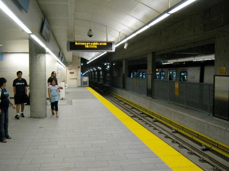
| number of tracks | 2 | |
| track gauge | 1 435 mm |
Excerpt from Wikipedia
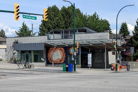
Langara–49th Avenue is an underground station on the Canada Line of Metro Vancouver's SkyTrain rapid transit system. It is located at the intersection of West 49th Avenue and Cambie Street in Vancouver, British Columbia, Canada. The station serves the southern portion of the Oakridge neighbourhood, primarily the Langara community that surrounds the station, and is within walking distance of Langara College and the Langara Golf Course.
History
Langara–49th Avenue station was opened in 2009 along with the rest of the Canada Line and was designed by the architecture firm VIA Architecture. The station is named for nearby 49th Avenue and the Langara community, which in turn is named after the Spanish admiral Juan de Lángara.
Services
Passengers exiting from this station are able to transfer to the #15 bus, which provides local surface service on Cambie Street, and the #49 bus, which travels east to Metrotown station and west to the University of British Columbia.
Station information
Entrances
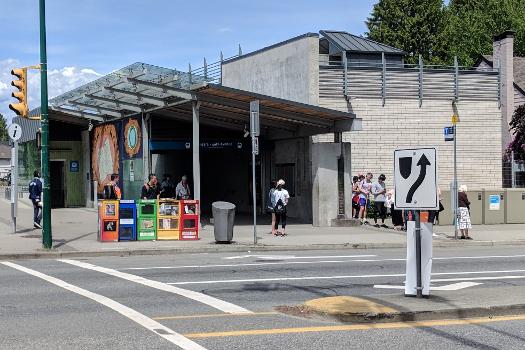
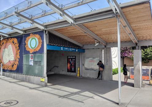
Langara–49th Avenue station is served by a single entrance located at the northeast corner of Cambie Street and 49th Avenue.
Text imported from Wikipedia article "Langara–49th Avenue station" and modified on November 8, 2024 according to the CC-BY-SA 4.0 International license.
Participants
Currently there is no information available about persons or companies having participated in this project.
Relevant Web Sites
- About this
data sheet - Structure-ID
20057809 - Published on:
16/08/2010 - Last updated on:
05/05/2024


