General Information
| Completion: | 1914 |
|---|---|
| Status: | in use |
Project Type
| Function / usage: |
Road bridge |
|---|---|
| Structure: |
Girder bridge |
| Material: |
Reinforced concrete bridge |
Location
| Location: |
Multnomah County, Oregon, USA |
|---|---|
| Part of: | |
| Encircles: |
Crown Point Vista House (1918)
|
| Coordinates: | 45° 32' 23.42" N 122° 14' 38.84" W |
Technical Information
Materials
| deck |
reinforced concrete
|
|---|
Notes
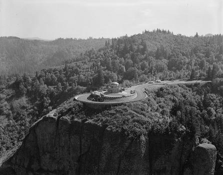
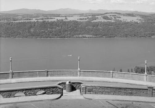
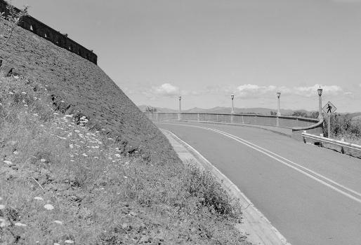
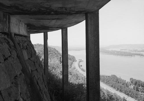
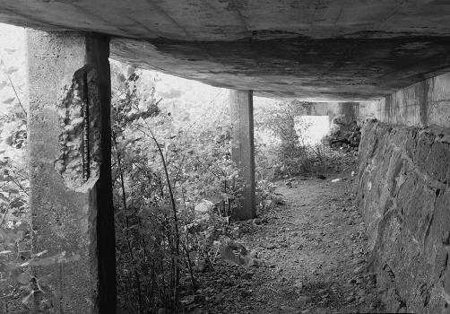
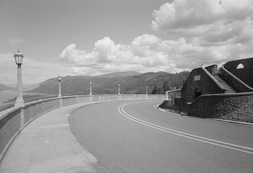
A half-viaduct designed to carry pedestrians around the outer edge of a spiral section of roadway around the top of a 725 foot promontory on the historic Columbia River Highway. Ingenious use of reinforced-concrete and rubble masonry to create an aesthetically-pleasing structure [Robert W. Hadlow, HAER]
Participants
Relevant Web Sites
- About this
data sheet - Structure-ID
20017462 - Published on:
21/08/2005 - Last updated on:
05/02/2016

