
General Information
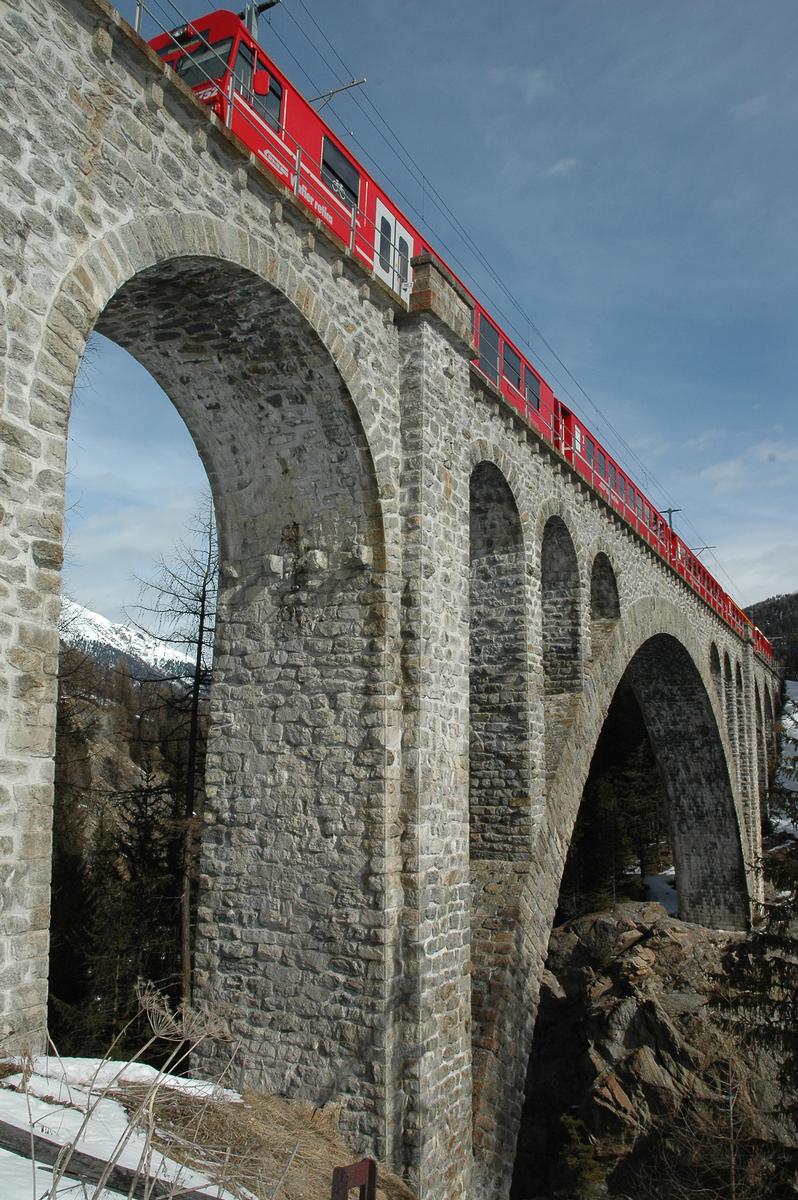
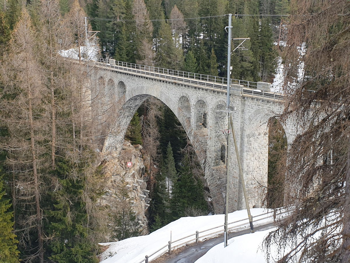
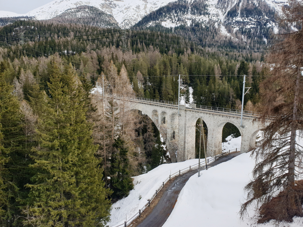
| Name in local language: | Innviadukt Cinuos-chel |
|---|---|
| Completion: | 1911 |
| Status: | in use |
Project Type
| Structure: |
Vaulted arch bridge |
|---|---|
| Function / usage: |
Railroad (railway) bridge |
| Material: |
Masonry bridge |
| Structure: |
Deck arch bridge |
| Plan view: |
Structurae Plus/Pro - Subscribe Now! |
| Material: |
Structurae Plus/Pro - Subscribe Now! |
Location
| Location: |
Cinuos-chel, S-chanf, Grisons, Switzerland |
|---|---|
| Crosses: |
|
| Coordinates: | 46° 38' 43.10" N 10° 1' 31.65" E |
Technical Information
Dimensions
| main span | 48 m | |
| total length | 113 m | |
| height above valley floor or water | 49 m | |
| number of tracks | 1 | |
| track gauge | 1 000 mm |
Materials
| piers |
masonry
|
|---|---|
| arches |
masonry
|
| abutments |
masonry
|
Participants
Owner
Relevant Web Sites
There currently are no relevant websites listed.
Relevant Publications
- (1994): Brücken / Bridges. Ästhetik und Gestaltung / Aesthetics and Design. 4th edition, Deutsche Verlags-Anstalt, Stuttgart (Germany), pp. 90.
- (1996): Eisenbahnbrücken. Schweiz-Deutschland-Österreich. transpress, Stuttgart (Germany), pp. 14.
- About this
data sheet - Structure-ID
20000642 - Published on:
25/03/2000 - Last updated on:
02/06/2024
Structurae cooperates with


