
General Information
| Completion: | 24 March 1934 |
|---|---|
| Status: | in use |
Project Type
| Function / usage: |
Below grade metro or light-rail station |
|---|---|
| Structure: |
Underground structure |
Location
| Location: |
Vincennes, Val-de-Marne (94), Ile-de-France, France Paris (12th), Paris, Ile-de-France, France |
|---|---|
| Part of: | |
| Coordinates: | 48° 50' 40.50" N 2° 26' 19.51" E |
Technical Information
There currently is no technical data available.
Excerpt from Wikipedia
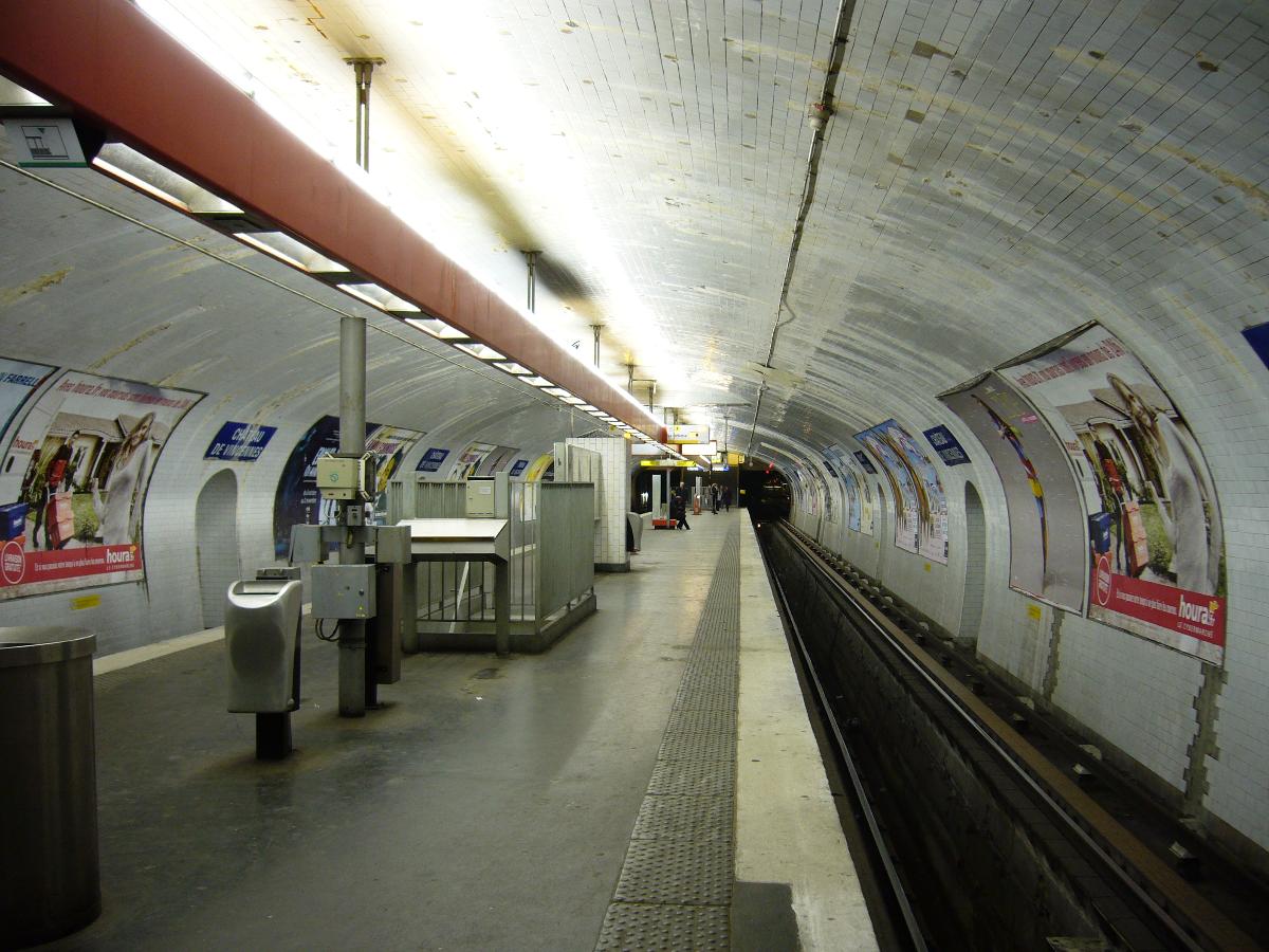
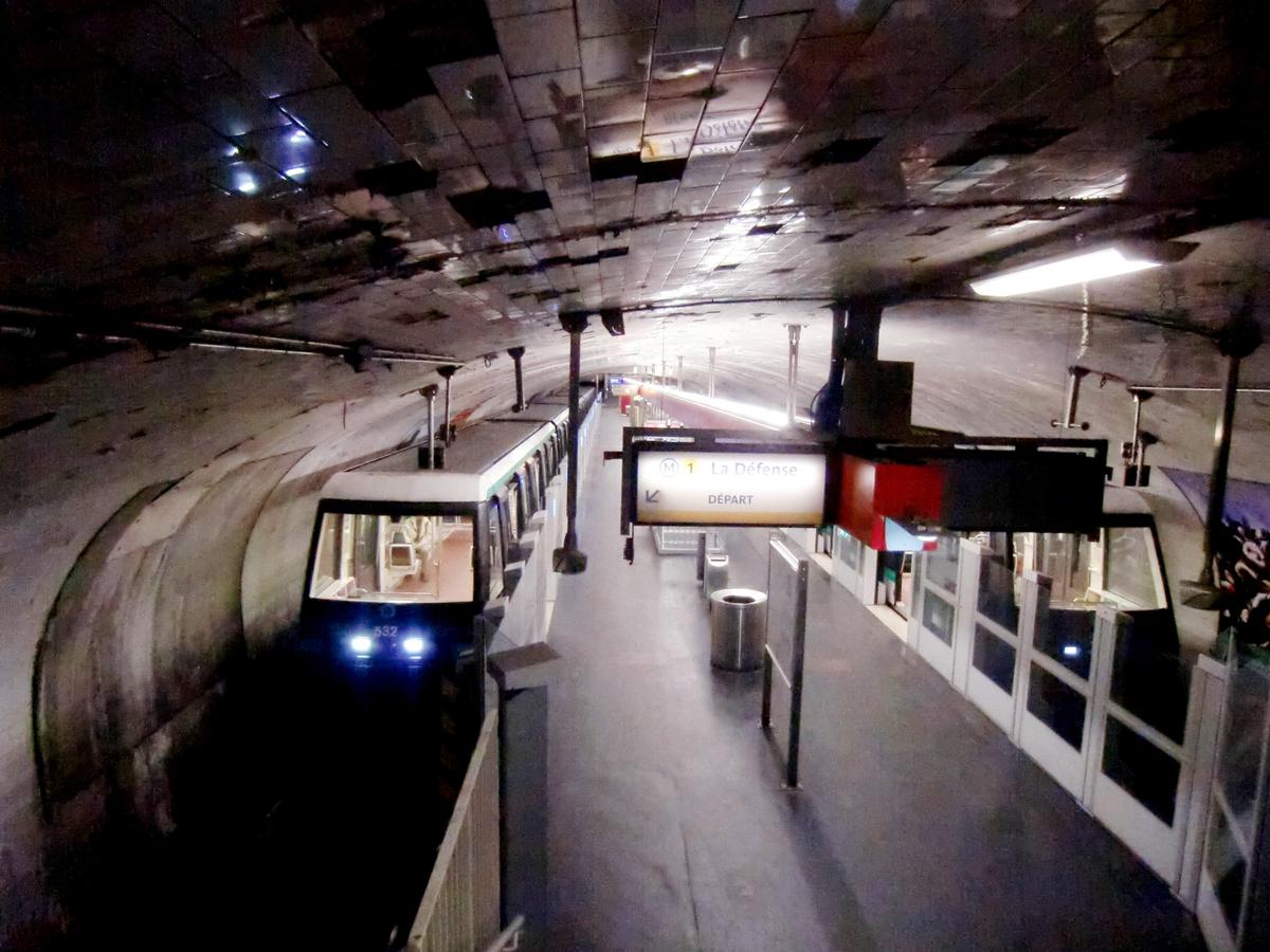
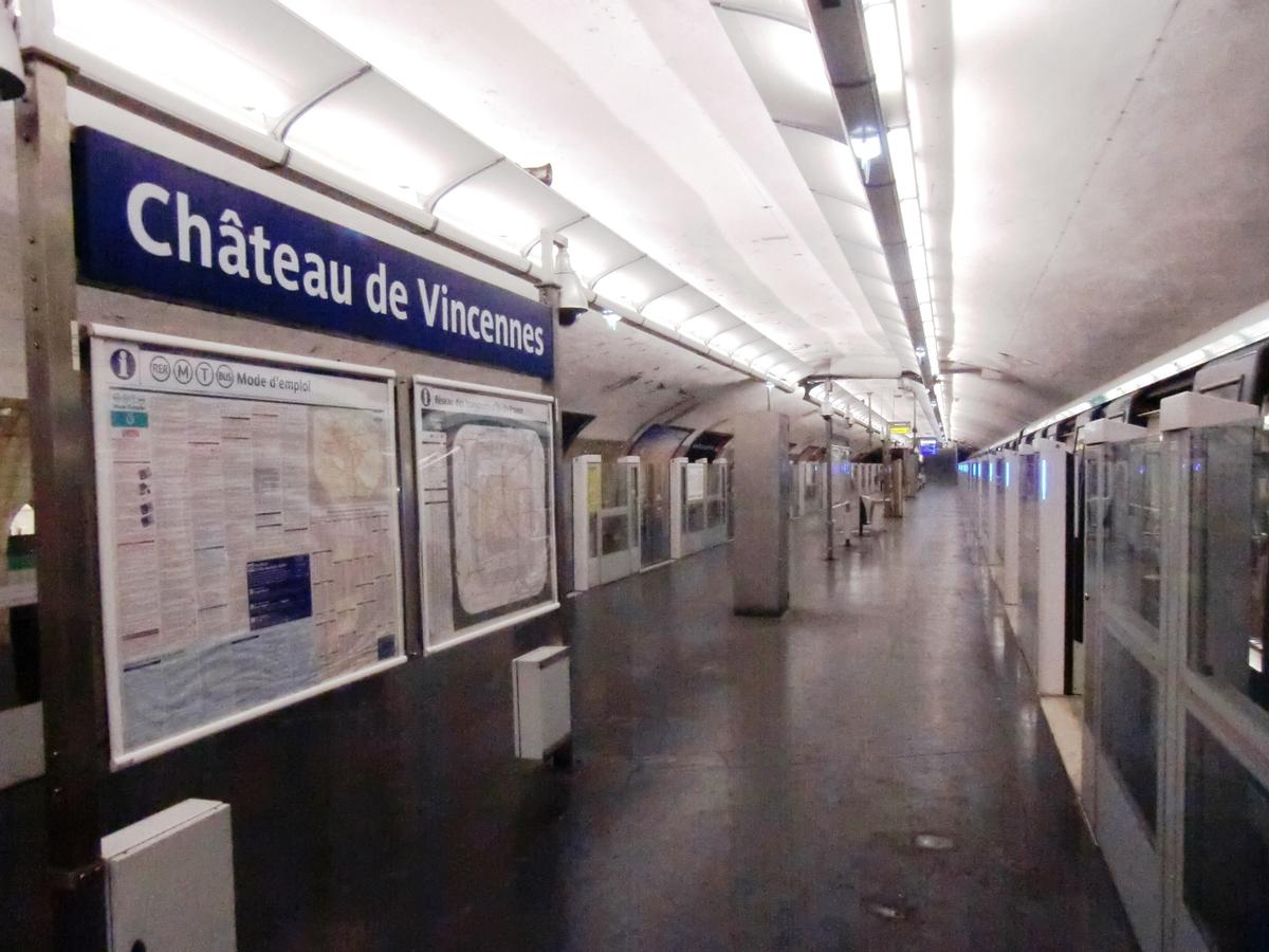
Château de Vincennes is a station of the Paris Métro. It is the eastern terminus of line 1 and serves the Château de Vincennes. It lies on the border between the commune of Vincennes and the Bois de Vincennes, which is part of the 12th arrondissement of Paris.
Text imported from Wikipedia article "Château de Vincennes (Paris Métro)" and modified on July 23, 2019 according to the CC-BY-SA 4.0 International license.
Participants
Currently there is no information available about persons or companies having participated in this project.
Relevant Web Sites

- About this
data sheet - Structure-ID
20051501 - Published on:
08/01/2010 - Last updated on:
16/11/2018
Structurae cooperates with


