
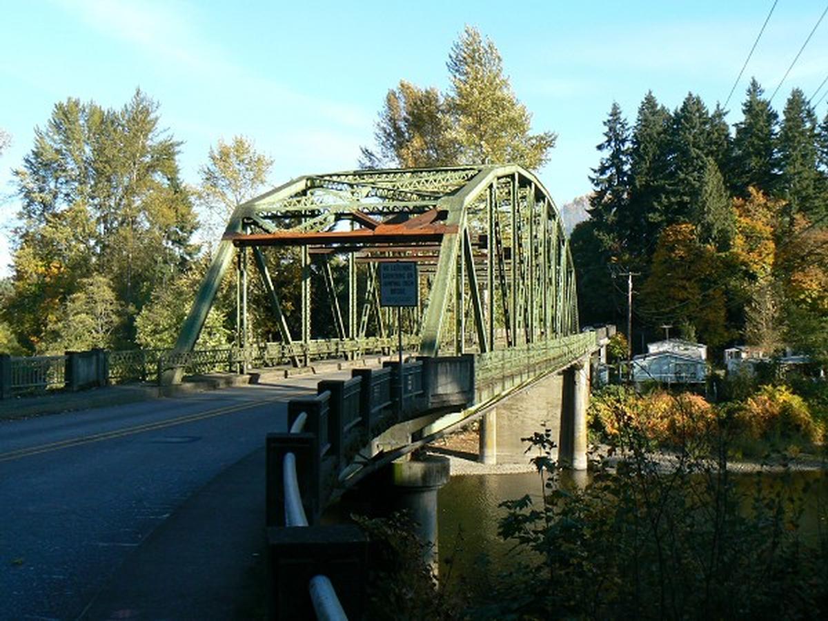
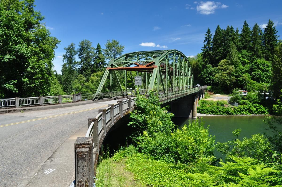
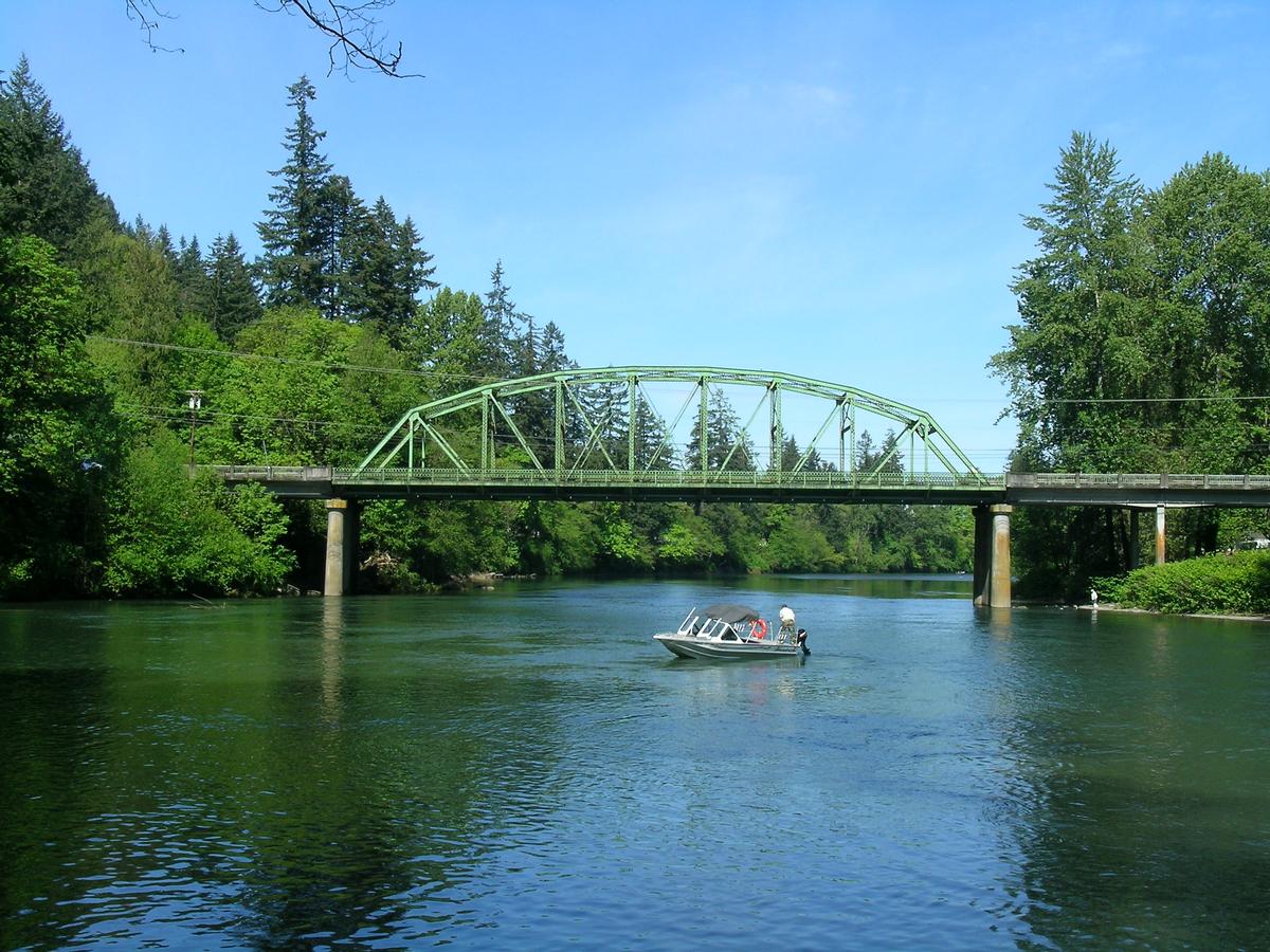
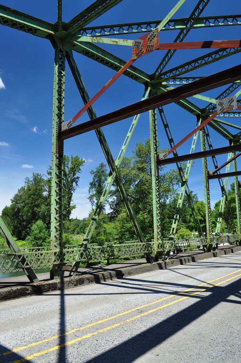
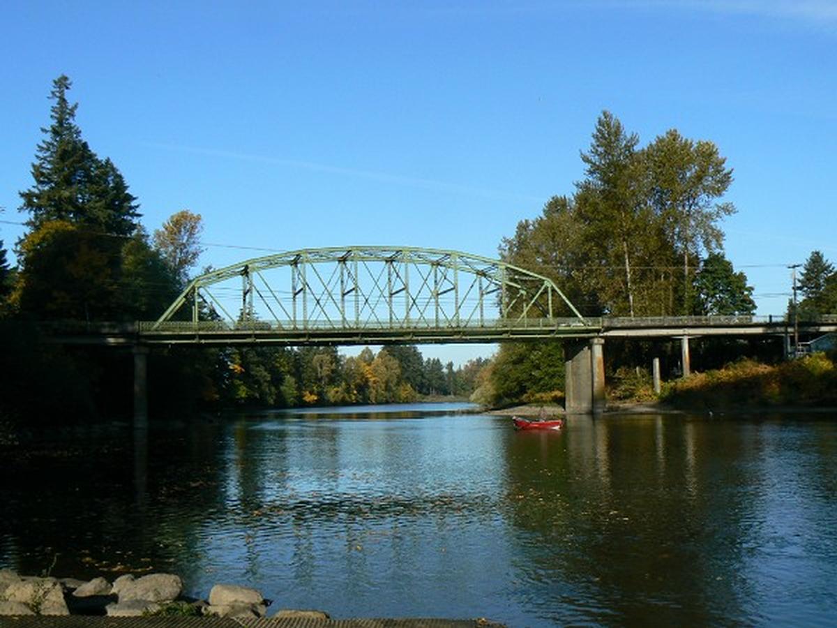
General Information
| Completion: | 1930 |
|---|---|
| Status: | demolished (2013) |
Project Type
| Function / usage: |
Road bridge |
|---|---|
| Structure: |
Through truss bridge |
| Material: |
Steel bridge |
| Structure: |
Parker type truss bridge |
| Material: |
Structurae Plus/Pro - Subscribe Now! |
Location
| Location: |
Carver, Clackamas County, Oregon, USA |
|---|---|
| Crosses: |
|
| Coordinates: | 45° 23' 34.24" N 122° 29' 50.34" W |
Technical Information
Dimensions
| length | 156.4 m | |
| number of spans | 8 | |
| roadway / carriageway width | 7 m |
Participants

Relevant Web Sites
There currently are no relevant websites listed.
- About this
data sheet - Structure-ID
20033011 - Published on:
03/11/2007 - Last updated on:
08/10/2020
Structurae cooperates with


