
General Information
| Completion: | 2014 |
|---|---|
| Status: | in use |
Project Type
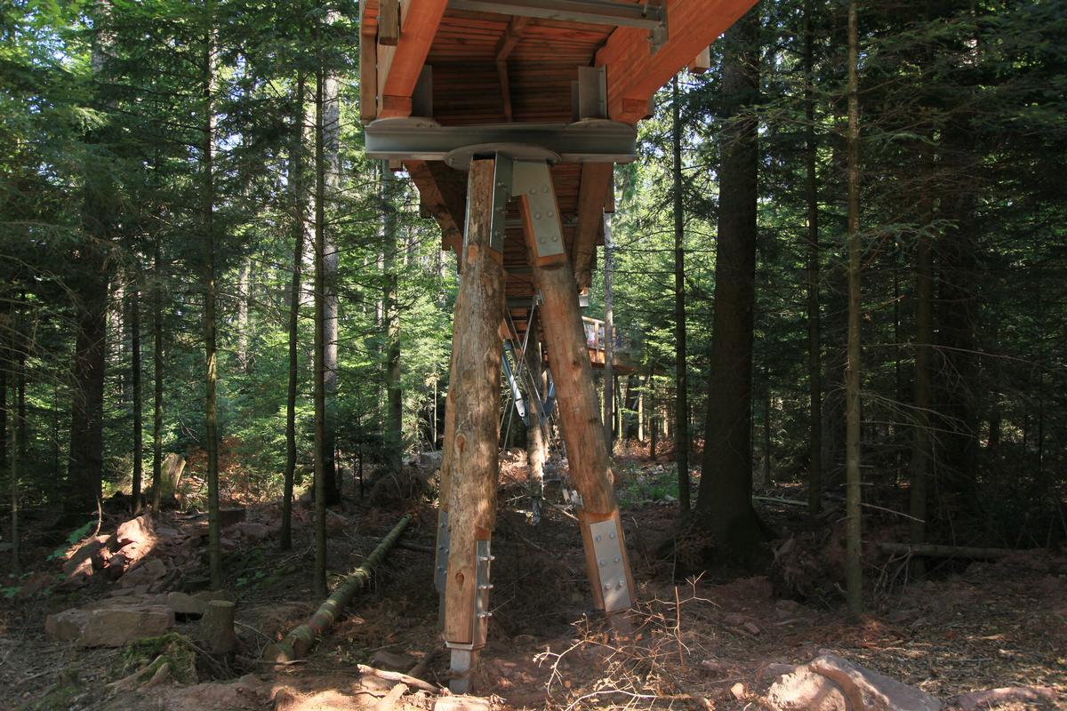
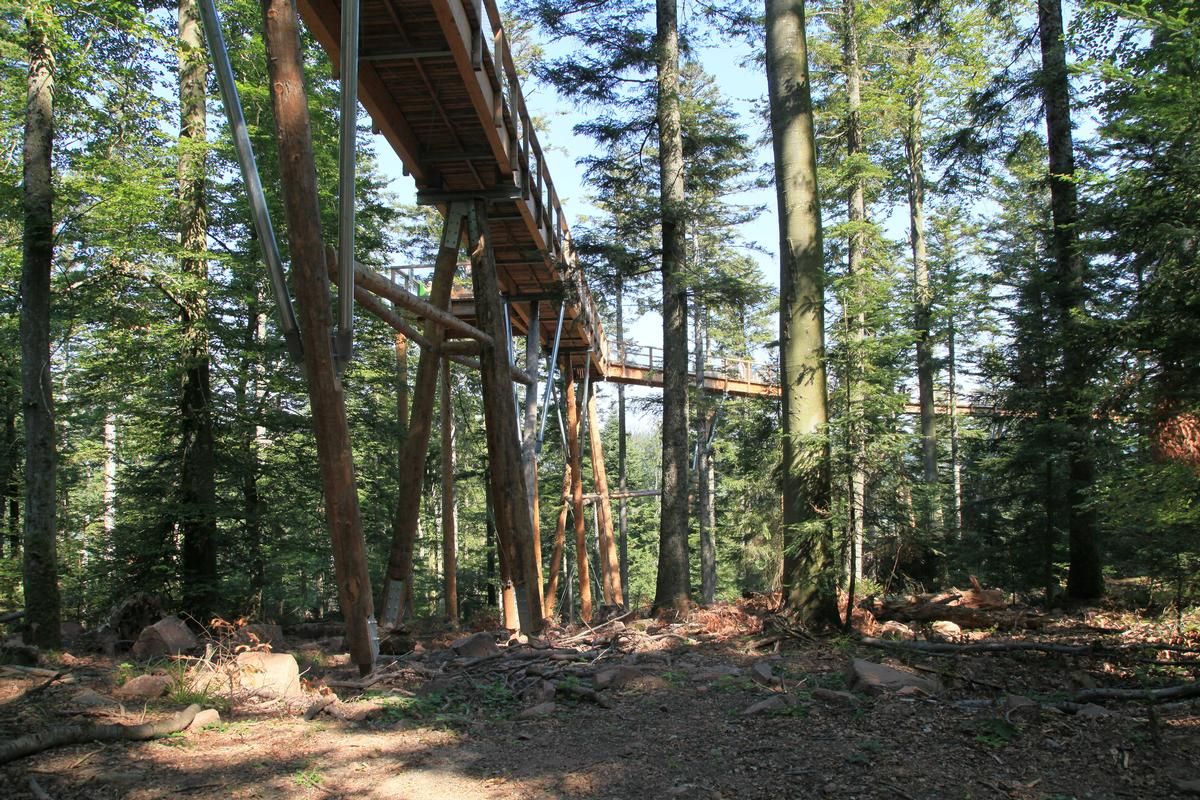
| Function / usage: |
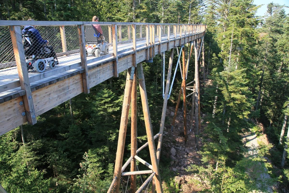
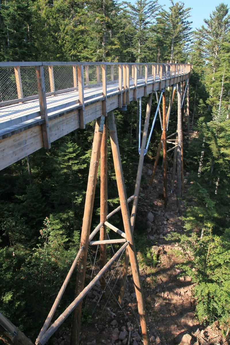
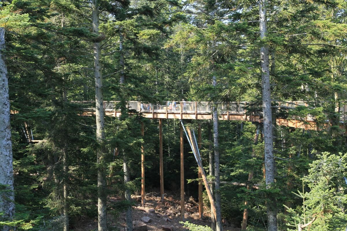
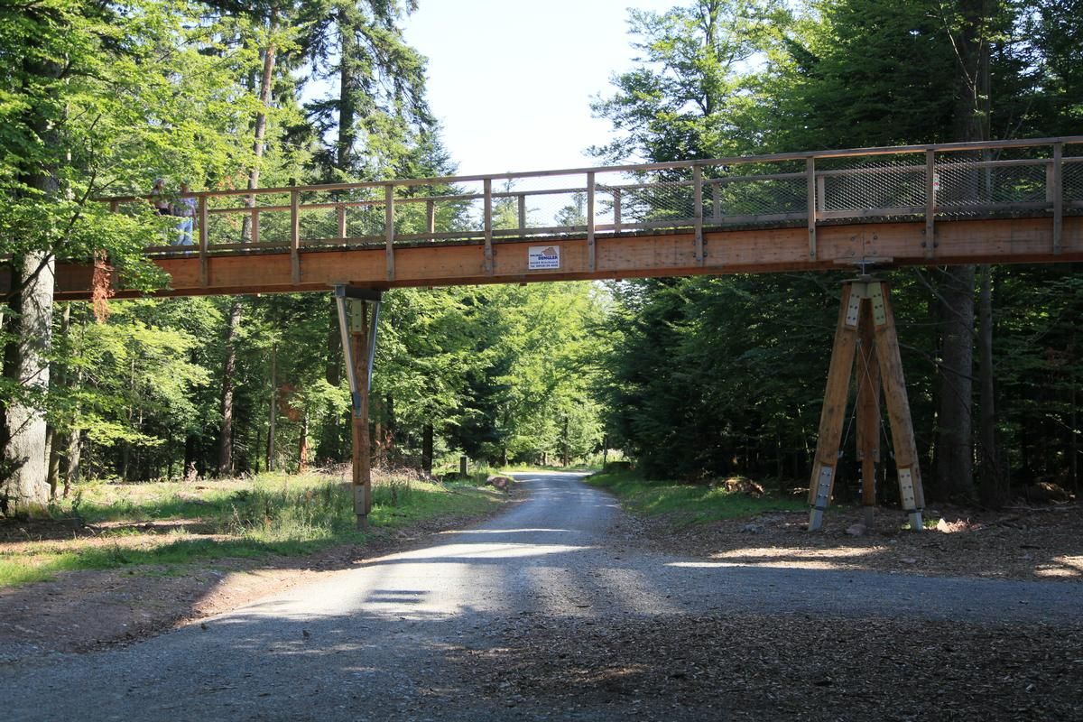
Canopy walkway |
|---|---|
| Material: |
Timber bridge |
| Structure: |
Girder bridge |
| Material: |
Structurae Plus/Pro - Subscribe Now! |
Location
| Location: |
Bad Wildbad, Calw (Kreis), Baden-Württemberg, Germany |
|---|---|
| Connects to: |
Observation tower of the Black Forest Canopy Walk (2014)
|
| Coordinates: | 48° 44' 55.20" N 8° 31' 53.21" E |
| Coordinates: | 48° 45' 1.05" N 8° 32' 9.41" E |
Technical Information
Dimensions
| length | 636 m | |
| height above valley floor or water | 4 - 20 m | |
| longitudinal slope | max. 6 % |
Materials
| deck |
wood
|
|---|---|
| piers |
wood
|
Participants

Relevant Web Sites
There currently are no relevant websites listed.
- About this
data sheet - Structure-ID
20076776 - Published on:
11/02/2019 - Last updated on:
12/02/2019
Structurae cooperates with


