General Information
| Completion: | 24 April 1906 |
|---|---|
| Status: | in use |
Project Type
| Function / usage: |
Elevated metro or light rail station |
|---|
Location
| Location: |
Paris (15th), Paris, Ile-de-France, France |
|---|---|
| Part of: | |
| Coordinates: | 48° 51' 14.04" N 2° 17' 21.59" E |
Technical Information
There currently is no technical data available.
Excerpt from Wikipedia
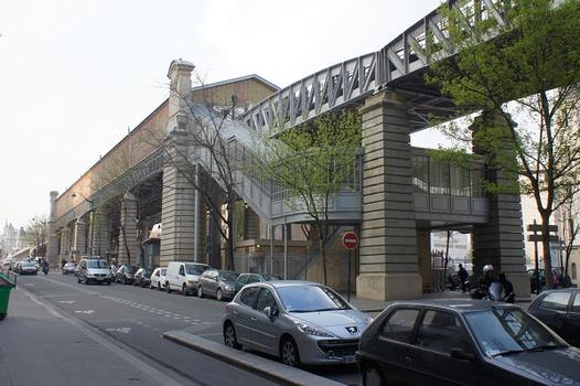
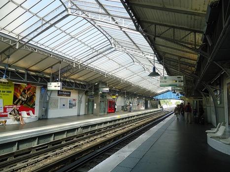
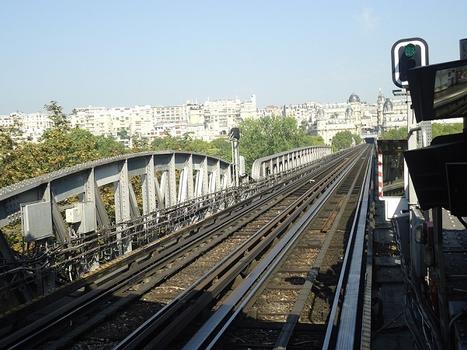
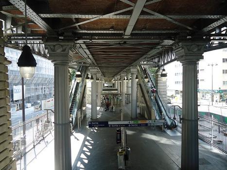
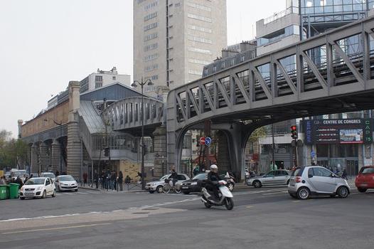
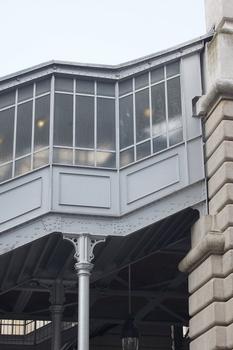
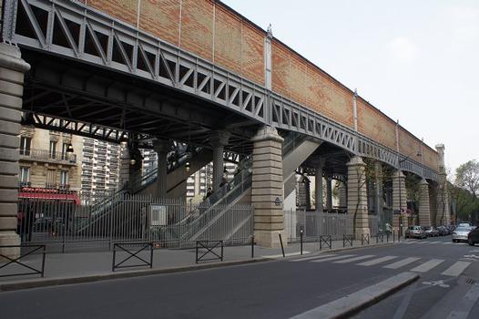
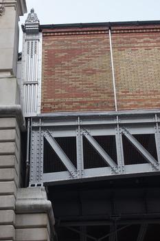
Bir-Hakeim is an elevated station of the Paris Métro serving line 6 in the Boulevard de Grenelle in the 15th arrondissement. It is situated on the left bank of the Bir-Hakeim bridge over the Seine. The name of both the bridge and the station commemorates the World War II battle of Bir Hakeim.
The station is above the RER C line; the station Champ de Mars - Tour Eiffel is within walking distance.
History
The station opened as part of the former Line 2 South on 24 April 1906, when it was extended from Passy to Place d'Italie. On 14 October 1907 Line 2 South was incorporated into Line 5. It was incorporated into line 6 on 12 October 1942. The station was called Quai de Grenelle until 1949, when it was renamed to commemorate the battle of Bir Hakeim. A commemorative panel is situated at the entrance of the platform for trains traveling towards Nation. The station was the location of the Barrière de la Cunette, a gate built for the collection of taxation as part of the Wall of the Farmers-General; the gate was built between 1784 and 1788 and demolished in the nineteenth century.
Text imported from Wikipedia article "Bir-Hakeim (Paris Métro)" and modified on July 23, 2019 according to the CC-BY-SA 4.0 International license.
Participants
Currently there is no information available about persons or companies having participated in this project.
Relevant Web Sites
- About this
data sheet - Structure-ID
20051477 - Published on:
08/01/2010 - Last updated on:
25/01/2022

