
General Information
Project Type
| Function / usage: |
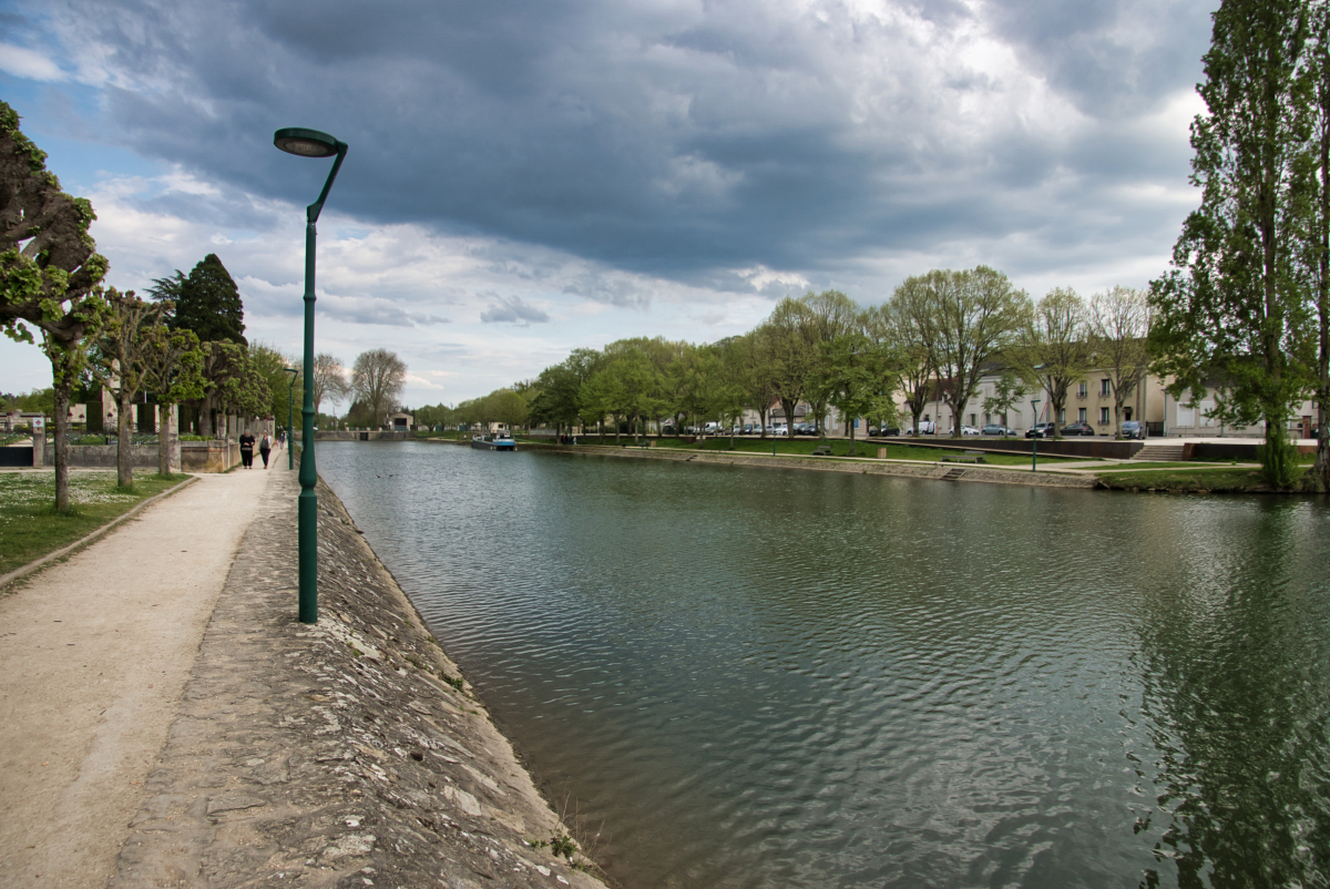
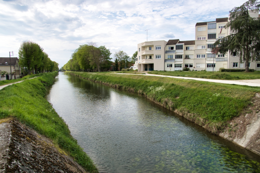
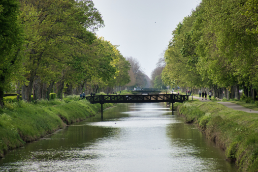
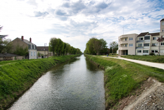
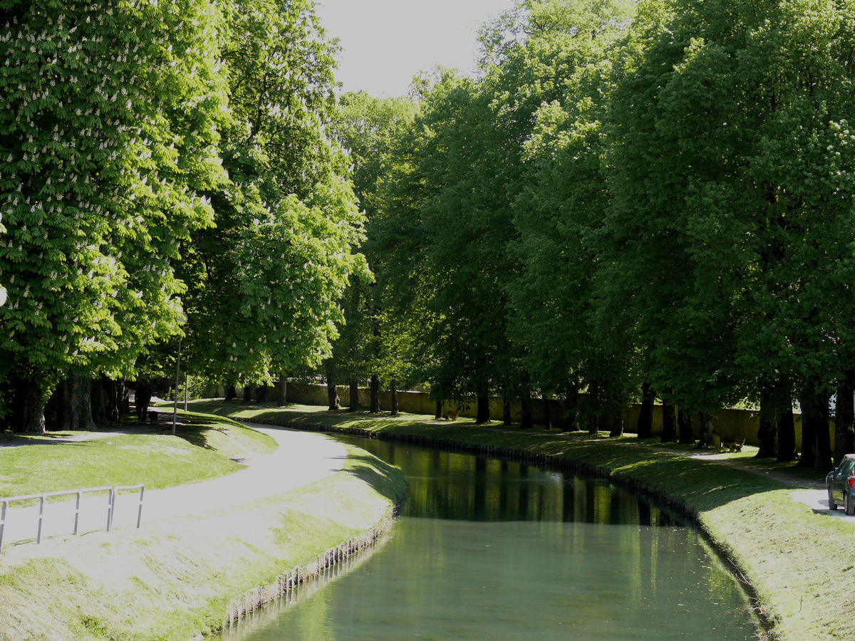
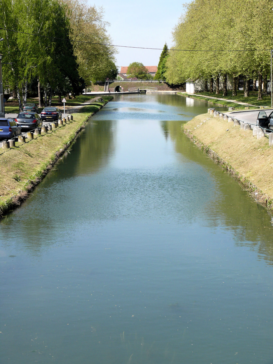
Canal |
|---|
Location
| km | Name |
Technical Information
Dimensions
| total length | 320 km | |
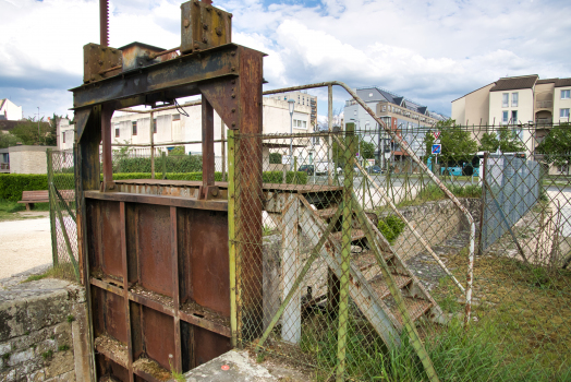
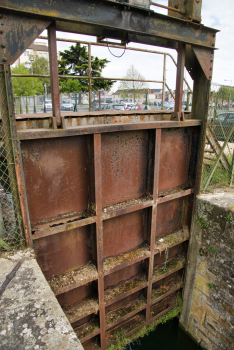
| number of locks | 116 | |
| canalized river branch (Cher / Noyers-sur-Cher — Tours) | ||
|---|---|---|
| length | 59 km | |
| number of locks | 16 (31 m x 5.20 m) | |
| height difference | 20.20 m | |
| eastern branch (Fontblisse — Marseilles-lès-Aubigny) | ||
| length | 49 km | |
| number of locks | 17 (27.75 m x 2.70 m) | |
| height difference | Fontblisse — Liénesse: 10.45 m Mirlorets — Marseilles-lès-Aubigny: 26.45 m |
|
| junction canal (Cher-Loire; Tours) | ||
| length | 2.4 km | |
| number of locks | 2 (31 m x 5.20 m) | |
| height difference | 0.30 m | |
| north-western branch (Fontblisse — Noyers-sur-Cher) | ||
| length | 142 km | |
| number of locks | 51 (27.75 m x 2.70 m) 2 (31 m × 5.20 m) |
|
| height difference | 119.75 m | |
| southern branch (Montluçon — Fontblisse) | ||
| length | 70 km | |
| number of locks | 10 (30 m x 4 m) 17 (27.75 m × 2.70 m) |
|
| height difference | Montluçon — Saint-Amand: 40.70 m Saint-Amand — Fontblisse: 27.20 m |
|
Participants

Relevant Web Sites

Relevant Publications
- (1985): Batellerie et bateaux du canal du (sic) Berry. Ed. Musée de la Batellerie de Conflans-Sainte-Honorine, Conflans-Sainte-Honorine (France).
- (1998): Le Canal de Berry. Ed. associées de France, France (France).
- (2001): Le Canal de Berry. Ed. DRAC Centre, France (France).
- (2003): Un canal pas comme les autres: le Canal de Berry. Ed. Musée de la Batellerie de Conflans-Sainte-Honorine, Conflans-Sainte-Honorine (France).
- (2004): Chemin d'eau, les canaux du Centre. éd. Musée de la Marine de Loire / DRAC Centre, Châteauneuf-sur-Loire (France).
- About this
data sheet - Structure-ID
10000652 - Published on:
17/05/2005 - Last updated on:
25/04/2022
Structurae cooperates with


