
General Information
Project Type
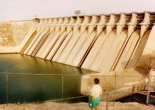
| Function / usage: |
Flood-control dam Fresh water dam |
|---|---|
| Structure: |
Earthfill dam Gravity dam |
| Material: |
Concrete dam |
| Function / usage: |
Hydroelectric dam / plant |
Location
| Location: |
Acuña, Coahuila, Mexico Del Rio, Val Verde County, Texas, USA |
|---|---|
| Impounds: |
|
| Coordinates: | 29° 26' 59.28" N 101° 3' 29.73" W |
Technical Information
Dimensions
| height | 77.4 m | |
| total length | 9 750 m | |
| spillway | length | 286.56 m |
Materials
| spillway |
reinforced concrete
|
|---|
Chronology
| 1969 | Dedicated by US President Richard M. Nixion and Mexican President Diaz Ordaz. |
|---|
Notes
The dam crosses the national boundary between the United States and Mexico. 2 921 meters of the dam are on US territory, while 6 839 meters are in Mexico.
Power generation:
- United States: 5 penstocks, 4.42 m diameter
- Mexico: 4 penstocks, 4.80 m diameter
Participants
Currently there is no information available about persons or companies having participated in this project.
Relevant Web Sites
There currently are no relevant websites listed.
- About this
data sheet - Structure-ID
20012318 - Published on:
28/06/2004 - Last updated on:
16/10/2015
Structurae cooperates with


