
General Information
| Completion: | 23 January 1881 |
|---|---|
| Status: | demolished (2007) |
Project Type
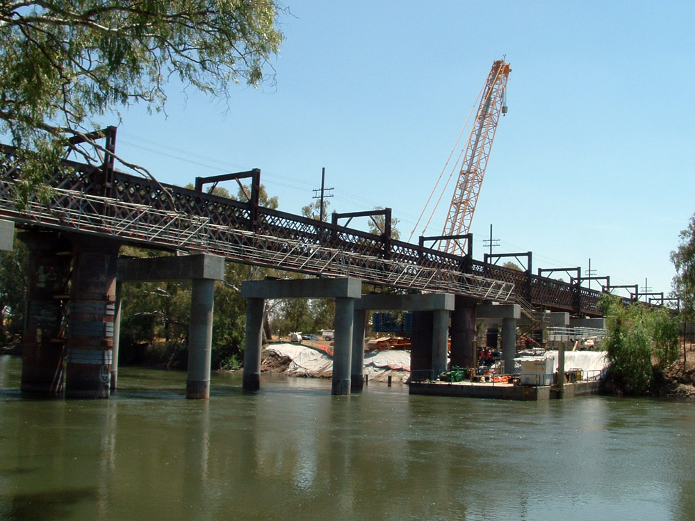
| Structure: |
Greiner truss bridge |
|---|---|
| Function / usage: |
Railroad (railway) bridge |
| Material: |
Iron bridge |
Location
| Location: |
City of Wagga Wagga, New South Wales, Australia |
|---|---|
| Crossed: |
|
| Coordinates: | 35° 6' 56.50" S 147° 22' 57.94" E |
Technical Information
Dimensions
| span lengths | 4 x 48.5 m | |
| number of spans | 4 |
Materials
| truss |
wrought iron
|
|---|
Chronology
| 16 December 1880 | Load testing. |
|---|---|
| 23 January 1881 | The bridge is opened to traffic. |
Participants
Currently there is no information available about persons or companies having participated in this project.
Relevant Web Sites

Relevant Publications
- (1985): Spanning Two Centuries. Historic Bridges of Australia. University of Queensland Press, Saint Lucia (Australia), pp. 255.
- About this
data sheet - Structure-ID
20049400 - Published on:
04/12/2009 - Last updated on:
05/02/2016
Structurae cooperates with


