
General Information
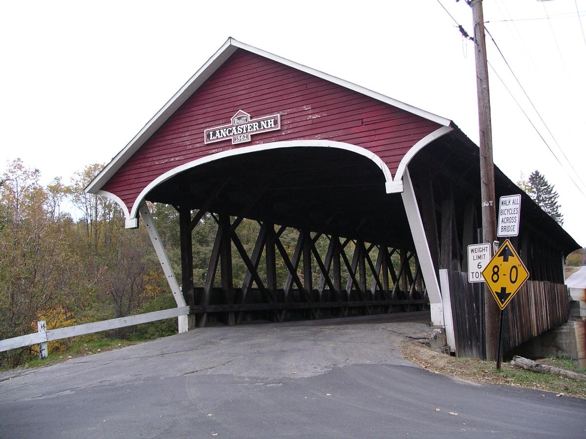
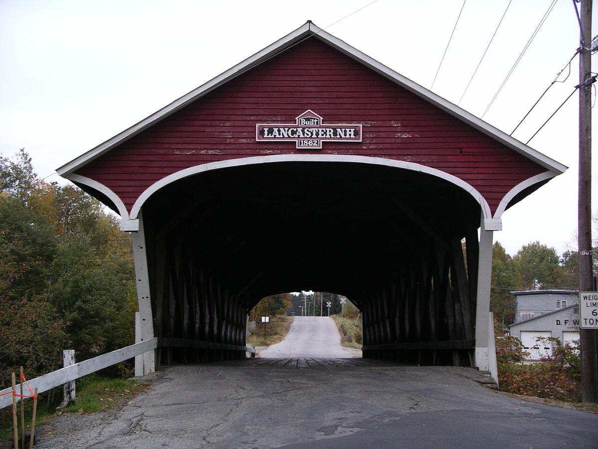
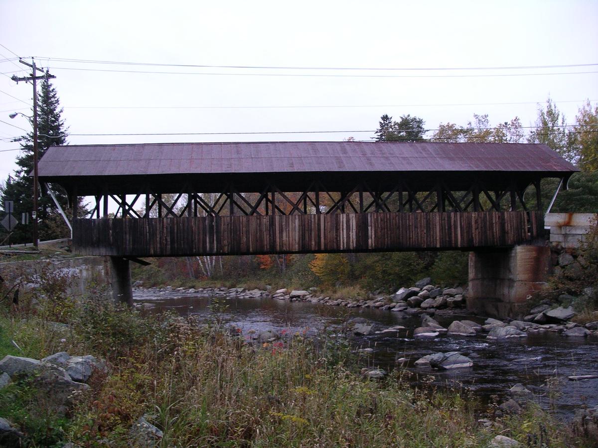
| Other name(s): | Israels River Bridge |
|---|---|
| Completion: | 1862 |
| Status: | in use |
Project Type
| Structure: |
Covered bridge Paddleford type truss bridge |
|---|---|
| Function / usage: |
Road bridge |
| Material: |
Timber bridge |
Location
| Location: |
Lancaster, Coos County, New Hampshire, USA |
|---|---|
| Coordinates: | 44° 29' 12.86" N 71° 33' 51.12" W |
Technical Information
Dimensions
| width | 6.96 m | |
| span | 24.18 m | |
| length | 28.73 m |
Materials
| truss |
wood
|
|---|
Participants
Currently there is no information available about persons or companies having participated in this project.
Relevant Web Sites

- About this
data sheet - Structure-ID
20006796 - Published on:
11/11/2002 - Last updated on:
14/02/2019
Structurae cooperates with


