
General Information
Project Type
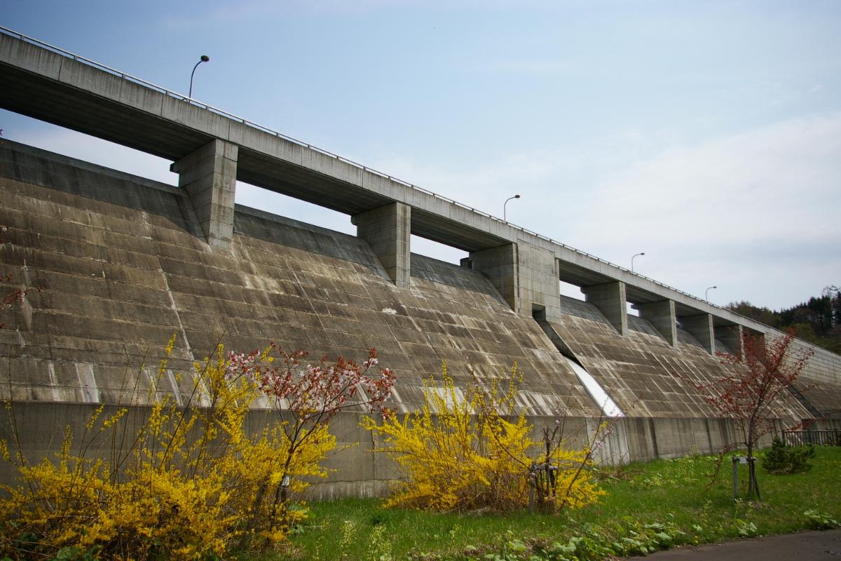
| Structure: |
Gravity dam |
|---|---|
| Function / usage: |
Fresh water dam Flood-control dam |
| Material: |
Concrete dam |
Location
Technical Information
Dimensions
| height | 31.9 m | |
| crest length | 540 m | |
| reservoir capacity | 3 200 000 m³ | |
| dam volume | 174 000 m³ |
Excerpt from Wikipedia
Kuriyama Dam (栗山ダム) is a concrete gravity dam in Hokkaido, Japan. The dam lies on the Ponuenbetsu River and forms Lake Kuriyama. The Ponuenbetsu River is a major tributary of the Ishikari River.
History
The Kurayama Dam land use investigation started in 1972, as part of the Uenbetsu River Comprehensive Development Project. By 1975, the full-scale dam construction implementation planning began, and construction started in 1983. Land appropriation negotiations and road construction, excavation and the dam's main concrete wall ran from 1989 to 1992. The dam was completed in 1994.
Text imported from Wikipedia article "Kuriyama Dam" and modified on 23 July 2019 under the CC-BY-SA 3.0 license.
Participants
Currently there is no information available about persons or companies having participated in this project.
Relevant Web Sites

- About this
data sheet - Structure-ID
20041459 - Published on:
18/12/2008 - Last updated on:
16/05/2015
Structurae cooperates with


