
General Information
| Other name(s): | Gramercy Bridge |
|---|---|
| Completion: | 1995 |
| Status: | in use |
Project Type
| Structure: |
Cantilever truss bridge |
|---|---|
| Function / usage: |
Road bridge |
| Material: |
Steel bridge |
Location
| Location: |
Gramercy, Saint James Parish, Louisiana, USA |
|---|---|
| Crosses: |
|
| Coordinates: | 30° 2' 46" N 90° 40' 22" W |
Technical Information
Dimensions
| main span | 445 m | |
| total length | 945 m |
Materials
| truss |
steel
|
|---|
Excerpt from Wikipedia
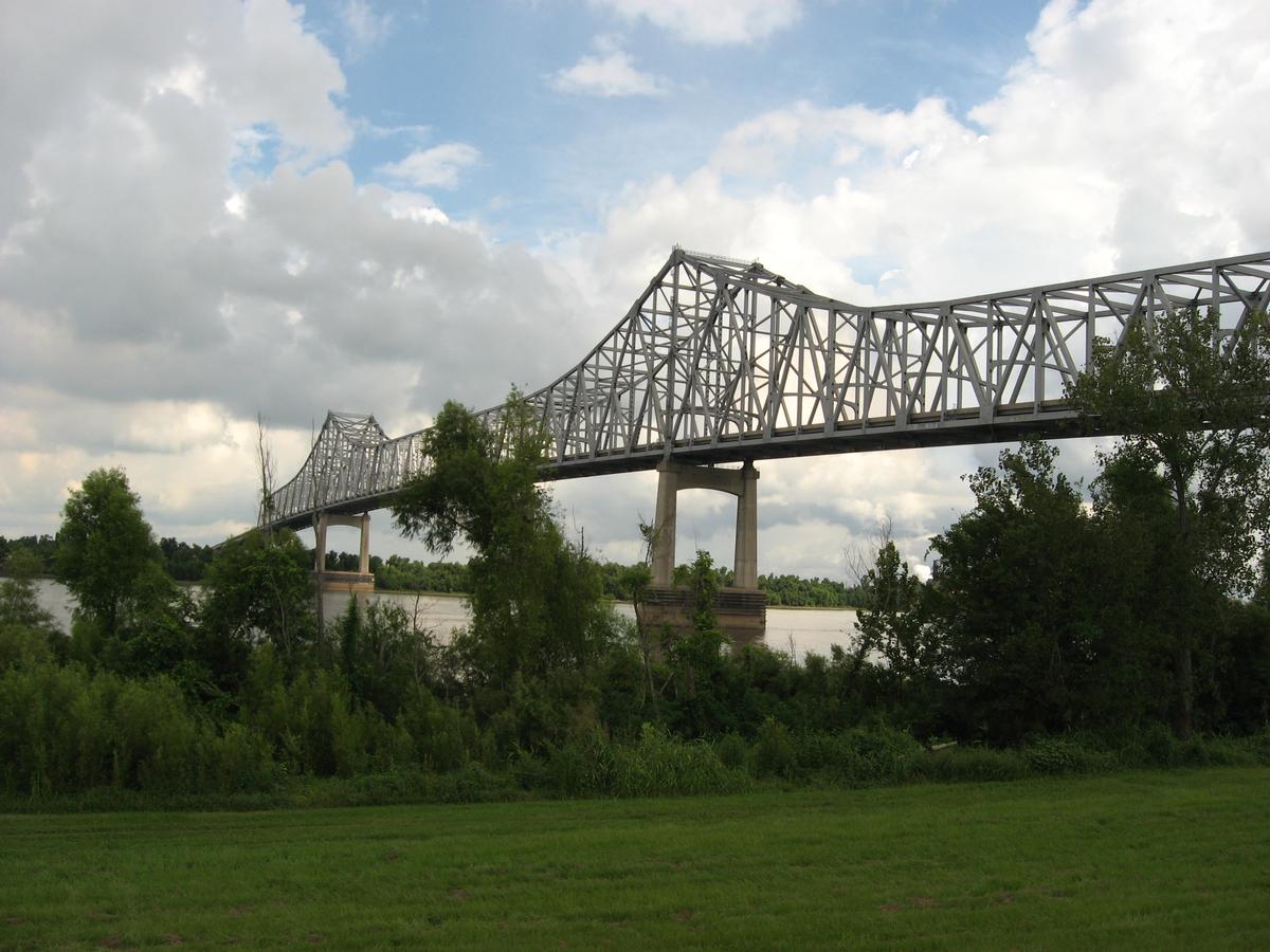
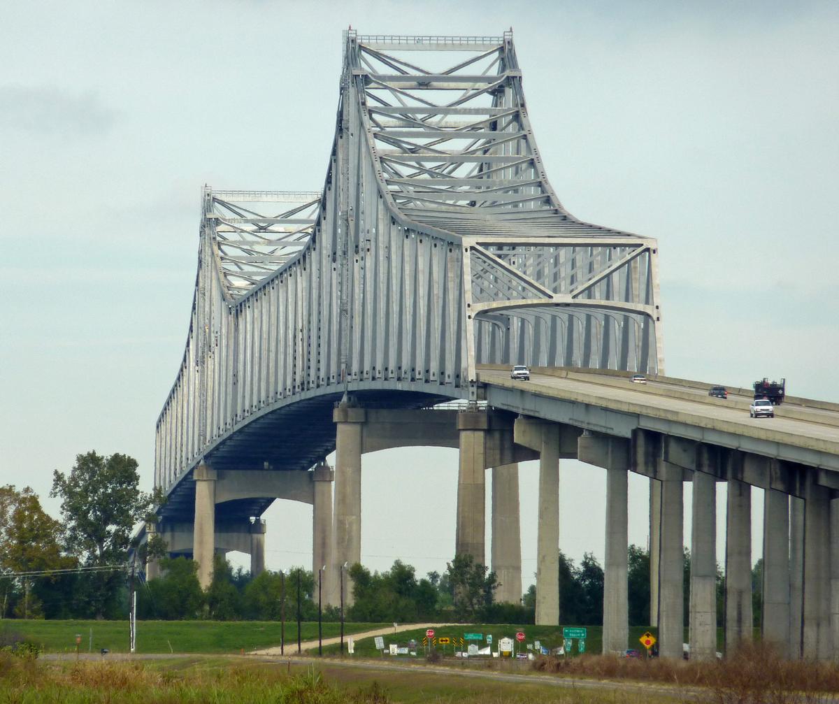
The Gramercy Bridge (officially the Veterans Memorial Bridge), is a cantilever bridge over the Mississippi River connecting Gramercy, Louisiana in St. James Parish with St. John the Baptist Parish. It is the second newest Mississippi River bridge in Louisiana (due to the completion of the John James Audubon Bridge), one of many built to replace the ferry system following a 1976 accident that killed 78 when a ferry sank after being struck by a ship. The bridge and its approaches are Louisiana Highway 3213 (LA 3213), which runs 3.79 miles (6.10 km) from Louisiana Highway 18 on the west bank north over the bridge, past an interchange with Louisiana Highway 44, to its terminus at Louisiana Highway 641. (LA 641 continues north across U.S. Highway 61 (Airline Highway) to Interstate 10.)
LA 3213 now extends from the bridge to LA 3127 on a two lane roadway that crosses over railroad tracks about halfway down the road.
Text imported from Wikipedia article "Gramercy Bridge"
and modified on 23 July 2019 under the CC-BY-SA 3.0 license.
Participants
Relevant Web Sites

- About this
data sheet - Structure-ID
20016593 - Published on:
13/06/2005 - Last updated on:
27/11/2018


