
General Information
| Completion: | 1991 |
|---|---|
| Status: | in use |
Project Type
| Structure: |
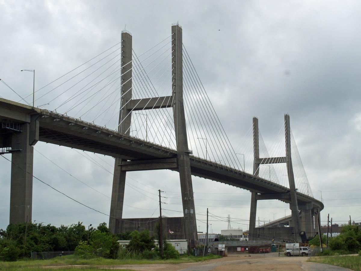
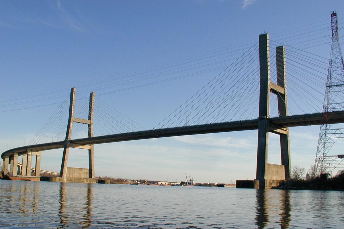
Cable-stayed bridge with semi-fan system Three-span cable-stayed bridge |
|---|---|
| Secondary structure(s): |
Structurae Plus/Pro - Subscribe Now! Structurae Plus/Pro - Subscribe Now! |
| Function / usage: |
Road bridge |
| Material: |
Prestressed concrete bridge Structurae Plus/Pro - Subscribe Now! Structurae Plus/Pro - Subscribe Now! |
Location
| Location: |
Mobile, Mobile County, Alabama, USA |
|---|---|
| Address: | U.S. Route 98 |
| Coordinates: | 30° 44' 0" N 88° 2' 33" W |
Technical Information
Dimensions
| total length | 2 222 m | |
| eastern approach viaduct | ||
|---|---|---|
| total length | 870 m | |
| main bridge | ||
| main span | 238.00 m | |
| span lengths | 110.00 m - 238.00 m - 110.00 m | |
| number of spans | 3 | |
| vertical navigation clearance | 42.70 m | |
| horizontal navigation clearance | 182.60 m | |
| deck | width | 24 m |
| pile caps | width | 18.30 m |
| length | 52.40 m | |
| thickness | 3.80 m | |
| western approach viaduct | ||
| total length | 894 m | |
Materials
| deck |
prestressed concrete
|
|---|---|
| piers |
reinforced concrete
|
| pylons |
reinforced concrete
|
| abutments |
reinforced concrete
|
Chronology
| 30 August 2005 | A loose oil rig strikes the deck between the two pylons during hurricane "Katrina". The bridge is re-opened later with 1 lane in each directions after no significant structural damage was found to have occured. |
|---|
Participants
Relevant Web Sites
There currently are no relevant websites listed.
Relevant Publications
- (1989): Elevación de vigas en los accesos al puente de Cochrane (USA). In: Hormigón y acero, v. 40, n. 170 (1st Quarter 1989), pp. 149-156.
- (1989): Proyecto del puente Cochrane en Alabama (EEUU). In: Hormigón y acero, v. 40, n. 170 (1st Quarter 1989), pp. 73-78.
- About this
data sheet - Structure-ID
20004889 - Published on:
08/09/2002 - Last updated on:
23/02/2019
Structurae cooperates with


