
General Information
| Completion: | 1540 |
|---|---|
| Status: | in use |
Project Type
| Function / usage: |
City gate |
|---|
Location
Technical Information
There currently is no technical data available.
Excerpt from Wikipedia
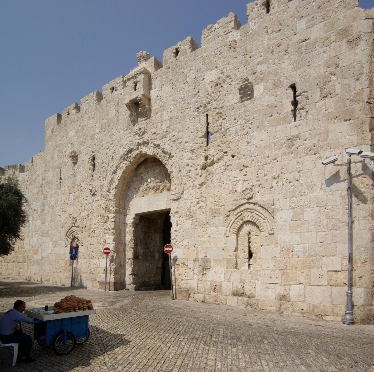
Zion Gate (Hebrew: שער ציון, Sha'ar Zion, Arabic: باب صهيون, Bab Sahyun) also known in Arabic as Bab Harat al-Yahud ("Jewish Quarter Gate"), or Bab an-Nabi Dawud ("Prophet David Gate"), is one of eight gates in the walls of the Old City of Jerusalem.
History
Zion Gate was built in July 1540, west of the location of the medieval gate, which was a direct continuation of the Street of the Jews (also known the Cardo). Six sentry towers were erected in the southern segment of the wall, four of them situated in the Mount Zion section.
In the second half of the nineteenth century, a leper colony, slaughter house and livestock market were situated in the vicinity of Zion Gate. Towards the end of the nineteenth century, shops were built along the length of the southern wall which were torn down during the British Mandate.
On May 13, 1948, as the British Army withdrew from Jerusalem, a major from the Suffolk Regiment presented Mordechai Weingarten with the key for the Zion Gate.
In 2008, restoration work was carried out on the gate, marking its 468th birthday.
Text imported from Wikipedia article "Zion Gate" and modified on July 23, 2019 according to the CC-BY-SA 4.0 International license.
Participants
Currently there is no information available about persons or companies having participated in this project.
Relevant Web Sites

- About this
data sheet - Structure-ID
20038207 - Published on:
24/07/2008 - Last updated on:
28/05/2021


