General Information
| Name in local language: | Puente El Zacatal |
|---|---|
| Completion: | October 1994 |
| Status: | in use |
Project Type
| Function / usage: |
Road bridge |
|---|---|
| Plan view: |
Structurae Plus/Pro - Subscribe Now! |
| Structure: |
Girder bridge |
| Material: |
Prestressed concrete bridge |
| Construction method: |
Precast girders with cast-in-situ slab |
| Support conditions: |
for registered users |
| Material: |
Structurae Plus/Pro - Subscribe Now! |
Location
| Location: |
Ciudad del Carmen, Campeche, Mexico |
|---|---|
| Coordinates: | 18° 37' 24.29" N 91° 50' 15.22" W |
Technical Information
Dimensions
| width | 9 m | |
| length | 3 861 m | |
| number of lanes | 2 |
Materials
| piers |
reinforced concrete
|
|---|---|
| girders |
precast prestressed concrete
|
Excerpt from Wikipedia
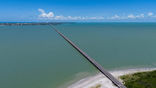
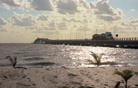
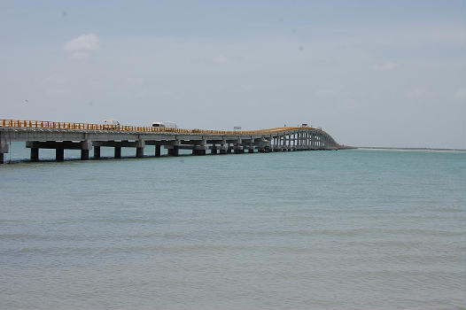
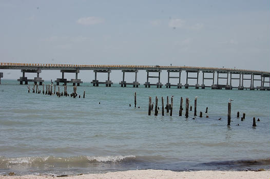
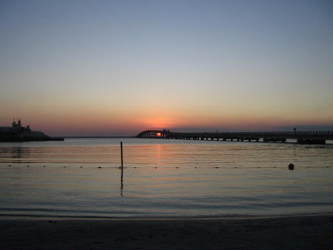
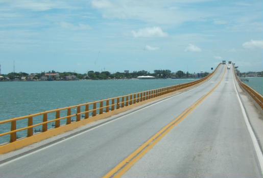
The Zacatal Bridge (Spanish: Puente El Zacatal) is located southwest of Ciudad del Carmen, in the state of Campeche in Mexico. It connects the Atasta peninsula and the Isla del Carmen.
This is the longest bridge in the state and at the time of opening the longest in Mexico with a length of 3,861 m (12,667 ft) and a width of 9 m (30 ft). It is a two-lane road bridge for the Federal Highway 180. It is one of the busiest in the country since it is the gateway to the Yucatán Peninsula.
The superstructure is composed entirely of prefabricated elements to base being: 121 heads of precast concrete, 496 Type IV girders Aastha amended and 8 box girders well as 124 post-tensioned concrete slabs. It was completed in October 1994.
Text imported from Wikipedia article "Zacatal Bridge" and modified on December 16, 2024 according to the CC-BY-SA 4.0 International license.
Participants
Currently there is no information available about persons or companies having participated in this project.
Relevant Web Sites
- About this
data sheet - Structure-ID
20089997 - Published on:
12/12/2024 - Last updated on:
13/12/2024

