
General Information
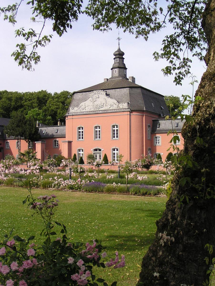
| Other name(s): | Schloss Wickrath |
|---|---|
| Status: | in use |
Project Type
| Function / usage: |
Château |
|---|
Location
| Location: |
Mönchengladbach, North Rhine-Westphalia, Germany |
|---|---|
| Coordinates: | 51° 7' 44.04" N 6° 24' 57.49" E |
Technical Information
There currently is no technical data available.
Excerpt from Wikipedia
Schloss Wickrath is a moated castle complex in Wickrath. The castle is located on the river Niers. The original castle, the so-calledChateau de Wyckradt, was demolished in 1859 by the Prussian administration. The ensemble of buildings in the park, the baroque west and east wing and the so-calledLandstallmeisterhaus, the residence of the former stud master, which was built in 1875, is nowadays called "Schloss Wickrath". It was built between 1746 and 1772 by count Wilhelm Otto Friedrich von Quadt. The park has the shape of a coronet of a count of the Holy Roman Empire. In 2002 the castle was part of Euroga2002.
Text imported from Wikipedia article "Schloss Wickrath" and modified on July 23, 2019 according to the CC-BY-SA 4.0 International license.
Participants
Currently there is no information available about persons or companies having participated in this project.
Relevant Web Sites

- About this
data sheet - Structure-ID
20031989 - Published on:
13/09/2007 - Last updated on:
23/03/2021


