

General Information
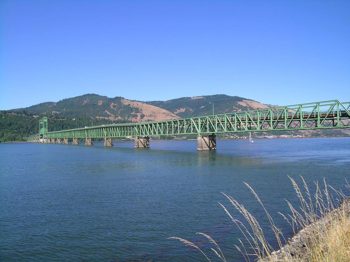
| Other name(s): | Hood River Bridge |
|---|---|
| Completion: | 1924 |
| Status: | in use |
Project Type
Location
| Location: |
Hood River, Hood River County, Oregon, USA White Salmon, Klickitat County, Washington, USA |
|---|---|
| Address: | Interstate I-84 |
| Crosses: |
|
| Part of: | |
| Coordinates: | 45° 43' 5.01" N 121° 29' 40.99" W |
Technical Information
Dimensions
| main span | 79.92 m | |
| total length | 1 346.67 m |
Chronology
| 9 December 1924 | Opening. |
|---|
Participants
Currently there is no information available about persons or companies having participated in this project.
Relevant Web Sites
There currently are no relevant websites listed.
Relevant Publications
- : Spanning Washington. Historic Highway Bridges of the Evergreen State. Washington State University Press, Pullman (USA), pp. 105-106.
- About this
data sheet - Structure-ID
20031791 - Published on:
13/09/2007 - Last updated on:
05/02/2016
Structurae cooperates with


