
General Information
| Name in local language: | Wesel-Datteln-Kanal |
|---|---|
| Beginning of works: | 1915 |
| Completion: | 1930 |
| Status: | in use |
Project Type
| Function / usage: |
Canal |
|---|
Location
| km | Name |
| 1.900 | |
| 2.583 | |
| 3.621 | |
| 3.799 | |
| 3.817 | |
| 4.419 | |
| 6.713 | |
| 7.335 | |
| 9.268 | |
| 10.858 | |
| 12.240 | |
| 12.263 | |
| 13.300 | |
| 14.053 | |
| 15.349 | |
| 16.024 | |
| 18.478 | |
| 20.099 | |
| 21.247 | |
| 23.887 | |
| 24.723 | |
| 26.052 | |
| 27.605 | |
| 27.708 | |
| 28.099 | |
| 29.466 | |
| 29.569 | |
| 30.500 | |
| 32.043 | |
| 32.232 | |
| 33.011 | |
| 35.053 | |
| 35.767 | |
| 36.662 | |
| 37.162 | |
| 37.506 | |
| 37.648 | |
| 37.656 | |
| 38.389 | |
| 39.561 | |
| 40.455 | |
| 41.874 | |
| 42.245 | |
| 42.947 | |
| 43.461 | |
| 45.219 | |
| 45.727 | |
| 47.856 | |
| 47.956 | |
| 48.263 | |
| 48.686 | |
| 49.400 | |
| 50.029 | |
| 51.168 | |
| 53.053 | |
| 54.487 | |
| 55.161 | |
| 55.900 | |
| 56.780 | |
| 57.738 | |
| 58.692 | |
| 59.300 |
Technical Information
Dimensions
| length | ca. 60 km |
Excerpt from Wikipedia
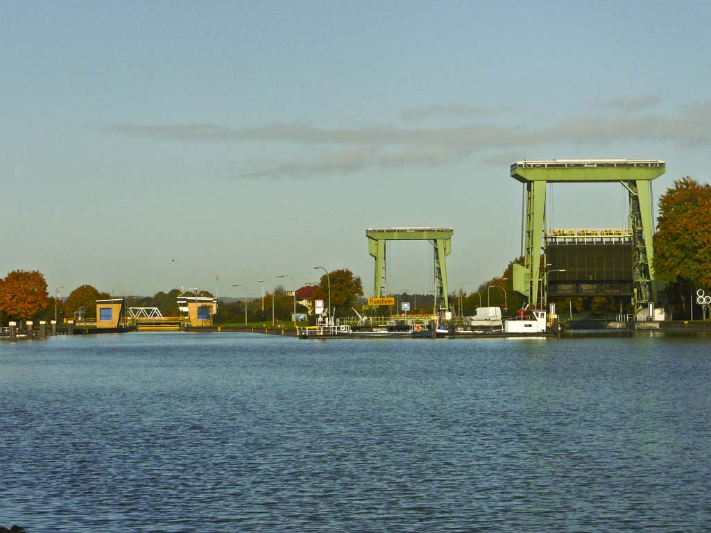
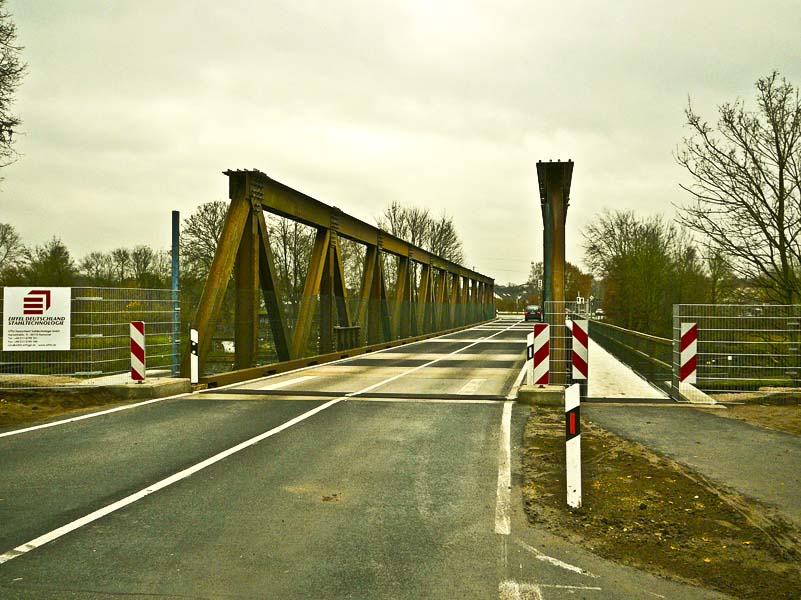
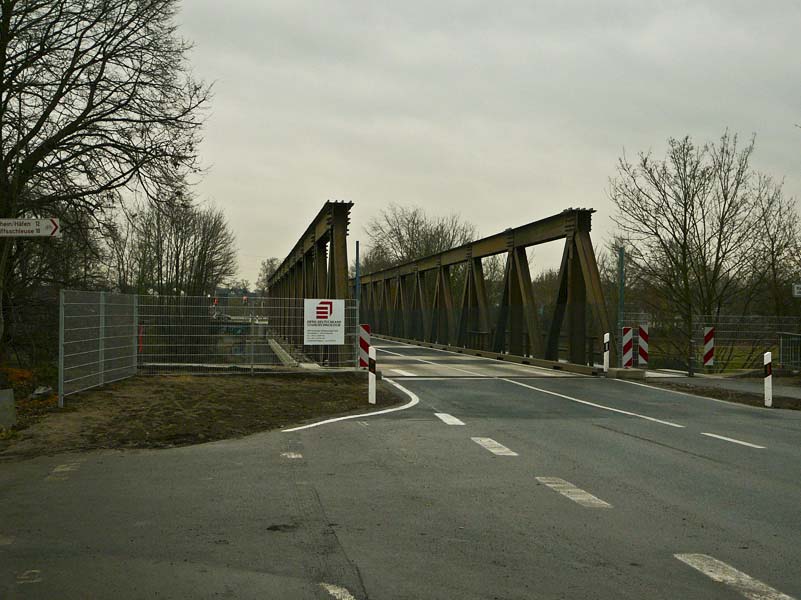
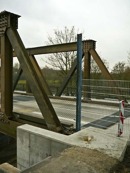
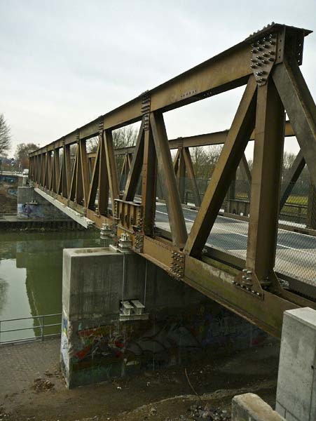
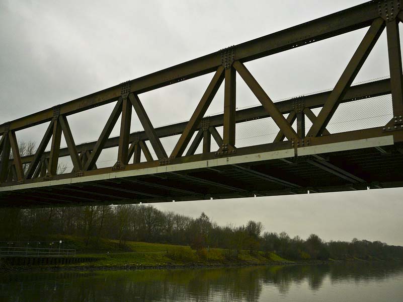
The Wesel–Datteln Canal (German:Wesel-Datteln-Kanal) is a 60-kilometre (37 mi) long canal in North Rhine-Westphalia, Germany. It runs along the northern edge of the Ruhr Area, from the Rhine near Wesel to the Dortmund-Ems Canal near Datteln. It forms an important transport connection between the Lower Rhine and northern and eastern Germany, together with the parallel Rhine-Herne Canal.
Construction of the Wesel–Datteln Canal was started in 1915, and the canal was opened in 1930 (1930). It runs parallel to the river Lippe. The canal has six locks, at Friedrichsfeld, Hünxe, Dorsten, Flaesheim, Ahsen and Datteln. The main ports along the canal are in Marl (Chemiepark Marl and Auguste-Victoria).
Text imported from Wikipedia article "Wesel–Datteln Canal" and modified on July 22, 2019 according to the CC-BY-SA 4.0 International license.
Participants
Currently there is no information available about persons or companies having participated in this project.
Relevant Web Sites

- About this
data sheet - Structure-ID
10001262 - Published on:
17/02/2008 - Last updated on:
07/03/2022


