
General Information
| Status: | in use |
|---|
Project Type
| Function / usage: |
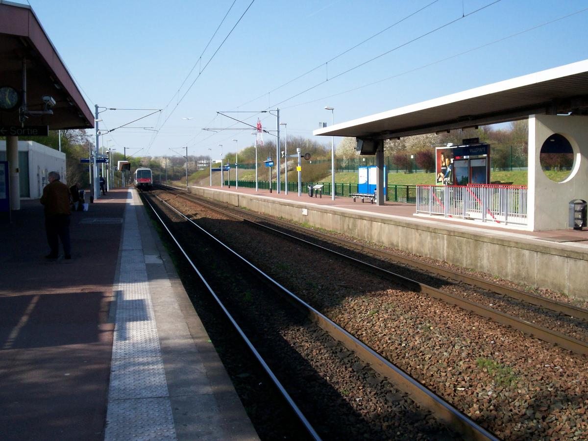
Railroad (railway) station |
|---|
Location
| Location: |
Villepinte, Seine-Saint-Denis (93), Ile-de-France, France |
|---|---|
| Part of: | |
| Coordinates: | 48° 57' 47" N 2° 30' 44" E |
Technical Information
There currently is no technical data available.
Participants
Currently there is no information available about persons or companies having participated in this project.
Relevant Web Sites

- About this
data sheet - Structure-ID
20034675 - Published on:
24/02/2008 - Last updated on:
16/05/2015
Structurae cooperates with


