
General Information
Project Type
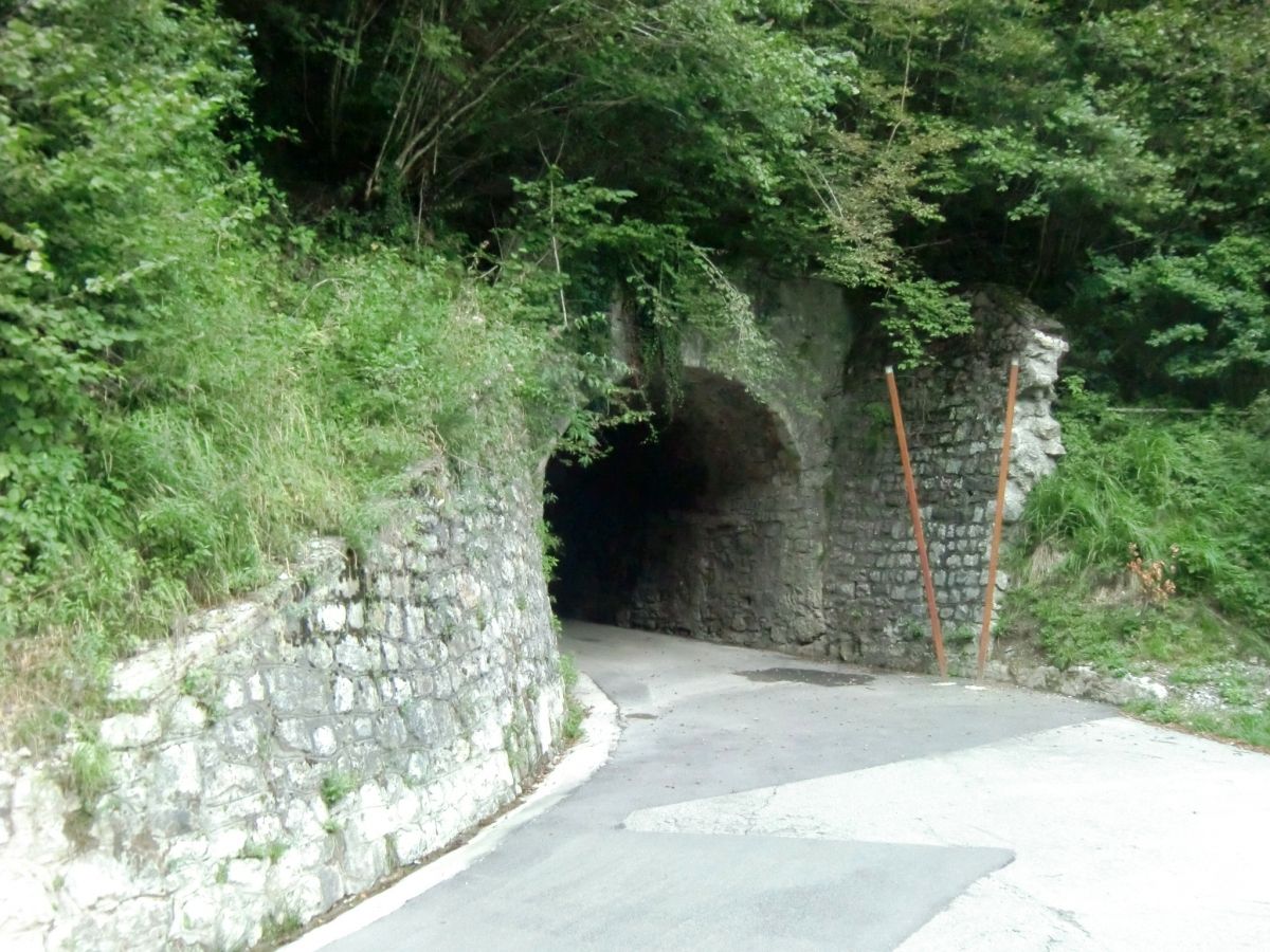
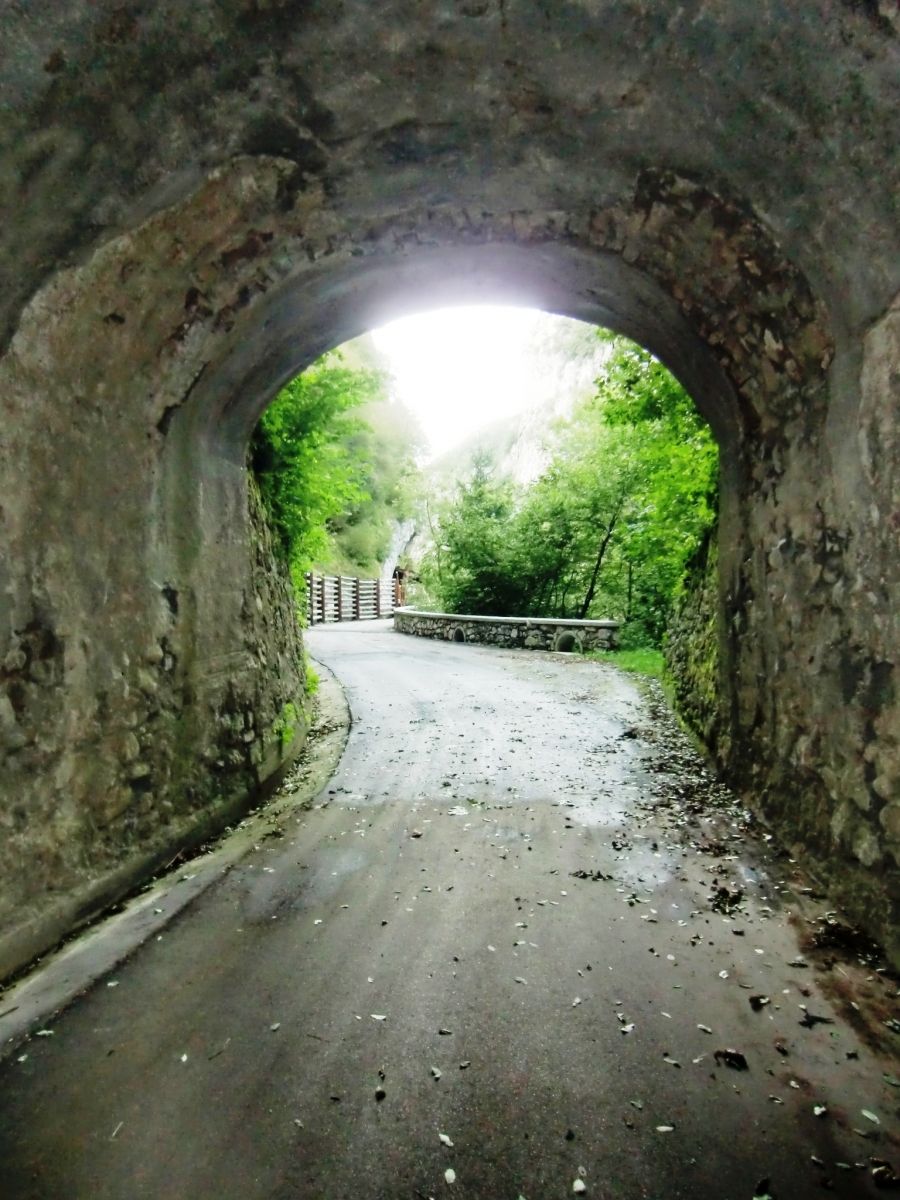
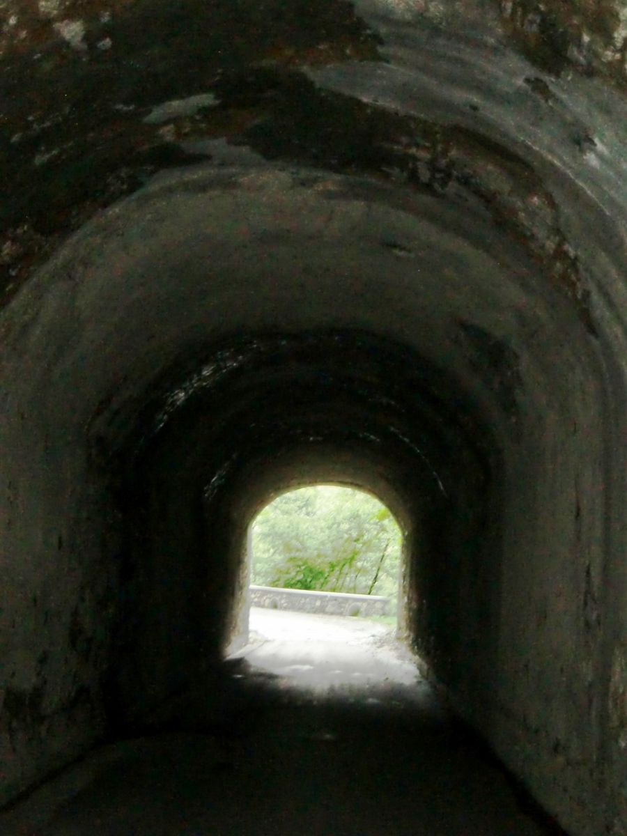
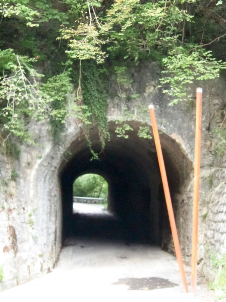
| Structure: |
Tunnel |
|---|---|
| Function / usage: |
original use: Road tunnel current use: Subway (pedestrian tunnel) |
Location
| Location: |
Colere, Bergamo, Lombardy, Italy |
|---|---|
| Address: | ex SS294 |
| Coordinates: | 45° 56' 57.91" N 10° 6' 19.89" E |
Technical Information
Dimensions
| length | 65 m |
Participants
Currently there is no information available about persons or companies having participated in this project.
Relevant Web Sites
There currently are no relevant websites listed.
- About this
data sheet - Structure-ID
20077529 - Published on:
08/06/2019 - Last updated on:
28/05/2021
Structurae cooperates with


