
General Information
Project Type
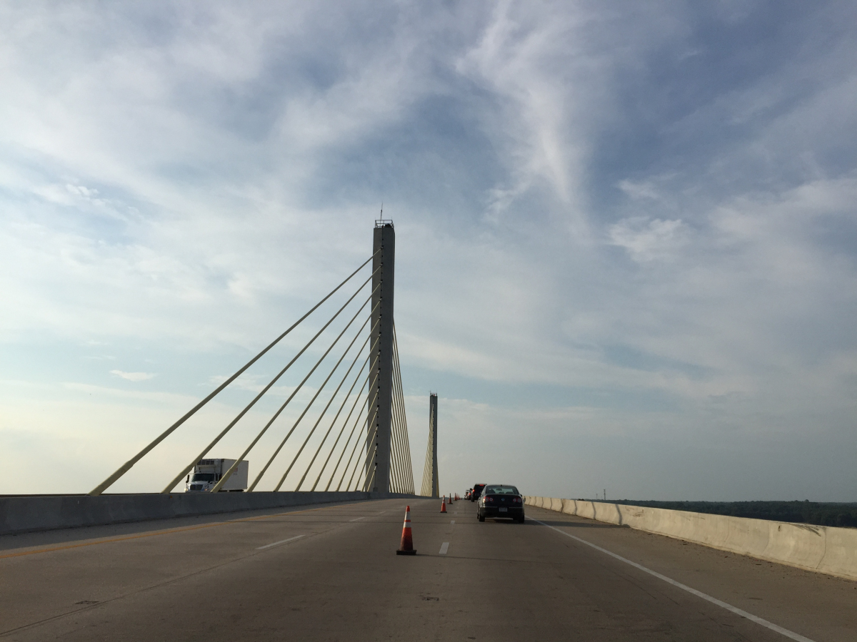
| Structure: |
Three-span cable-stayed bridge |
|---|---|
| Function / usage: |
Motorway bridge / freeway bridge |
| Material: |
Prestressed concrete bridge |
| Structure: |
Cable-stayed bridge with harp system |
| Construction method: |
deck: Precast segmental construction |
| Material: |
Structurae Plus/Pro - Subscribe Now! Structurae Plus/Pro - Subscribe Now! |
| Secondary structure(s): |
Structurae Plus/Pro - Subscribe Now! Structurae Plus/Pro - Subscribe Now! |
Location
| Location: |
Chesterfield County, Virginia, USA Henrico County, Virginia, USA |
|---|---|
| Carries: |
|
| Crosses: |
|
| Coordinates: | 37° 22' 46" N 77° 20' 48" W |
Technical Information
Dimensions
| main span | 192 m | |
| total length | 1 428 m | |
| clearance | 46 m | |
| number of lanes | 2 x 3 | |
| vertical navigation clearance | 46 m |
Materials
| deck |
precast prestressed concrete
|
|---|
Participants
Relevant Web Sites

Relevant Publications
- (2018): Live-Load Testing and Long-Term Monitoring of the Varina-Enon Bridge: Investigating Thermal Distress. In: Journal of Bridge Engineering (ASCE), v. 23, n. 3 (March 2018), pp. 04018003.
- (1989): Pont de James-River, près de Richmond, Virginie (USA). In: Travaux, n. 643 (May 1989), pp. 49-53.
- About this
data sheet - Structure-ID
20002450 - Published on:
01/12/2001 - Last updated on:
01/03/2021
Structurae cooperates with


