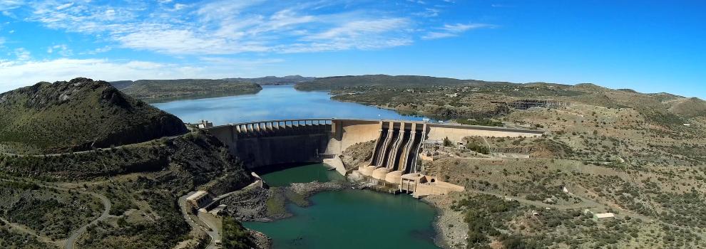
General Information
Project Type
| Structure: |
Arch dam |
|---|---|
| Function / usage: |
Hydroelectric dam / plant Irrigation & industrial water dam |
| Material: |
Concrete dam |
Location
| Location: |
Free State, South Africa Northern Cape, South Africa |
|---|---|
| Coordinates: | 29° 59' 28.91" S 24° 43' 54.01" E |
Technical Information
Dimensions
| height | 108 m |
Excerpt from Wikipedia
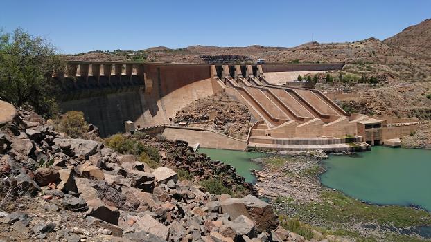
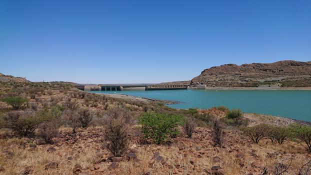
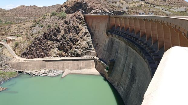
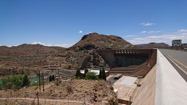
The Vanderkloof Dam (originally the P. K. Le Roux Dam) is situated approximately 130 km (81 mi) downstream from Gariep Dam and is fed by the Orange River, South Africa's largest river. Vanderkloof Dam is the second-largest dam in South Africa (in volume), having the highest dam wall in the country at 108 metres (354 ft). The dam was commissioned in 1977; it has a capacity of 3,187.557 million cubic metres (2,584,195 acre⋅ft) and a surface area of 133.43 square kilometres (51.52 sq mi) when full. Other rivers flowing into this dam are the Berg River, two unnamed streams coming in from the direction of Reebokrand, the Knapsak River, Paaiskloofspruit, Seekoei River, Kattegatspruit and the Hondeblaf River, in a clockwise direction.
Text imported from Wikipedia article "Vanderkloof Dam" and modified on July 23, 2019 according to the CC-BY-SA 4.0 International license.
Participants
Relevant Web Sites
- About this
data sheet - Structure-ID
20003768 - Published on:
22/06/2002 - Last updated on:
05/05/2022

