
General Information
| Completion: | 1985 |
|---|---|
| Status: | in use |
Project Type
| Structure: |
Tunnel |
|---|---|
| Function / usage: |
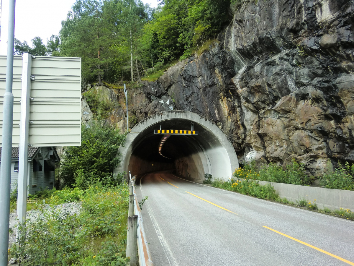
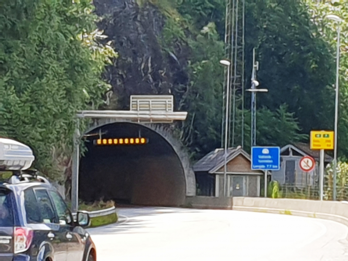
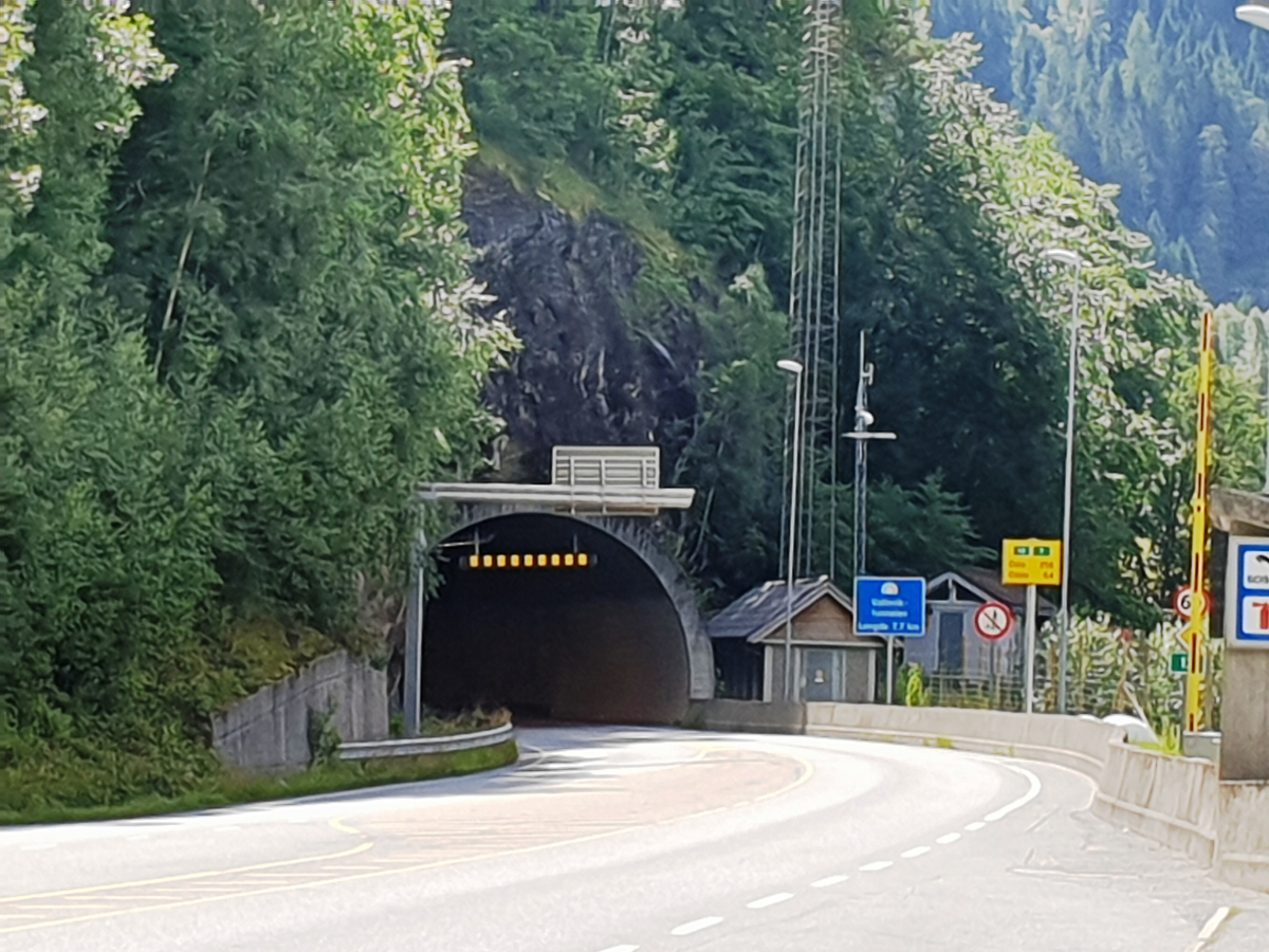
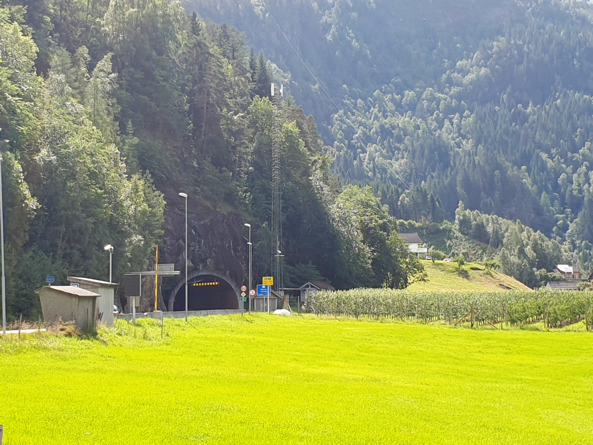
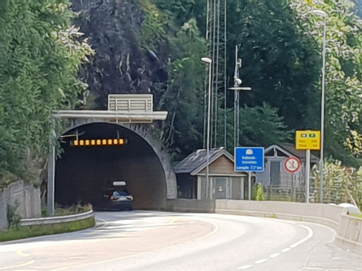
Road tunnel |
Location
| Location: |
Vestland, Norway |
|---|---|
| Address: | Fv572-Rv13 |
| Connects to: |
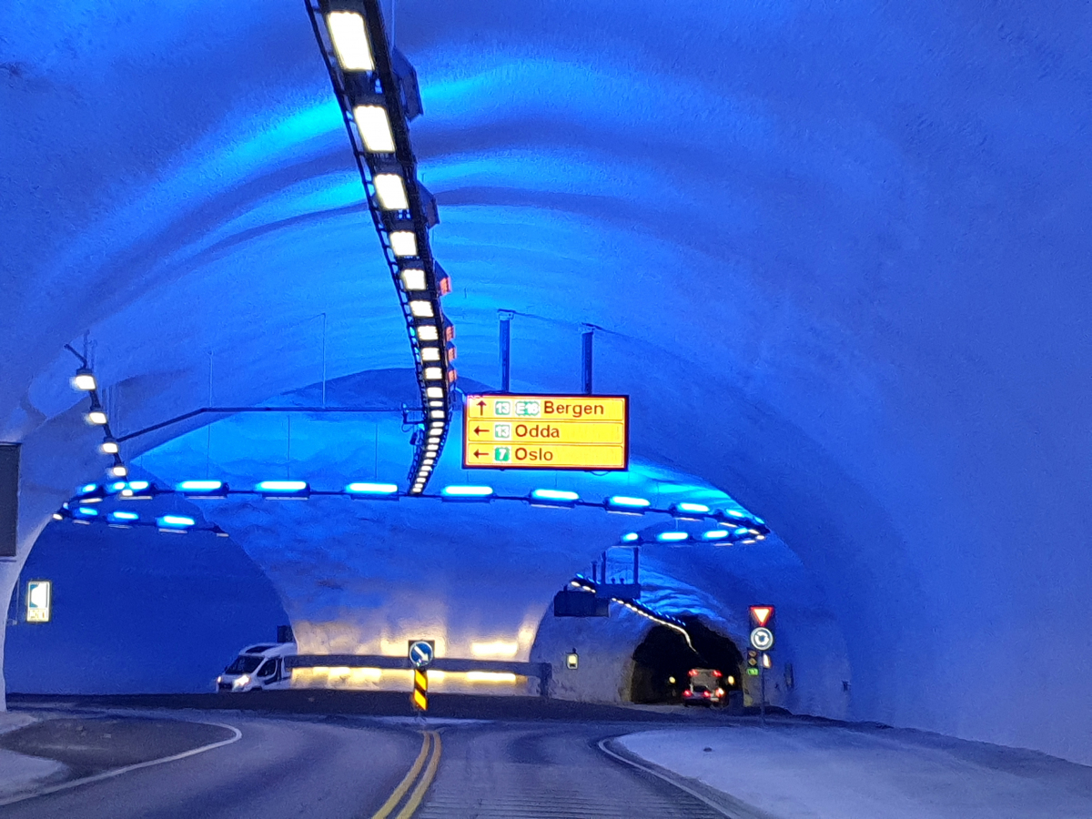
Hardanger Bridge (2013)
|
| Coordinates: | 60° 31' 58.90" N 6° 44' 6.07" E |
| Coordinates: | 60° 29' 17.87" N 6° 49' 57.14" E |
| Coordinates: | 60° 29' 4.30" N 6° 49' 22.84" E |
Technical Information
Dimensions
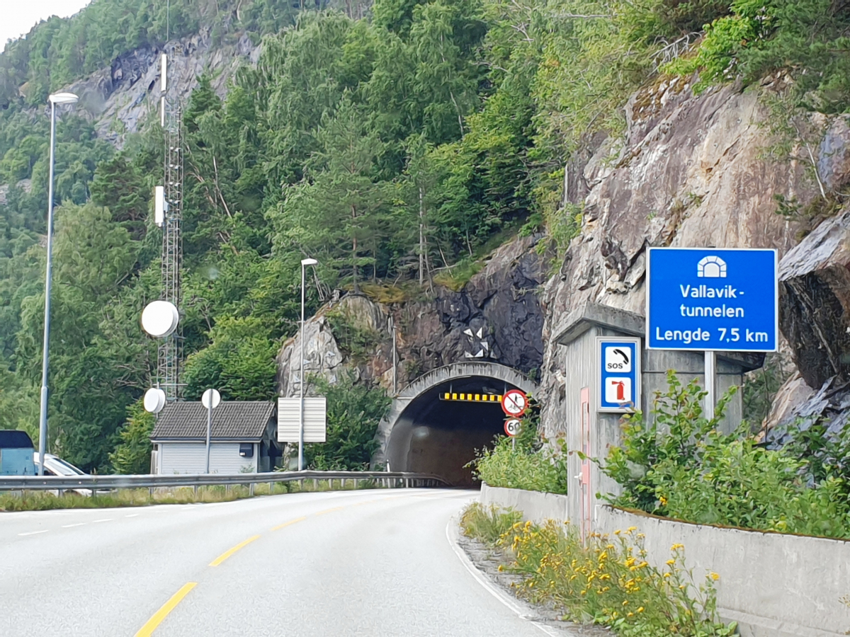
| Branch | length | 700 m |
| main tube | length | 7 510 m |
Chronology
| 27 April 1985 | Opened to traffic |
|---|---|
| 17 August 2013 | Roundabout and tunnel connection to Hardanger bridge opened to traffic |
Participants
Currently there is no information available about persons or companies having participated in this project.
Relevant Web Sites
There currently are no relevant websites listed.
Relevant Publications
- (2014): Hardangerbrua: il più lungo ponte sospeso norvegese. In: Strade e Autostrade, v. 18, n. 103 (January 2014), pp. 62-65.
- (2006): Un ponte da record sull'Eidfjord. In: Strade e Autostrade, v. 10, n. 57 (May 2006), pp. 100.
- About this
data sheet - Structure-ID
20074665 - Published on:
30/01/2018 - Last updated on:
24/09/2023
Structurae cooperates with


