
General Information
Project Type
| Function / usage: |
Artificial island |
|---|
Location
| km | Name |
Technical Information
There currently is no technical data available.
Excerpt from Wikipedia
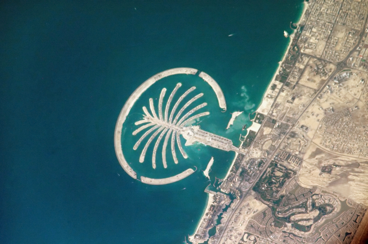
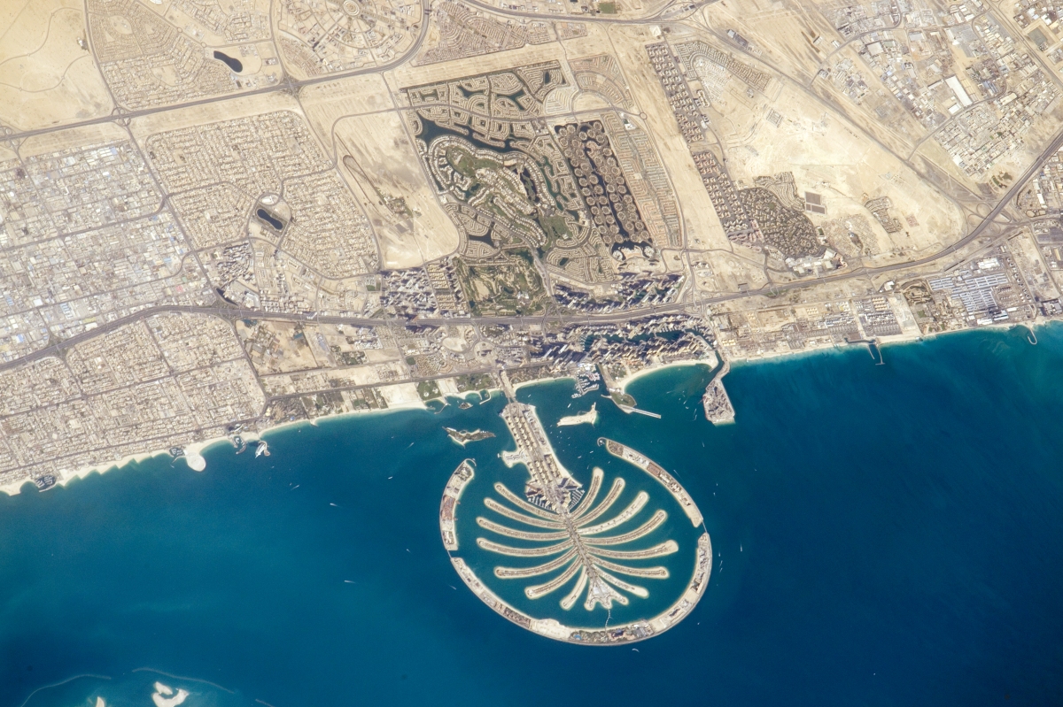
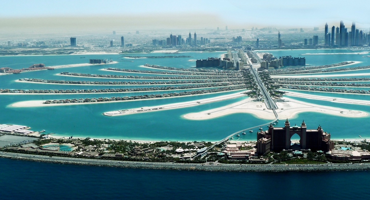
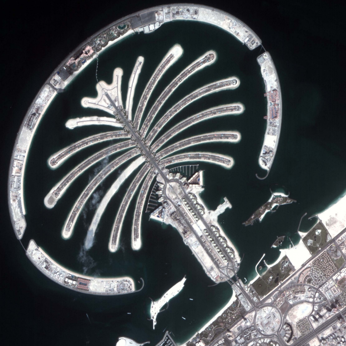
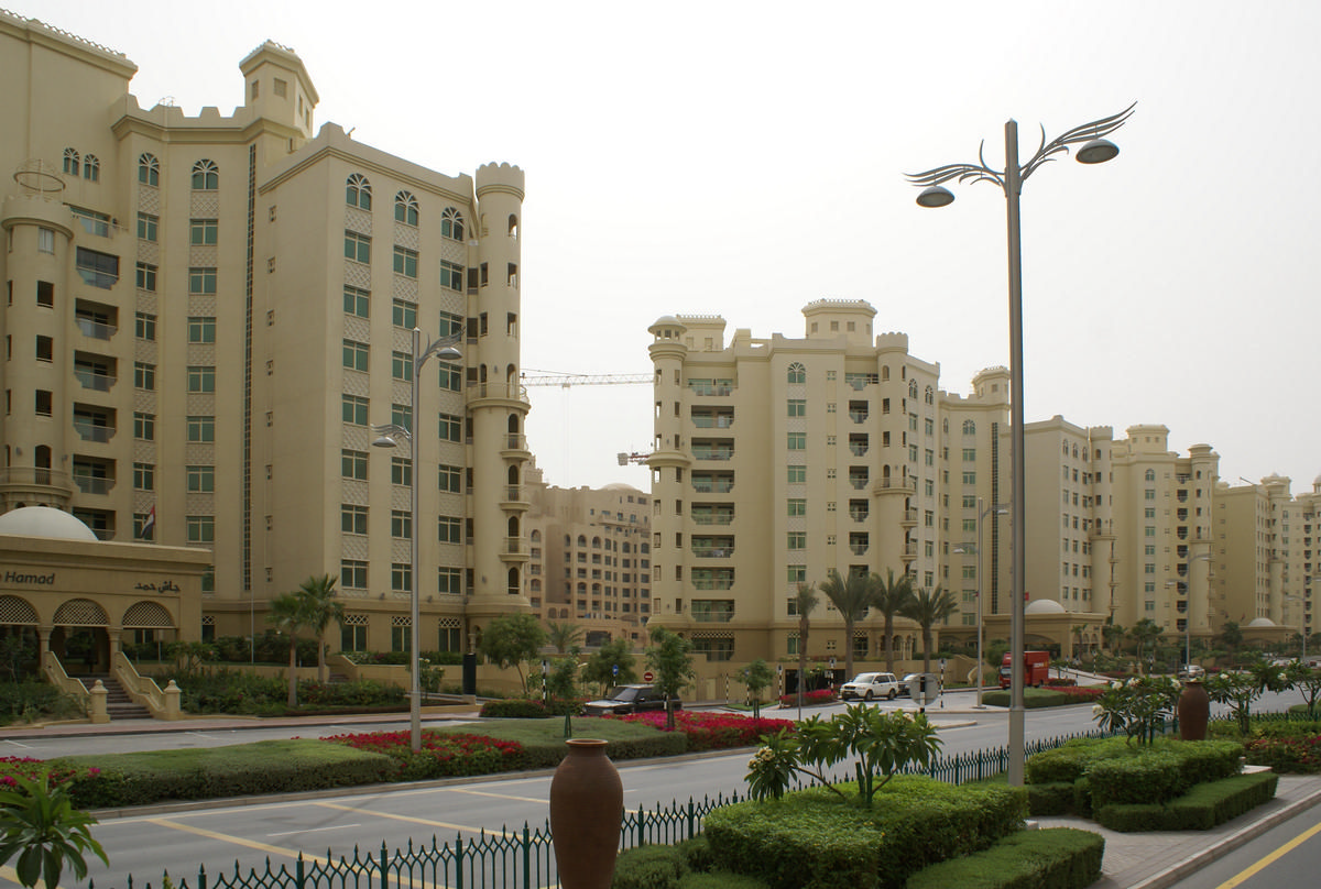
The Palm Jumeirah is an artificial archipelago in Dubai, in the United Arab Emirates, created using land reclamation by Nakheel which extends into the Persian Gulf. It is part of a larger series of developments called the Palm Islands, including Palm Jebel Ali and Palm Deira, which, when completed, will together increase Dubai's shoreline by a total of 520 kilometres (320 mi). It has an estimated population of 10,500 as of 2016. It is located on the Jumeirah coastal area of the emirate of Dubai, in the United Arab Emirates. The recently opened destinations The Pointe, Club Vista Mare and Nakheel Mall have provided another dimension to The Palm Jumeirah.
Transportation
Palm Jumeirah Monorail is a 5.4-kilometre-long (3.4 mi) monorail connecting the Atlantis Hotel to the Gateway Towers at the foot of the island. The monorail connects the Palm Jumeirah to the mainland, with a planned further extension to the Red Line of the Dubai Metro. The line began operating on 30 April 2009. It is the first monorail in the Middle East.
Construction
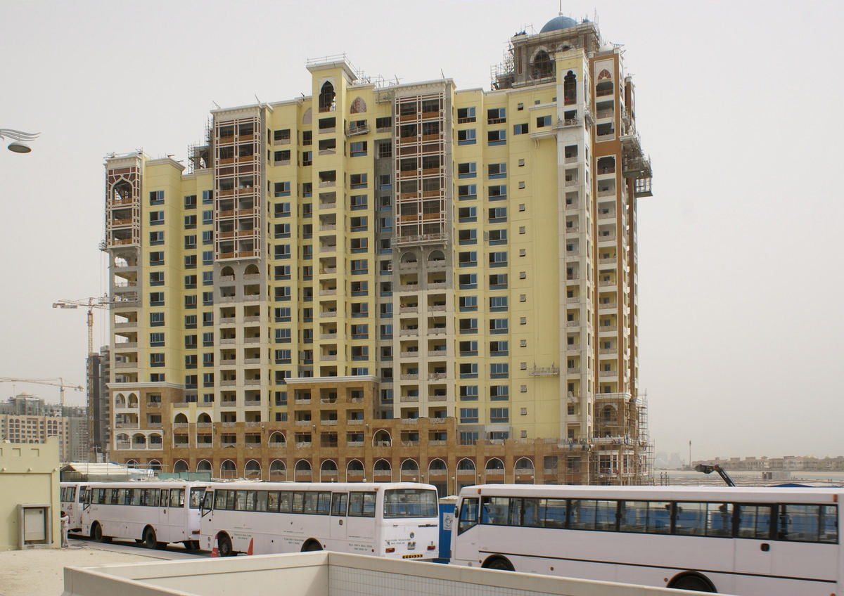
Construction of the Palm Jumeirah island began in June 2001 and the developers announced handover of the first residential units in 2006. At this time, 75% of the properties were ready to be handed over, with 500 families already residing on the island. By the end of 2009, 28 hotels were opened on the Crescent.
The complexities of the construction were blamed, in part, for the extended delays to the completion of the project, the date of which was pushed back multiple times and was nearly two years late.
In 2009 The New York Times reported that NASA's laser altimeter satellites had measured the Palm as sinking at the rate of 5 mm (0.20 in) per year. In response Nakheel said they had received no reports of structural problems of a type that would be expected if there were any subsidence, and pointed out that the laser satellites had a measurement resolution of only 50 mm (2.0 in).
Housing density
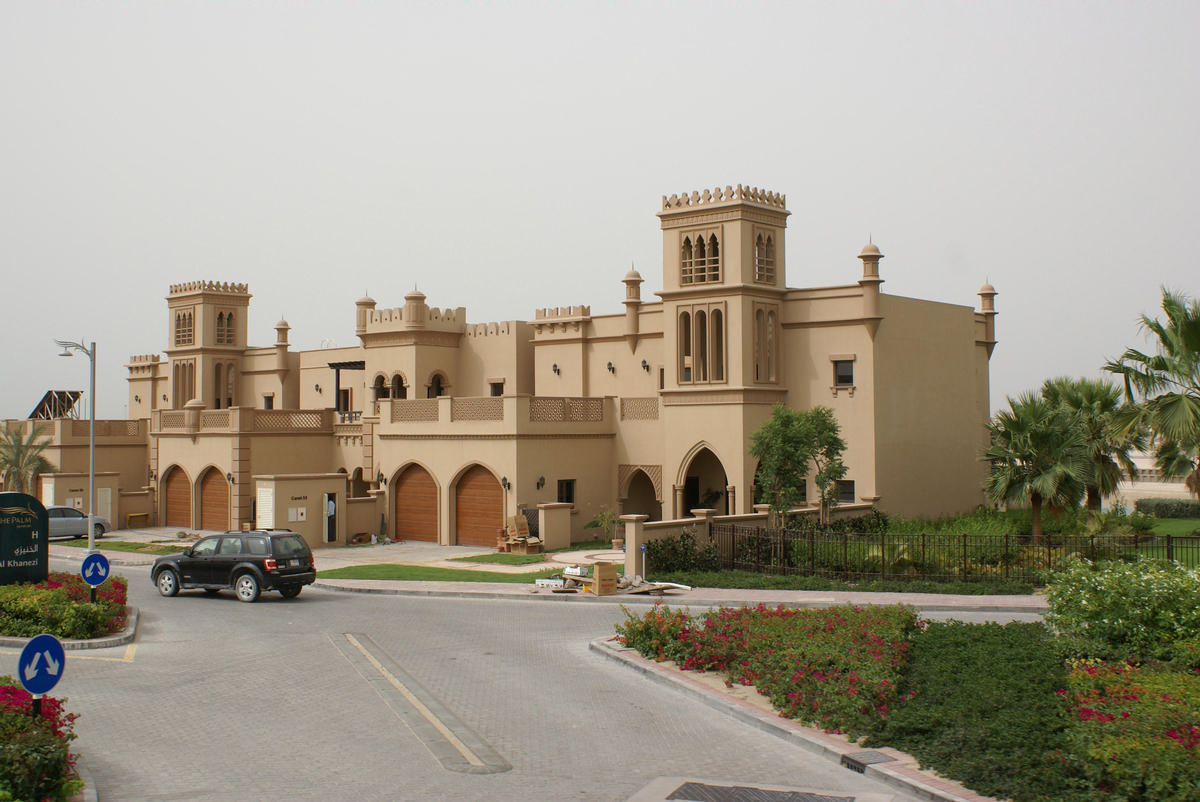
After launching the project, it was revealed that Nakheel increased the number of residential units on the island (with a concomitant reduction in the amount of physical space between individual properties) from the originally announced 4,500 (comprising 2,000 villas purchased early in the expectation of greater separation between properties). This increase was attributed to Nakheel miscalculating the actual cost of construction and requiring the raising of additional capital, although Nakheel has never commented publicly on the matter. The New York Times reported in 2009 that many people had bought houses before they were built and are furious about the space available now and the way they seem to be living on top of each other.
Water quality
The outer breakwater was designed as a continuous barrier, but by preventing natural tidal movement, the seawater within the Palm became stagnant. The breakwater was subsequently modified to create gaps on either side, allowing tidal movement to oxygenate the water within and prevent it from stagnating, albeit less efficiently than would be the case if the breakwater did not exist.
Text imported from Wikipedia article "Palm Jumeirah" and modified on April 20, 2020 according to the CC-BY-SA 4.0 International license.
Participants

Relevant Web Sites

Relevant Publications
- (2005): Palm Island (Dubaï). La 'huitième merveille du monde" est-elle vraiment visible de la lune?. In: Travaux, n. 817 (March 2005), pp. 37-40.
- About this
data sheet - Structure-ID
10044273 - Published on:
30/09/2003 - Last updated on:
05/08/2020


