
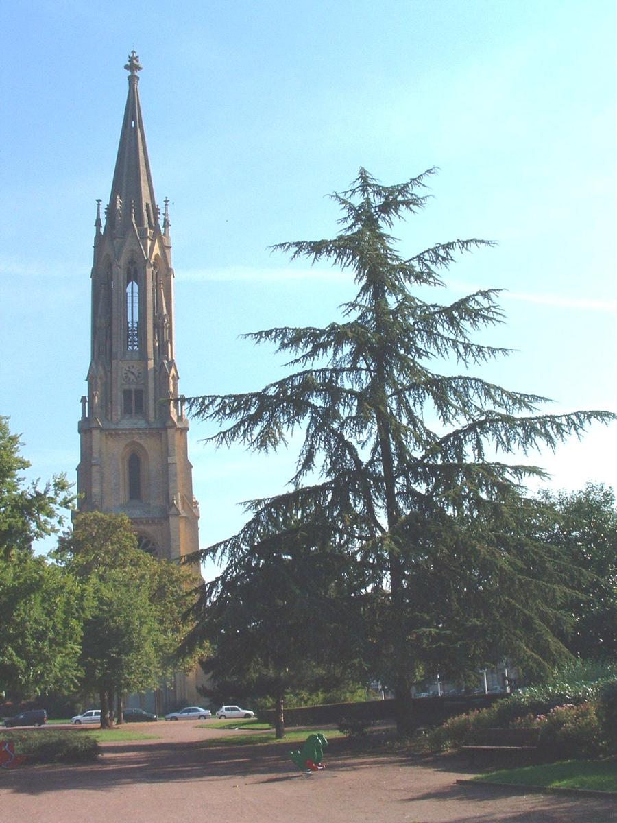
General Information
| Status: | destroyed (1940) |
|---|
Project Type
| Function / usage: |
Church |
|---|
Location
| Location: |
Metz, Moselle (57), Grand-Est, France |
|---|---|
| Coordinates: | 49° 7' 21.36" N 6° 10' 11.64" E |
Technical Information
Dimensions
| tower | height from ground to tip of spire | 107 m |
Participants
Currently there is no information available about persons or companies having participated in this project.
Relevant Web Sites
There currently are no relevant websites listed.
Relevant Publications
- (2007): Metz et Guillaume II. L'architecture publique à Metz au temps de l'empire allemand [1871-1918]. Editions Serpenoise, Metz (France), ISBN 978-2-87692-648-6, pp. 136.
- (2005): Metz. Les métamorphoses d'une ville. Editions Serpenoise, Metz (France), pp. 239-241.
- : Trésors de Metz. Serge Domini éditeur, Vaux (France), ISBN 978-2-35475-008-4, pp. 124-125.
- About this
data sheet - Structure-ID
20019215 - Published on:
25/01/2006 - Last updated on:
29/07/2014
Structurae cooperates with


