
General Information
| Completion: | 1807 |
|---|---|
| Status: | in use |
Project Type
| Function / usage: |
Road bridge |
|---|---|
| Structure: |
Vaulted arch bridge |
| Material: |
Masonry bridge |
Location
| Location: |
Sutton Courtenay, Oxfordshire, South East England, England, United Kingdom |
|---|---|
| Address: | Abingdon Road |
| Crosses: |
|
| Coordinates: | 51° 38' 59.38" N 1° 15' 56.47" W |
Technical Information
There currently is no technical data available.
Excerpt from Wikipedia
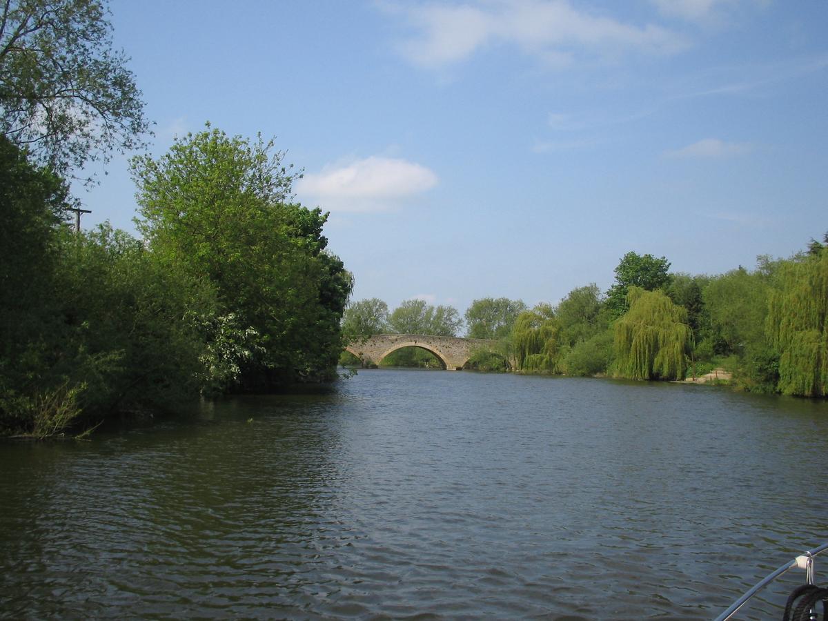
Sutton Bridge, Oxfordshire is a road bridge across the River Thames near the village of Sutton Courtenay, Oxfordshire, England. It is a stone structure built in 1807 with three arches over the main river and two smaller ones across the flood plain. An extension was built in 1809 across the Culham Cut, just below Culham Lock. It was originally a toll bridge and replaced an earlier multi-arch bridge over the original weir and a ferry at this site. It is a Grade II listed building.
Text imported from Wikipedia article "Sutton Bridge, Oxfordshire" and modified on July 23, 2019 according to the CC-BY-SA 4.0 International license.
Participants
Currently there is no information available about persons or companies having participated in this project.
Relevant Web Sites

Relevant Publications
- (1981): Thames Crossings. Bridges, Tunnels and Ferries. David & Charles, Newton Abbot (United Kingdom), pp. 61-63.
- About this
data sheet - Structure-ID
20076528 - Published on:
12/01/2019 - Last updated on:
28/05/2021


