
General Information
Project Type
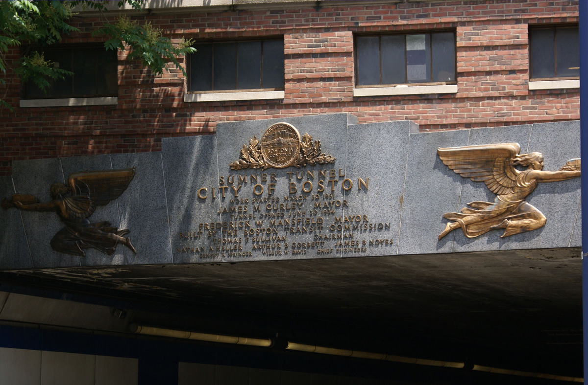
| Structure: |
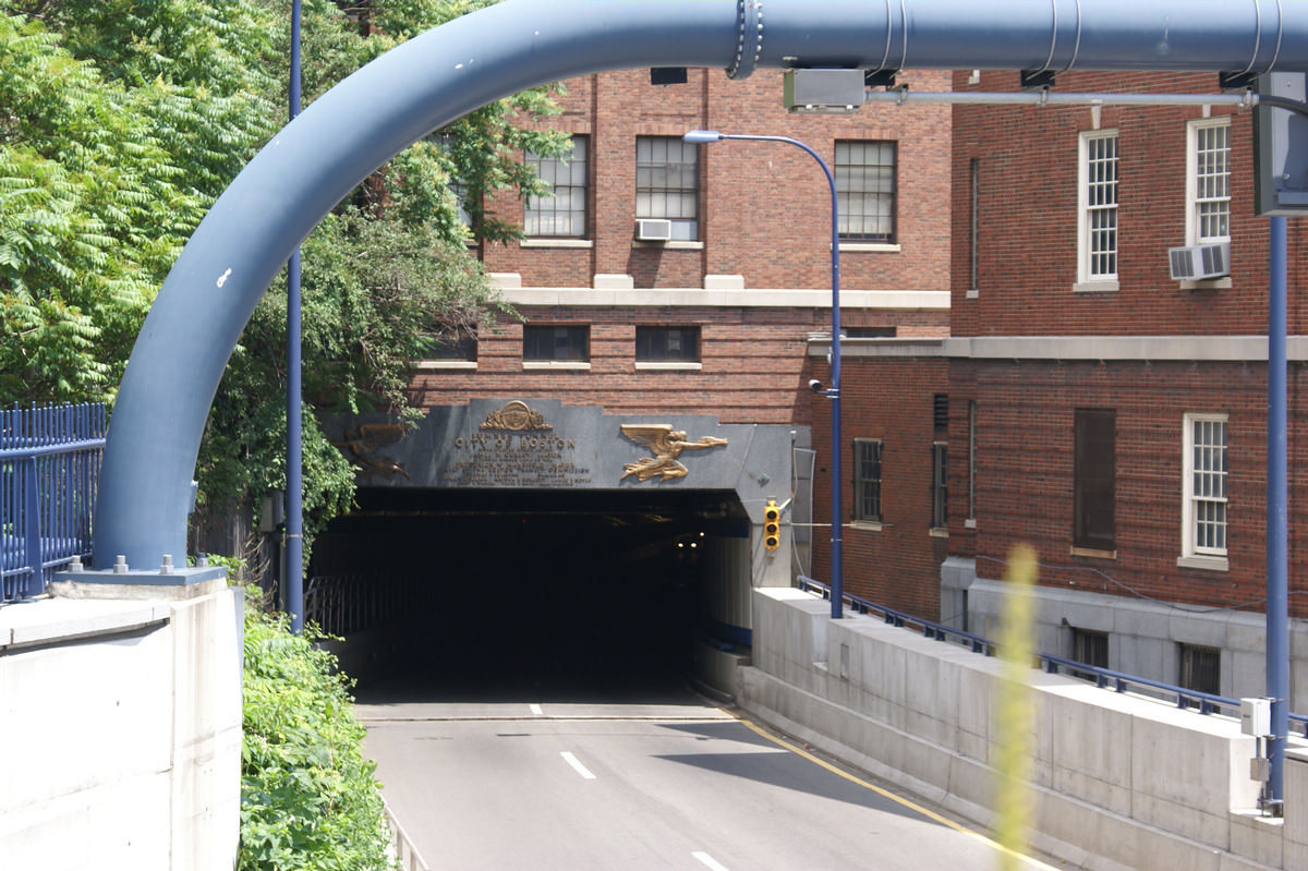
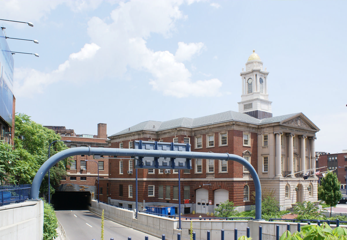
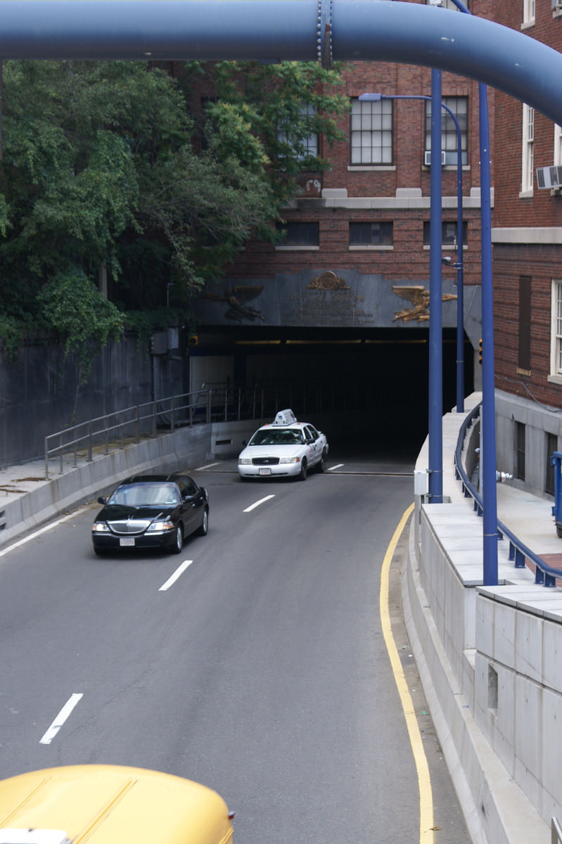
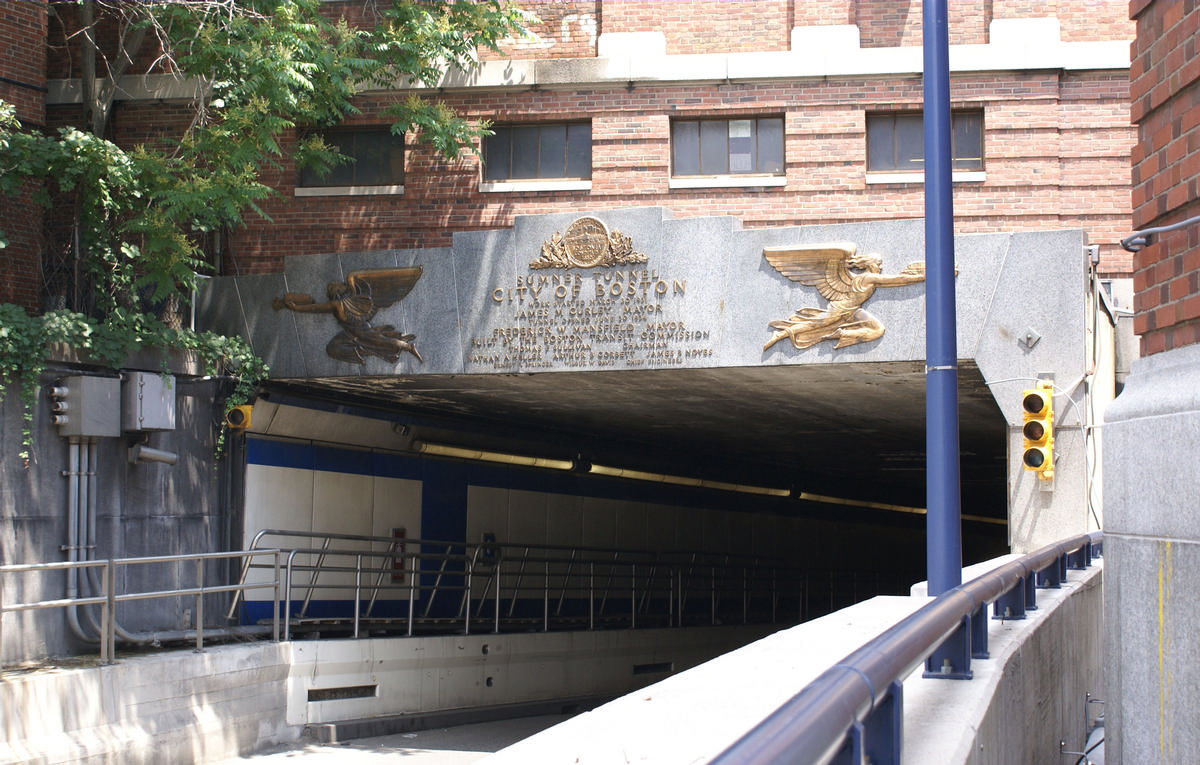
Tunnel |
|---|---|
| Function / usage: |
Road tunnel |
Location
| Location: |
Boston, Suffolk County, Massachusetts, USA |
|---|---|
| Underneath of: |
|
| Next to: |
Callahan Traffic Tunnel (1961)
|
| Coordinates: | 42° 21' 46.38" N 71° 3' 17.16" W |
| Coordinates: | 42° 22' 23.27" N 71° 2' 19.32" W |
Technical Information
Dimensions
| length | 1.72 km | |
| clear interior profile | 4.1 m x 6.8 m | |
| number of lanes | 2 |
Participants
Currently there is no information available about persons or companies having participated in this project.
Relevant Web Sites
There currently are no relevant websites listed.
Relevant Publications
- (1934): Le tunnel sous-marin de Boston [Etats-Unis]. In: La Technique des Travaux, v. 10, n. 10 (October 1934), pp. 621-632.
- About this
data sheet - Structure-ID
20010274 - Published on:
15/09/2003 - Last updated on:
28/05/2021
Structurae cooperates with


