
General Information
| Completion: | 10 May 1985 |
|---|---|
| Status: | in use |
Project Type
| Function / usage: |
Below grade metro or light-rail station |
|---|---|
| Structure: |
Underground structure |
Location
| Location: |
Laeken, Brussels, Brussels-Capital, Belgium |
|---|---|
| Part of: | |
| Coordinates: | 50° 53' 10" N 4° 20' 30" E |
Technical Information
There currently is no technical data available.
Excerpt from Wikipedia
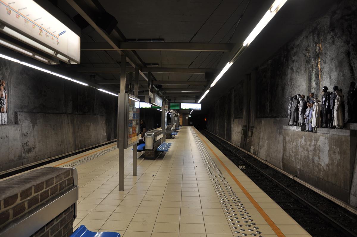
Stuyvenbergh metro station is located under the intersection of Avenue Houba De Strooper, Emile Bockstael and De Smet De Naeyerlaan, in the northwest of the City of Brussels. The underground station is named after the Castle of Stuyvenberg, located east of the station in the park of Laeken. Stuyvenbergh Brussels Metro station, opened on 5 July 1985, is on line 6.
Text imported from Wikipedia article "Stuyvenbergh metro station" and modified on July 23, 2019 according to the CC-BY-SA 4.0 International license.
Participants
Currently there is no information available about persons or companies having participated in this project.
Relevant Web Sites

- About this
data sheet - Structure-ID
20053158 - Published on:
14/02/2010 - Last updated on:
05/02/2022
Structurae cooperates with


