General Information
| Name in local language: | Stubaitalbahn |
|---|---|
| Official designation: | Streckennummer ÖBB: 916 01 |
| Completion: | July 1904 |
| Status: | in use |
Project Type
| Function / usage: |
Tram-Train Line |
|---|
Location
| km | Name |
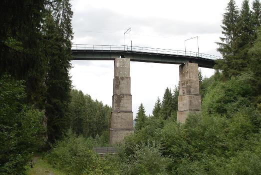
| 7.930 | |
| 8.100 | |
| 11.200 |
Technical Information
Dimensions
| length | 18.164 km | |
| dome radius | min. 40 m | |
| longitudinal slope | max. 46 ‰ | |
| track gauge | 1 000 m |
Excerpt from Wikipedia
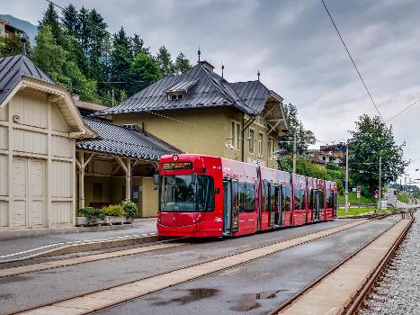
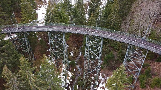
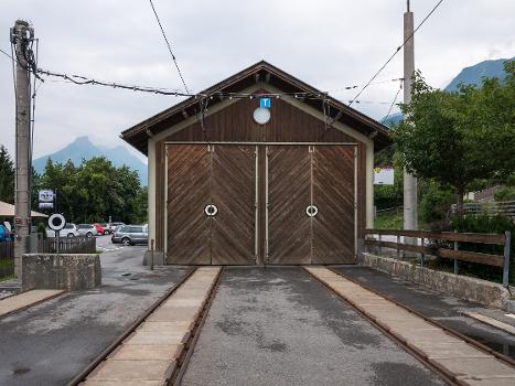
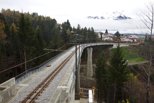
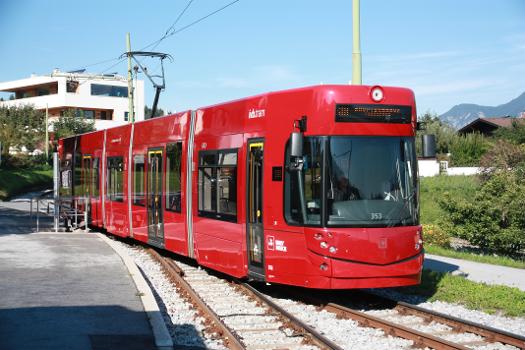
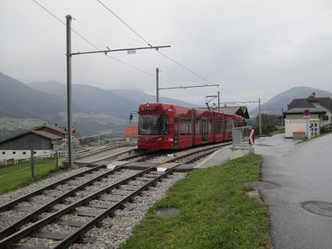
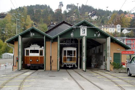
The Stubaitalbahn (Stubai Valley Railway) is an 18.2 km (11.31 mi) long narrow gauge interurban tram from Innsbruck to Fulpmes in Tyrol, Austria. In the city of Innsbruck, it uses the local tramway tracks. At the Stubaital station, the branch line-rated part begins. The meter gauge track starts at Innsbruck's Main station, crosses the Wilten district, and passes the villages of Natters, Mutters, Kreith, and Telfes. Between the Stubaital station and Fulpmes, the railway is single-track, but at nine stations: Sonnenburgerhof, Hölltal, Mutters, Nockhofweg Muttereralmbahn, Feldeler, Kreith, Telfer Wiesen, Luimes, Telfes, there are passing loops where the train usually uses the left-hand track. The final station, Fulpmes, has three tracks and one depot.
Text imported from Wikipedia article "Stubaitalbahn" and modified on May 27, 2022 according to the CC-BY-SA 4.0 International license.
Participants
Relevant Web Sites
- About this
data sheet - Structure-ID
20082866 - Published on:
18/05/2022 - Last updated on:
07/09/2023

